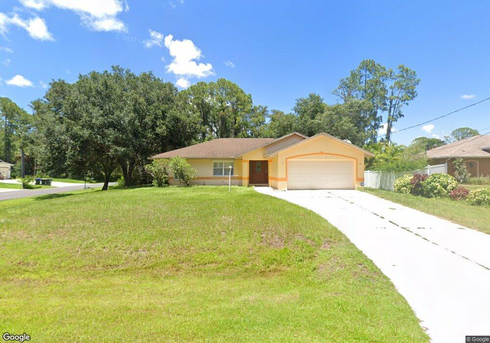
3190 Broad Ave North Port, FL 34286
Estimated Value: $302,000 - $353,000
3
Beds
2
Baths
1,386
Sq Ft
$235/Sq Ft
Est. Value
About This Home
This home is located at 3190 Broad Ave, North Port, FL 34286 and is currently estimated at $325,457, approximately $234 per square foot. 3190 Broad Ave is a home located in Sarasota County with nearby schools including North Port High School, Lamarque Elementary School, and Woodland Middle School.
Ownership History
Date
Name
Owned For
Owner Type
Purchase Details
Closed on
Dec 21, 2001
Sold by
Berman Herbert L
Bought by
Dowgiallo Vincent P
Current Estimated Value
Home Financials for this Owner
Home Financials are based on the most recent Mortgage that was taken out on this home.
Original Mortgage
$80,000
Outstanding Balance
$31,075
Interest Rate
6.49%
Estimated Equity
$294,382
Create a Home Valuation Report for This Property
The Home Valuation Report is an in-depth analysis detailing your home's value as well as a comparison with similar homes in the area
Home Values in the Area
Average Home Value in this Area
Purchase History
| Date | Buyer | Sale Price | Title Company |
|---|---|---|---|
| Dowgiallo Vincent P | $5,400 | -- |
Source: Public Records
Mortgage History
| Date | Status | Borrower | Loan Amount |
|---|---|---|---|
| Open | Dowgiallo Vincent P | $80,000 |
Source: Public Records
Tax History Compared to Growth
Tax History
| Year | Tax Paid | Tax Assessment Tax Assessment Total Assessment is a certain percentage of the fair market value that is determined by local assessors to be the total taxable value of land and additions on the property. | Land | Improvement |
|---|---|---|---|---|
| 2024 | $4,528 | $246,634 | -- | -- |
| 2023 | $4,528 | $292,100 | $30,100 | $262,000 |
| 2022 | $4,262 | $279,400 | $40,700 | $238,700 |
| 2021 | $3,567 | $185,300 | $18,600 | $166,700 |
| 2020 | $3,416 | $174,100 | $17,200 | $156,900 |
| 2019 | $3,266 | $169,800 | $15,800 | $154,000 |
| 2018 | $2,821 | $146,400 | $15,300 | $131,100 |
| 2017 | $1,366 | $89,033 | $0 | $0 |
| 2016 | $1,353 | $133,600 | $9,800 | $123,800 |
| 2015 | $1,367 | $114,900 | $8,900 | $106,000 |
| 2014 | $1,339 | $84,639 | $0 | $0 |
Source: Public Records
Map
Nearby Homes
- 4343 Carver St
- 3276 Chipley Ave
- 0 Lummus St Unit 2025005676
- 0 Lummus St Unit 225049848
- 0 Lummus St Unit MFRC7497102
- 0 Platt St Unit MFRA4667068
- 4035 Bruingst
- 0 Carver St Unit MFRC7498857
- 4610 Clarke St
- 4023 Platt St
- 2969 Wells Ave
- 13 & 14 Lutz Rd
- Lot 17 Welland Terrace
- 2834 Coolidge Ave
- 0 N Cranberry Blvd Unit 225068009
- 0 N Cranberry Blvd Unit MFRC7504527
- 0 N Cranberry Blvd Unit MFRC7504480
- 0 N Cranberry Blvd Unit MFRC7504479
- 0 Maywood Ln
- 8 Lummus St
- 0 Broad Ave
- 3159 Chipley Ave
- 4398 Street
- 4355 Carver St
- 4398 Carver St
- 4291 Carver St
- 3141 Chipley Ave
- 3225 Chipley Ave
- 4226 Carver St
- 3123 Chipley Ave
- 3178 Chipley Ave
- 4238 Bruing St
- 4227 Carver St
- 3160 Chipley Ave
- 3255 Chipley Ave
- 3086 Broad Ave
- 3216 Chipley Ave
- 3124 Chipley Ave
- 3060 Broad Ave
- 0 Bruing St Unit C7403338