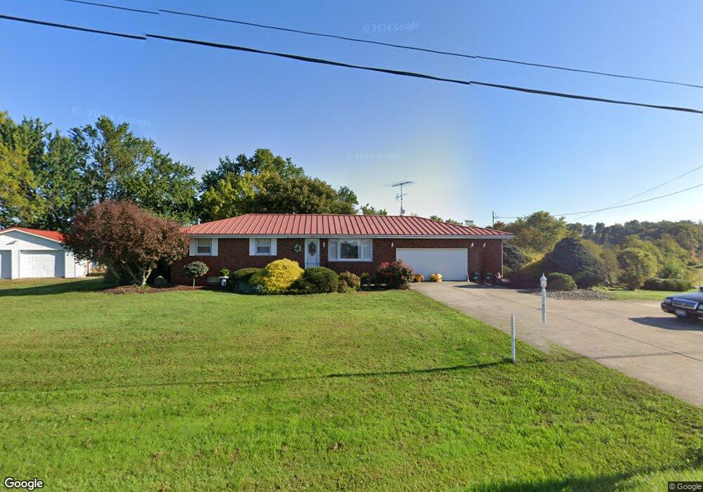
3190 State Route 555 Little Hocking, OH 45742
Estimated Value: $235,698 - $483,000
3
Beds
2
Baths
1,144
Sq Ft
$274/Sq Ft
Est. Value
About This Home
This home is located at 3190 State Route 555, Little Hocking, OH 45742 and is currently estimated at $313,425, approximately $273 per square foot. 3190 State Route 555 is a home located in Washington County with nearby schools including Warren High School.
Ownership History
Date
Name
Owned For
Owner Type
Purchase Details
Closed on
May 27, 2011
Sold by
Smith Mary A
Bought by
Mayle Gail L and Mayle Lillie S
Current Estimated Value
Purchase Details
Closed on
Feb 7, 2000
Bought by
Smith Mary A
Purchase Details
Closed on
Aug 27, 1991
Bought by
Rexroad Ruth E and Rexroad John L
Purchase Details
Closed on
Apr 18, 1986
Create a Home Valuation Report for This Property
The Home Valuation Report is an in-depth analysis detailing your home's value as well as a comparison with similar homes in the area
Home Values in the Area
Average Home Value in this Area
Purchase History
| Date | Buyer | Sale Price | Title Company |
|---|---|---|---|
| Mayle Gail L | $147,000 | None Available | |
| Smith Mary A | $125,000 | -- | |
| Smith Mary A | $125,000 | -- | |
| Rexroad Ruth E | -- | -- | |
| Rexroad Ruth E | -- | -- | |
| -- | -- | -- | |
| -- | -- | -- |
Source: Public Records
Tax History Compared to Growth
Tax History
| Year | Tax Paid | Tax Assessment Tax Assessment Total Assessment is a certain percentage of the fair market value that is determined by local assessors to be the total taxable value of land and additions on the property. | Land | Improvement |
|---|---|---|---|---|
| 2024 | $2,302 | $67,990 | $4,670 | $63,320 |
| 2023 | $2,302 | $67,990 | $4,670 | $63,320 |
| 2022 | $2,334 | $67,990 | $4,670 | $63,320 |
| 2021 | $2,367 | $66,040 | $3,340 | $62,700 |
| 2020 | $2,216 | $66,040 | $3,340 | $62,700 |
| 2019 | $2,184 | $66,040 | $3,340 | $62,700 |
| 2018 | $1,926 | $57,820 | $2,900 | $54,920 |
| 2017 | $1,915 | $57,820 | $2,900 | $54,920 |
| 2016 | $2,856 | $57,820 | $2,900 | $54,920 |
| 2015 | $1,398 | $48,800 | $2,870 | $45,930 |
| 2014 | $2,439 | $48,800 | $2,870 | $45,930 |
| 2013 | $1,402 | $48,800 | $2,870 | $45,930 |
Source: Public Records
Map
Nearby Homes
- 2567 State Route 555
- 0 T1309
- 966 State Route 555
- 852 Wallace Rd
- 29500 Houston Rd
- 0 Houston Rd
- 5595 N Torch Rd
- 950 Federal Rd
- 6750 O'Neil Rd
- 19 Suzanne St
- 00 Orchard Dr
- 631 Short Brook Rd
- 72 Franklin Dr
- 0 Murphy Rd Unit 2431698
- 2207 Veto Rd
- 0 Newberry Rd Unit 4279424
- 28 Mcgill Rd
- 1556 Mcgill Rd
- 1396 State Route 339
- 2500 Robert Kelly Rd
- 3156 State Route 555
- 3138 State Route 555
- 3095 State Route 555
- 3308 State Route 555
- 2996 State Route 555
- 2996 State Route 555
- 2915 Ross Rd
- 3492 State Route 555
- 2875 Ross Rd
- 3492 Ohio 555
- 2815 Ross Rd
- 2850 State Route 555
- 2850 Ohio 555
- 168 T398
- 77 W Branch Rd
- 2815 State Route 555
- 223 Antioch Rd
- 2675 Ross Rd
- 2810 State Route 555
- 30 W Branch Rd