31900 Circle Dr Mc Arthur, OH 45651
Estimated Value: $147,000 - $230,000
--
Bed
2
Baths
1,354
Sq Ft
$128/Sq Ft
Est. Value
About This Home
This home is located at 31900 Circle Dr, Mc Arthur, OH 45651 and is currently estimated at $172,946, approximately $127 per square foot. 31900 Circle Dr is a home located in Vinton County with nearby schools including Vinton County High School.
Ownership History
Date
Name
Owned For
Owner Type
Purchase Details
Closed on
Jun 12, 2025
Sold by
Hayes Curtis J
Bought by
Hayes Curtis J and Bay Lisa D
Current Estimated Value
Home Financials for this Owner
Home Financials are based on the most recent Mortgage that was taken out on this home.
Original Mortgage
$50,000
Outstanding Balance
$49,478
Interest Rate
5.92%
Mortgage Type
Credit Line Revolving
Estimated Equity
$123,468
Purchase Details
Closed on
Aug 12, 2019
Sold by
Hayes James E and Hayes Mary F
Bought by
Hayes Curtis J
Create a Home Valuation Report for This Property
The Home Valuation Report is an in-depth analysis detailing your home's value as well as a comparison with similar homes in the area
Home Values in the Area
Average Home Value in this Area
Purchase History
| Date | Buyer | Sale Price | Title Company |
|---|---|---|---|
| Hayes Curtis J | -- | None Listed On Document | |
| Hayes Curtis J | -- | None Available |
Source: Public Records
Mortgage History
| Date | Status | Borrower | Loan Amount |
|---|---|---|---|
| Open | Hayes Curtis J | $50,000 |
Source: Public Records
Tax History Compared to Growth
Tax History
| Year | Tax Paid | Tax Assessment Tax Assessment Total Assessment is a certain percentage of the fair market value that is determined by local assessors to be the total taxable value of land and additions on the property. | Land | Improvement |
|---|---|---|---|---|
| 2024 | $1,503 | $43,560 | $5,120 | $38,440 |
| 2023 | $633 | $33,580 | $3,550 | $30,030 |
| 2022 | $1,271 | $33,580 | $3,550 | $30,030 |
| 2021 | $1,265 | $33,580 | $3,550 | $30,030 |
| 2020 | $1,203 | $30,390 | $3,090 | $27,300 |
| 2019 | $1,202 | $30,390 | $3,090 | $27,300 |
| 2018 | $826 | $30,390 | $3,090 | $27,300 |
| 2017 | $740 | $27,620 | $2,800 | $24,820 |
| 2016 | $737 | $27,620 | $2,800 | $24,820 |
| 2015 | $761 | $29,440 | $2,630 | $26,810 |
| 2014 | $761 | $29,440 | $2,630 | $26,810 |
Source: Public Records
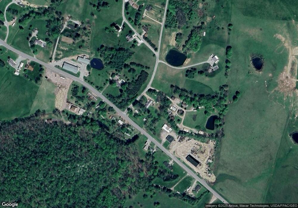
Map
Nearby Homes
- 62722 U S 50
- 31811 Overview Dr
- 643 W Main St
- 62130 Locker Plant Rd
- 211 N Spring St
- 32103 State Route 93
- 61823 U S 50
- 626 Engle Dr
- 206 N Sugar St
- 106 E Maple Dr
- 206 W Main St
- 0 Highway 50
- 0 Wolf Hill Rd Unit (Tract 7 Wolf Hill)
- 0 Wolf Hill Rd Unit (Tract 3 Wolf Hill)
- 0 Wolf Hill Rd Unit (Tract 4 Wolf Hill)
- 0 Wolf Hill Rd Unit (Tract 2 Wolf Hill)
- 0 Wolf Hill Rd Unit 25026051
- 0 Wolf Hill Rd Unit (Tract 5 Wolf Hill)
- 0 Wolf Hill Rd Unit (Tract 6 Wolf Hill)
- 0 Wolf Hill Rd Unit (Tract 1 Wolf Hill)
- 63044 Us Highway 50
- 63044 Us Highway 50
- 63044 Us Highway 50
- 63044 Us Highway 50
- 63027 Us Highway 50
- 63027 Us Highway 50
- 63134 Us Highway 50
- 63140 U S 50
- 31550 Circle Dr
- 31529 Circle Dr
- 31844 Circle Dr
- 31634 Circle Dr
- 63158 Us Highway 50
- 31793 Circle Dr
- 31625 Circle Dr
- 31625 Circle Dr
- 31696 Circle Dr
- 63200 Us Highway 50
- 62922 Us Highway 50
- 31646 Circle Dr