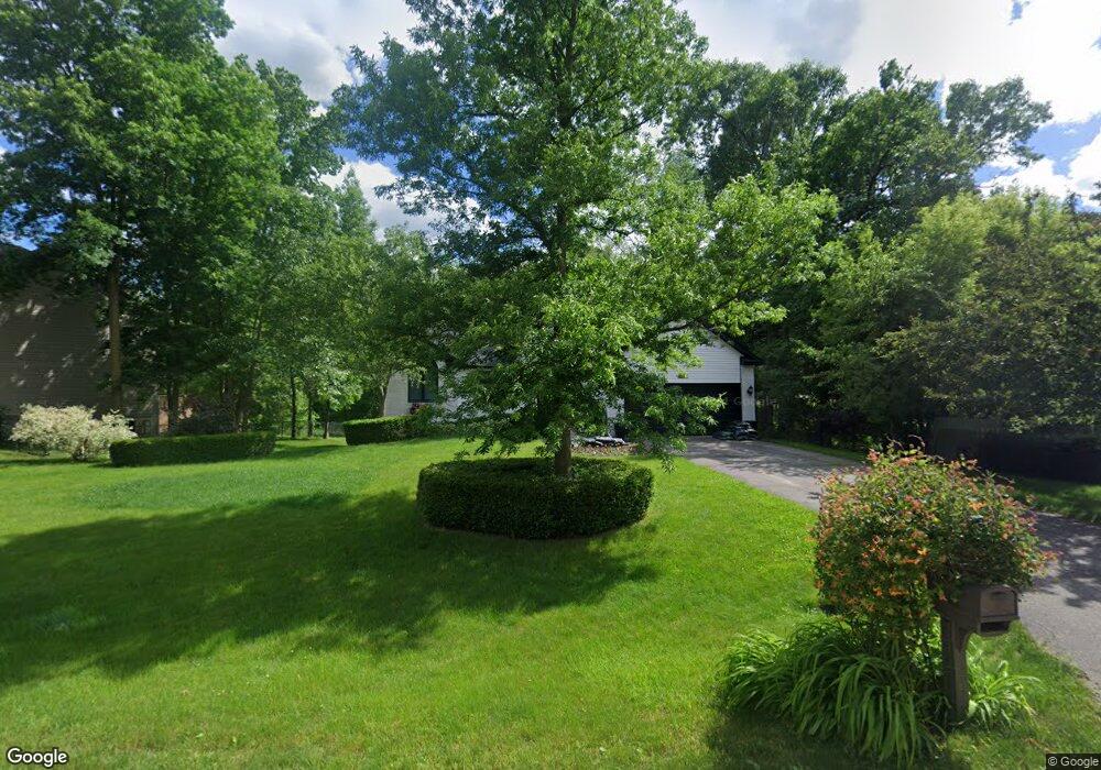
3191 Whitetail Ln Owosso, MI 48867
Estimated Value: $253,668 - $309,000
Studio
--
Bath
--
Sq Ft
13,504
Sq Ft Lot
About This Home
This home is located at 3191 Whitetail Ln, Owosso, MI 48867 and is currently estimated at $282,167. 3191 Whitetail Ln is a home located in Shiawassee County with nearby schools including Perry Elementary School, Perry Middle School, and Perry High School.
Ownership History
Date
Name
Owned For
Owner Type
Purchase Details
Closed on
Mar 31, 2004
Sold by
Sanders Mark A and Sanders Mary
Bought by
Anderson Christine J
Current Estimated Value
Home Financials for this Owner
Home Financials are based on the most recent Mortgage that was taken out on this home.
Original Mortgage
$146,300
Outstanding Balance
$68,799
Interest Rate
5.65%
Mortgage Type
Purchase Money Mortgage
Estimated Equity
$213,368
Purchase Details
Closed on
Nov 21, 2003
Sold by
Louis J Eyde Limited Family Partnership
Bought by
Sanders Mark A
Create a Home Valuation Report for This Property
The Home Valuation Report is an in-depth analysis detailing your home's value as well as a comparison with similar homes in the area
Purchase History
| Date | Buyer | Sale Price | Title Company |
|---|---|---|---|
| Anderson Christine J | $182,900 | Midstate Title Company | |
| Sanders Mark A | $24,900 | -- |
Source: Public Records
Mortgage History
| Date | Status | Borrower | Loan Amount |
|---|---|---|---|
| Open | Anderson Christine J | $146,300 | |
| Closed | Anderson Christine J | $27,455 |
Source: Public Records
Tax History
| Year | Tax Paid | Tax Assessment Tax Assessment Total Assessment is a certain percentage of the fair market value that is determined by local assessors to be the total taxable value of land and additions on the property. | Land | Improvement |
|---|---|---|---|---|
| 2025 | $2,770 | $133,800 | $0 | $0 |
| 2024 | $2,620 | $131,400 | $0 | $0 |
| 2023 | $1,252 | $119,800 | $0 | $0 |
| 2022 | $1,192 | $108,400 | $0 | $0 |
| 2021 | $2,315 | $98,300 | $0 | $0 |
| 2020 | $2,305 | $100,700 | $0 | $0 |
| 2019 | $2,264 | $82,300 | $0 | $0 |
| 2018 | $2,215 | $71,500 | $0 | $0 |
| 2017 | $2,027 | $70,700 | $0 | $0 |
| 2016 | -- | $70,700 | $0 | $0 |
| 2015 | -- | $70,300 | $0 | $0 |
| 2014 | $11 | $66,200 | $0 | $0 |
Source: Public Records
Map
Nearby Homes
- 122 Innsbrook Dr
- 3062 Innsbrook Dr
- 7697 Riverview St
- 3287 Oakview Dr
- 38 Bennington Greens
- 20 Bennington Greens Dr
- 26 Bennington Greens Dr Unit 26
- 24 Bennington Greens Dr
- 25 Bennington Greens Dr
- Vacant Land Tyrrell Rd
- V/l W Tyrrell Rd
- 8993 S Morrice Rd
- 0 Gale Rd Unit 50124635
- 0 E Lansing Rd
- 4458 S M 52
- 10980 S M 52
- 1100 W Lansing Rd
- 00 W Riverview Dr
- 612 Launch Point Dr
- 539 N Main
- 3185 Whitetail Ln
- 3199 Whitetail Ln
- 7753 Possum Heights Cir
- 7716 Grove Ridge Rd
- 3181 Whitetail Ln
- 3168 Whitetail Ln
- 3168 Whitetail Ln
- 7777 Possum Heights Cir
- 7711 Grove Ridge Rd
- 3144 Whitetail Ln
- 7777 Possum Heights Cir
- 7702 Grove Ridge Rd
- 7730 Possum Heights Cir
- 3143 Whitetail Ln
- 7704 Badger Ct
- 7688 Grove Ridge Rd
- 7796 Possum Heights Cir
- 3122 Whitetail Ln
- 7692 Badger Ct
Your Personal Tour Guide
Ask me questions while you tour the home.