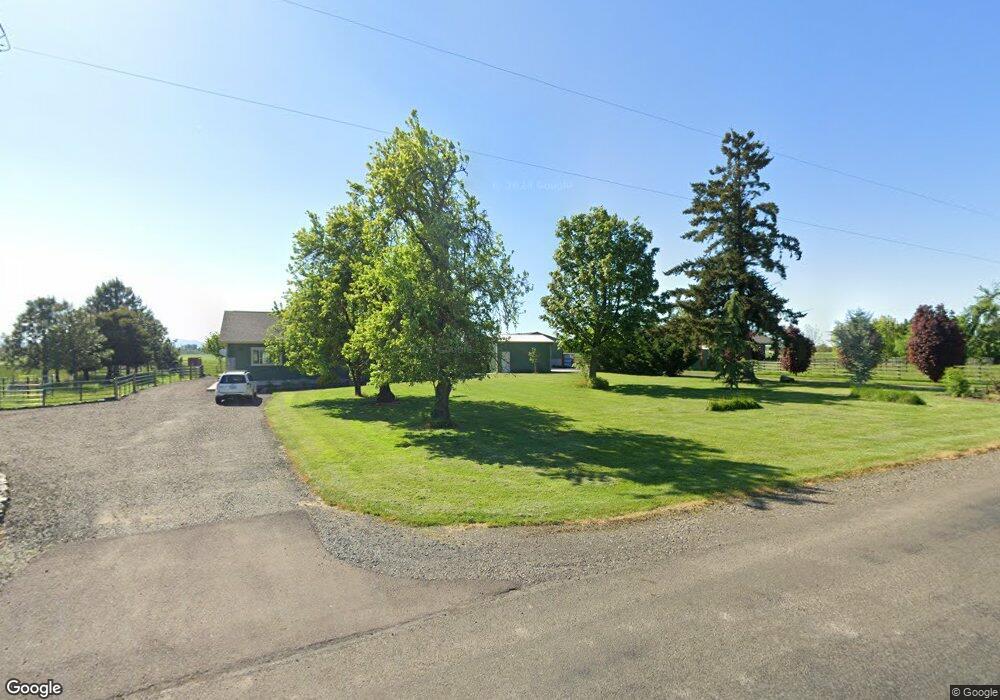
31920 Wirth Rd Tangent, OR 97389
Estimated Value: $1,059,343
2
Beds
3
Baths
1,575
Sq Ft
$673/Sq Ft
Est. Value
About This Home
This home is located at 31920 Wirth Rd, Tangent, OR 97389 and is currently estimated at $1,059,343, approximately $672 per square foot. 31920 Wirth Rd is a home located in Linn County with nearby schools including Central Linn Elementary School and Central Linn High School.
Ownership History
Date
Name
Owned For
Owner Type
Purchase Details
Closed on
Dec 22, 2016
Sold by
Cala Farms Inc
Bought by
Kropf Nathan L and Kropf Leisa J
Current Estimated Value
Purchase Details
Closed on
Sep 6, 2013
Sold by
Vanderstelt Gary and Vanderstelt Mari
Bought by
Cala Farms Inc
Purchase Details
Closed on
Apr 27, 2005
Sold by
Cala Farms Inc
Bought by
Vanderstelt Gary and Vanderstelt Mari
Home Financials for this Owner
Home Financials are based on the most recent Mortgage that was taken out on this home.
Original Mortgage
$220,000
Interest Rate
5.92%
Mortgage Type
Seller Take Back
Purchase Details
Closed on
Apr 15, 2005
Sold by
Ropp J Lew
Bought by
Cala Farms Inc
Home Financials for this Owner
Home Financials are based on the most recent Mortgage that was taken out on this home.
Original Mortgage
$220,000
Interest Rate
5.92%
Mortgage Type
Seller Take Back
Create a Home Valuation Report for This Property
The Home Valuation Report is an in-depth analysis detailing your home's value as well as a comparison with similar homes in the area
Home Values in the Area
Average Home Value in this Area
Purchase History
| Date | Buyer | Sale Price | Title Company |
|---|---|---|---|
| Kropf Nathan L | $200,000 | First American | |
| Cala Farms Inc | $207,607 | None Available | |
| Vanderstelt Gary | $240,000 | Amerititle | |
| Cala Farms Inc | -- | Amerititle |
Source: Public Records
Mortgage History
| Date | Status | Borrower | Loan Amount |
|---|---|---|---|
| Previous Owner | Vanderstelt Gary | $220,000 |
Source: Public Records
Tax History Compared to Growth
Tax History
| Year | Tax Paid | Tax Assessment Tax Assessment Total Assessment is a certain percentage of the fair market value that is determined by local assessors to be the total taxable value of land and additions on the property. | Land | Improvement |
|---|---|---|---|---|
| 2025 | $5,427 | $495,228 | -- | -- |
| 2024 | $5,270 | $480,805 | -- | -- |
| 2023 | $5,115 | $466,806 | $0 | $0 |
| 2022 | $4,969 | $453,211 | $0 | $0 |
| 2021 | $4,787 | $445,211 | $0 | $0 |
| 2020 | $3,554 | $327,037 | $0 | $0 |
| 2019 | $3,476 | $317,519 | $0 | $0 |
| 2018 | $2,907 | $265,515 | $0 | $0 |
| 2017 | $1,336 | $121,981 | $0 | $0 |
| 2016 | $2,037 | $185,941 | $0 | $0 |
| 2015 | $1,961 | $180,527 | $0 | $0 |
| 2014 | $1,917 | $175,275 | $0 | $0 |
Source: Public Records
Map
Nearby Homes
- 32300 Old Oak Dr
- 32072 Birdfoot Dr
- 31922 Meadowlark Loop
- 31843 Meadowlark Loop
- 31919 N Lake Creek (Unit 35 ) Dr
- 33270 Highway 99e
- 32320 Oregon 34
- 33745 Mcfarland Rd
- 30045 Highway 99e
- 31575 Sand Ridge Rd
- 1132 Ellingson Rd
- 1252 Ellingson Rd SE
- 1132 Ellingson Rd SE
- 312 Rd SE
- 6335 Rebecca St SE
- Helena Plan at Curry Meadows
- Auburn Plan at Curry Meadows
- Casey Plan at Curry Meadows
- Ashland Plan at Henshaw Farm
- Blairmont Plan at Henshaw Farm