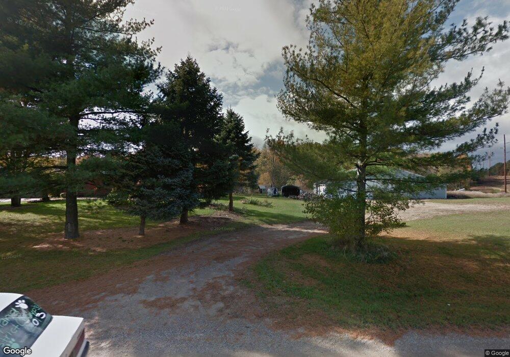
3194 4th St Wayland, MI 49348
Estimated Value: $545,000 - $712,654
2
Beds
3
Baths
1,832
Sq Ft
$337/Sq Ft
Est. Value
About This Home
This home is located at 3194 4th St, Wayland, MI 49348 and is currently estimated at $617,885, approximately $337 per square foot. 3194 4th St is a home with nearby schools including Wayland High School.
Ownership History
Date
Name
Owned For
Owner Type
Purchase Details
Closed on
Jan 24, 2013
Sold by
Firlik Linda L
Bought by
Schiefla Kevin and Schiefla Keyre
Current Estimated Value
Home Financials for this Owner
Home Financials are based on the most recent Mortgage that was taken out on this home.
Original Mortgage
$260,000
Outstanding Balance
$187,522
Interest Rate
4.11%
Mortgage Type
Construction
Estimated Equity
$430,363
Purchase Details
Closed on
Aug 24, 2009
Sold by
Firlik Linda and Firlik Linda L
Bought by
The Linda L Firlik Trust and Firlik Linda L
Create a Home Valuation Report for This Property
The Home Valuation Report is an in-depth analysis detailing your home's value as well as a comparison with similar homes in the area
Home Values in the Area
Average Home Value in this Area
Purchase History
| Date | Buyer | Sale Price | Title Company |
|---|---|---|---|
| Schiefla Kevin | $170,000 | Midstate Title Agency Llc | |
| The Linda L Firlik Trust | -- | None Available |
Source: Public Records
Mortgage History
| Date | Status | Borrower | Loan Amount |
|---|---|---|---|
| Open | Schiefla Kevin | $260,000 |
Source: Public Records
Tax History Compared to Growth
Tax History
| Year | Tax Paid | Tax Assessment Tax Assessment Total Assessment is a certain percentage of the fair market value that is determined by local assessors to be the total taxable value of land and additions on the property. | Land | Improvement |
|---|---|---|---|---|
| 2025 | $4,564 | $342,100 | $76,500 | $265,600 |
| 2024 | $3,982 | $330,300 | $61,200 | $269,100 |
| 2023 | $4,091 | $296,100 | $49,000 | $247,100 |
| 2022 | $3,982 | $292,700 | $54,300 | $238,400 |
| 2021 | $3,779 | $277,100 | $54,300 | $222,800 |
| 2020 | $3,718 | $282,900 | $52,000 | $230,900 |
| 2019 | $3,576 | $224,000 | $52,000 | $172,000 |
| 2018 | $1,870 | $187,400 | $51,300 | $136,100 |
| 2017 | $0 | $181,600 | $45,900 | $135,700 |
| 2016 | $0 | $166,400 | $47,400 | $119,000 |
| 2015 | -- | $166,400 | $47,400 | $119,000 |
| 2014 | -- | $144,200 | $37,100 | $107,100 |
| 2013 | -- | $78,600 | $77,000 | $1,600 |
Source: Public Records
Map
Nearby Homes
- 516 131st Ave
- 3214 7th St
- 590 129th Ave
- 12720 S Grey Ct
- 2841 Odawa Trail
- 12857 Michael Dr Unit 49
- 3296 Stonehill Ct
- 1164 E Bernie Ct
- 3282 Stonehill Ct
- 1391 Shadowridge Dr
- 843 Wild Flower Ct
- 835 Wild Flower Ct
- 2724 Pasture Ln
- 330 Lotz Ct
- 12169 Pine Meadows Dr
- 619 137th Ave
- 12031 Sandstone Dr
- 401 Anderson Dr
- 1736 Parker Dr
- 35 Cannonball Ln