Estimated Value: $172,000 - $177,000
3
Beds
1
Bath
960
Sq Ft
$183/Sq Ft
Est. Value
About This Home
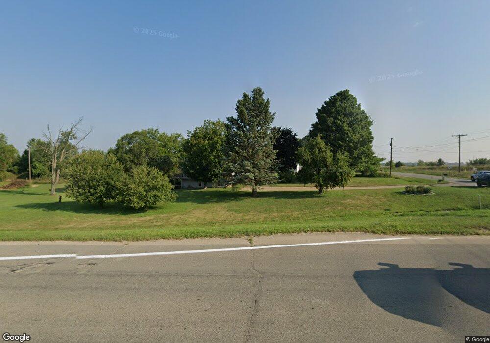
This home is located at 3195 W Us Highway 12, Niles, MI 49120 and is currently estimated at $175,406, approximately $182 per square foot. 3195 W Us Highway 12 is a home located in Berrien County with nearby schools including Ottawa Elementary School, Moccasin Elementary School, and Buchanan Middle School.
Ownership History
Date
Name
Owned For
Owner Type
Purchase Details
Closed on
Jul 8, 2006
Sold by
Allen Joyceann
Bought by
Mccarver Marilyn
Current Estimated Value
Home Financials for this Owner
Home Financials are based on the most recent Mortgage that was taken out on this home.
Original Mortgage
$57,750
Outstanding Balance
$39,251
Interest Rate
9.45%
Mortgage Type
Purchase Money Mortgage
Estimated Equity
$136,155
Purchase Details
Closed on
Nov 21, 2000
Purchase Details
Closed on
Sep 25, 1978
Create a Home Valuation Report for This Property
The Home Valuation Report is an in-depth analysis detailing your home's value as well as a comparison with similar homes in the area
Home Values in the Area
Average Home Value in this Area
Purchase History
| Date | Buyer | Sale Price | Title Company |
|---|---|---|---|
| Mccarver Marilyn | $77,000 | None Available | |
| -- | -- | -- | |
| -- | $38,900 | -- |
Source: Public Records
Mortgage History
| Date | Status | Borrower | Loan Amount |
|---|---|---|---|
| Open | Mccarver Marilyn | $57,750 |
Source: Public Records
Tax History Compared to Growth
Tax History
| Year | Tax Paid | Tax Assessment Tax Assessment Total Assessment is a certain percentage of the fair market value that is determined by local assessors to be the total taxable value of land and additions on the property. | Land | Improvement |
|---|---|---|---|---|
| 2025 | $937 | $67,200 | $0 | $0 |
| 2024 | $523 | $58,900 | $0 | $0 |
| 2023 | $498 | $49,800 | $0 | $0 |
| 2022 | $474 | $43,600 | $0 | $0 |
| 2021 | $873 | $42,200 | $13,500 | $28,700 |
| 2020 | $862 | $42,500 | $0 | $0 |
| 2019 | $846 | $33,800 | $10,900 | $22,900 |
| 2018 | $840 | $33,800 | $0 | $0 |
| 2017 | $823 | $33,900 | $0 | $0 |
| 2016 | $818 | $36,400 | $0 | $0 |
| 2015 | $818 | $32,500 | $0 | $0 |
| 2014 | $342 | $32,200 | $0 | $0 |
Source: Public Records
Map
Nearby Homes
- 4844 Ontario
- 3660 Buffalo Rd
- 802 Carrol St
- 301 Woodland
- 4047 Wildon Ct
- Track 4 W Us 12 Hwy Trail
- 1675 Mallard Dr
- 3017 Niles Buchanan Rd
- 302 Sylvan St
- 118 Schirmer Pkwy
- 404 S Red Bud Trail
- 4832 Woodside Dr
- 501 S Oak St
- 201 S Oak St
- 2160 Portage Rd
- 113 W Chicago St
- 103 W Smith St
- 313 N Red Bud Trail
- 3004 White Oaks Ln
- 106 Lake St
- 3195 W Us Highway 12
- 3215 U S 12
- 3135 W Us Highway 12
- 3160 W Us Highway 12
- 3135 Us 12 W
- 3120 W Us Highway 12
- 3110 W Us Highway 12
- 3070 W Us Highway 12
- 3340 W Us Highway 12
- 3205 Buffalo Rd
- 3105 Buffalo Rd
- 3305 Buffalo Rd
- 3243 Chamberlain Rd
- 3075 Buffalo Rd
- 0 Chamberlain Rd Unit 69023032417
- 0 Chamberlain Rd Unit 23032417
- 0 Chamberlain Rd Unit 69020012687
- 0 Chamberlain Rd Unit M16019382
- 0 Chamberlain Rd Unit M20012687
- 0 Chamberlain Rd Unit 69013058660