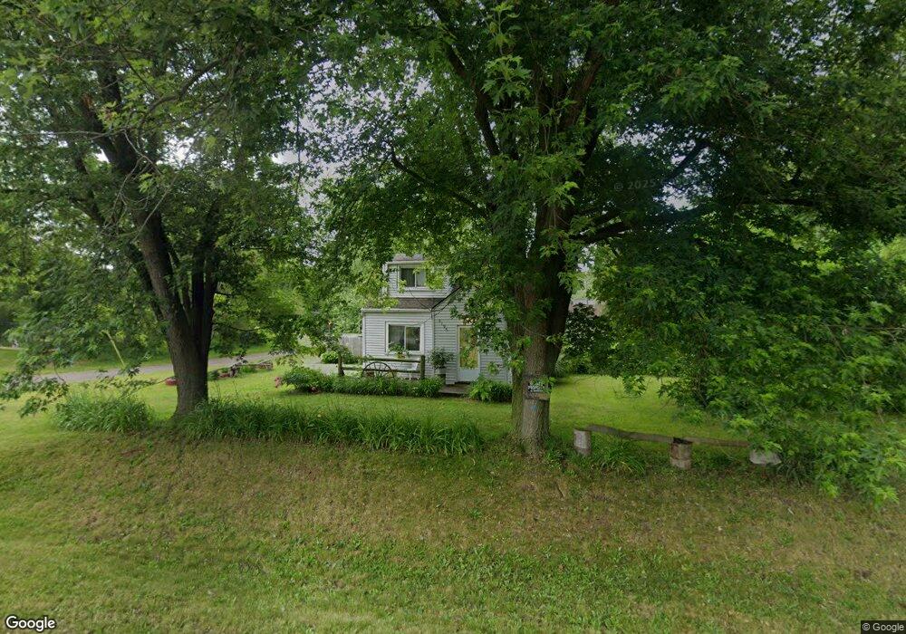
3196 Branch Rd Flint, MI 48506
Northeast Flint NeighborhoodEstimated Value: $62,000 - $86,000
2
Beds
1
Bath
853
Sq Ft
$84/Sq Ft
Est. Value
About This Home
This home is located at 3196 Branch Rd, Flint, MI 48506 and is currently estimated at $71,981, approximately $84 per square foot. 3196 Branch Rd is a home located in Genesee County with nearby schools including Weston Elementary School, Kate Dowdall Elementary School, and Leota Fiedler Elementary School.
Ownership History
Date
Name
Owned For
Owner Type
Purchase Details
Closed on
Jul 8, 2013
Sold by
Osborne David G
Bought by
Osborne Lonnie and Osborne Mable
Current Estimated Value
Purchase Details
Closed on
Sep 23, 2009
Sold by
Donovan Shaun and Secretary Of Housing & Urban D
Bought by
Osborne David
Purchase Details
Closed on
Dec 2, 2008
Sold by
Wells Fargo Bank Na
Bought by
The Secretary Of Housing & Urban Develop
Purchase Details
Closed on
May 28, 2008
Sold by
Beudoin David
Bought by
Wells Fargo Bank Na
Purchase Details
Closed on
May 4, 2004
Sold by
Ward Harry S
Bought by
Beaudoin David
Home Financials for this Owner
Home Financials are based on the most recent Mortgage that was taken out on this home.
Original Mortgage
$62,505
Interest Rate
5.5%
Mortgage Type
FHA
Purchase Details
Closed on
Jan 31, 2000
Sold by
Ward Harry E and Ward Judith A
Bought by
Ward Harry S
Create a Home Valuation Report for This Property
The Home Valuation Report is an in-depth analysis detailing your home's value as well as a comparison with similar homes in the area
Home Values in the Area
Average Home Value in this Area
Purchase History
| Date | Buyer | Sale Price | Title Company |
|---|---|---|---|
| Osborne Lonnie | -- | None Available | |
| Osborne David | $6,500 | None Available | |
| The Secretary Of Housing & Urban Develop | -- | None Available | |
| Wells Fargo Bank Na | $66,538 | None Available | |
| Beaudoin David | $63,000 | Lawyers Title | |
| Ward Harry S | -- | -- |
Source: Public Records
Mortgage History
| Date | Status | Borrower | Loan Amount |
|---|---|---|---|
| Previous Owner | Beaudoin David | $62,505 |
Source: Public Records
Tax History
| Year | Tax Paid | Tax Assessment Tax Assessment Total Assessment is a certain percentage of the fair market value that is determined by local assessors to be the total taxable value of land and additions on the property. | Land | Improvement |
|---|---|---|---|---|
| 2025 | $1,544 | $33,700 | $0 | $0 |
| 2024 | $249 | $33,500 | $0 | $0 |
| 2023 | $237 | $30,200 | $0 | $0 |
| 2022 | $1,280 | $24,500 | $0 | $0 |
| 2021 | $1,274 | $22,000 | $0 | $0 |
| 2020 | $217 | $20,100 | $0 | $0 |
| 2019 | $214 | $18,400 | $0 | $0 |
| 2018 | $806 | $19,400 | $0 | $0 |
| 2017 | $1,142 | $19,500 | $0 | $0 |
| 2016 | $1,409 | $19,400 | $0 | $0 |
| 2015 | $944 | $18,800 | $0 | $0 |
| 2014 | $206 | $17,900 | $0 | $0 |
| 2012 | -- | $18,600 | $18,600 | $0 |
Source: Public Records
Map
Nearby Homes
- 2935 Richfield Rd
- 00 Richfield Rd
- 3006 Agree Ave
- 3294 Huggins Ave
- 3118 Wyoming Ave
- 3010 Wyoming Ave
- 4907 Delta Dr
- 3210 Wyoming Ave
- 3705 Aldon Ln
- 3364 E Pierson Rd
- 4808 Alpha Way
- 4923 Alpha Way
- 2825 Eaton Place
- 2727 Eaton Place
- 3018 Dakota Ave
- 3413 Dakota Ave
- 3456 E Pierson Rd
- 3314 Dakota Ave
- 3734 Craig Dr
- 2719 Branch Rd
Your Personal Tour Guide
Ask me questions while you tour the home.