3196 Smoketown Rd Lewisburg, PA 17837
East Buffalo Township NeighborhoodEstimated Value: $526,000 - $709,000
3
Beds
3
Baths
2,777
Sq Ft
$218/Sq Ft
Est. Value
About This Home
This home is located at 3196 Smoketown Rd, Lewisburg, PA 17837 and is currently estimated at $605,232, approximately $217 per square foot. 3196 Smoketown Rd is a home located in Union County with nearby schools including Kelly Elementary School, Linntown Elementary School, and Donald H. Eichhorn Middle School.
Ownership History
Date
Name
Owned For
Owner Type
Purchase Details
Closed on
Jul 8, 2025
Sold by
Thomas Patrick A and Thomas Maribeth
Bought by
Patrick A And Maribeth Thomas Living Trust and Thomas
Current Estimated Value
Purchase Details
Closed on
Jul 13, 2018
Sold by
Rodgers R L & C A L Tr
Bought by
Maribeth Thomas and Maribeth Patrick Thomas
Purchase Details
Closed on
Apr 25, 2008
Sold by
Rodgers Richard L and Rodgers Caroline A C
Bought by
Rodgers Richard L and Rodgers Caroline A C
Create a Home Valuation Report for This Property
The Home Valuation Report is an in-depth analysis detailing your home's value as well as a comparison with similar homes in the area
Home Values in the Area
Average Home Value in this Area
Purchase History
| Date | Buyer | Sale Price | Title Company |
|---|---|---|---|
| Patrick A And Maribeth Thomas Living Trust | -- | None Listed On Document | |
| Patrick A And Maribeth Thomas Living Trust | -- | None Listed On Document | |
| Maribeth Thomas | $532,900 | -- | |
| Thomas Patricik A | $532,900 | None Available | |
| Rodgers Richard L | -- | None Available |
Source: Public Records
Tax History Compared to Growth
Tax History
| Year | Tax Paid | Tax Assessment Tax Assessment Total Assessment is a certain percentage of the fair market value that is determined by local assessors to be the total taxable value of land and additions on the property. | Land | Improvement |
|---|---|---|---|---|
| 2025 | $8,089 | $275,600 | $34,200 | $241,400 |
| 2024 | $7,871 | $275,600 | $34,200 | $241,400 |
| 2023 | $7,634 | $275,600 | $34,200 | $241,400 |
| 2022 | $7,374 | $266,700 | $34,200 | $232,500 |
| 2021 | $7,406 | $266,700 | $34,200 | $232,500 |
| 2020 | $7,412 | $266,700 | $34,200 | $232,500 |
| 2019 | $74,676 | $266,700 | $34,200 | $232,500 |
| 2018 | $7,366 | $266,700 | $34,200 | $232,500 |
| 2017 | $7,366 | $266,700 | $34,200 | $232,500 |
| 2016 | $7,086 | $266,700 | $34,200 | $232,500 |
| 2015 | -- | $266,700 | $34,200 | $232,500 |
| 2014 | -- | $267,900 | $35,400 | $232,500 |
Source: Public Records
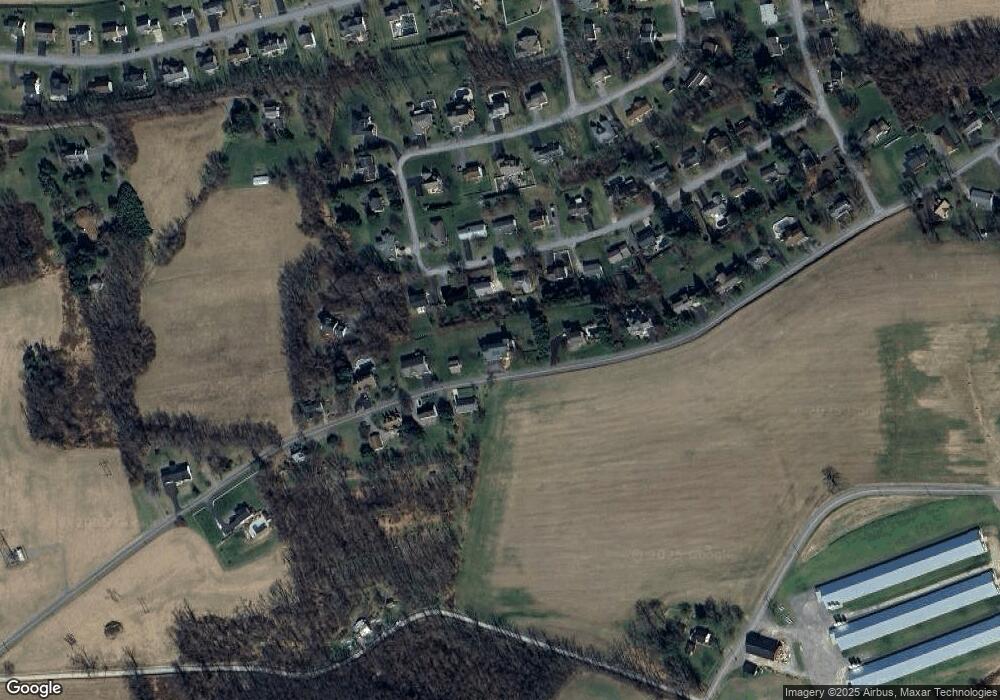
Map
Nearby Homes
- 137 Valley View Rd
- 2935 Smoketown Rd
- LOT 3 Smoketown Rd
- 55 Bel Air Dr
- 15 Primavera Cir
- 9 Westridge Ln
- 20 Bel Air Dr
- 25 Brook Dr
- 0 Bull Run Crossing
- 300 Sunnyside Dr
- 96 Dogwood Ln
- 520 S 22nd St
- 2111 Madison Ave
- 407 S 20th St
- 1500 Smoketown Rd
- 211 James Rd
- 14 Edward Cir
- 351 Pheasant Ridge Rd
- 183 Pheasant Ridge Rd
- 0 Reitz Blvd
- 215 Mountainview Rd
- 231 Mountainview Rd
- 193 Mountainview Rd
- 3223 Smoketown Rd
- 3242 Smoketown Rd
- 243 Mountain View Rd
- 3245 Smoketown Rd
- 175 Mountainview Rd
- 3156 Smoketown Rd
- 196 Mountain View Rd
- 216 Mountainview Rd
- 18 Walnut Rd
- 157 Mountainview Rd
- 196 Mountainview Rd
- 3267 Smoketown Rd
- 3276 Smoketown Rd
- 23 Walnut Rd
- 174 Mountainview Rd
- 3116 Smoketown Rd
- 137 Mountainview Rd