Estimated Value: $270,412 - $330,000
3
Beds
2
Baths
1,637
Sq Ft
$185/Sq Ft
Est. Value
About This Home
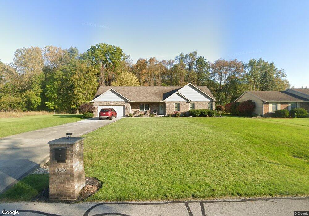
This home is located at 3196 Tawa Dr, Lima, OH 45806 and is currently estimated at $303,353, approximately $185 per square foot. 3196 Tawa Dr is a home located in Allen County with nearby schools including Elmwood Elementary School, Maplewood Elementary School, and Shawnee Middle School.
Ownership History
Date
Name
Owned For
Owner Type
Purchase Details
Closed on
Feb 2, 2011
Sold by
Peters Property Management Llc and Peters Jake W
Bought by
Pettigrew Thomas Malone
Current Estimated Value
Purchase Details
Closed on
Jun 9, 2010
Sold by
The Citizens National Bank Of Bluffton
Bought by
Peters Property Management Llc
Purchase Details
Closed on
Sep 30, 2009
Sold by
Monday Howard L and Monday Kimberly A
Bought by
The Citizens National Bank Of Bluffton
Purchase Details
Closed on
Mar 25, 2005
Sold by
White Stephen E and White Warren R
Bought by
Monday Howard L and Monday Kimberly A
Home Financials for this Owner
Home Financials are based on the most recent Mortgage that was taken out on this home.
Original Mortgage
$18,750
Interest Rate
5.61%
Mortgage Type
Purchase Money Mortgage
Purchase Details
Closed on
Dec 1, 1977
Bought by
White Warren R
Create a Home Valuation Report for This Property
The Home Valuation Report is an in-depth analysis detailing your home's value as well as a comparison with similar homes in the area
Home Values in the Area
Average Home Value in this Area
Purchase History
| Date | Buyer | Sale Price | Title Company |
|---|---|---|---|
| Pettigrew Thomas Malone | $155,000 | None Available | |
| Peters Property Management Llc | $8,000 | Attorney | |
| The Citizens National Bank Of Bluffton | $12,000 | None Available | |
| Monday Howard L | $25,000 | None Available | |
| White Warren R | -- | -- |
Source: Public Records
Mortgage History
| Date | Status | Borrower | Loan Amount |
|---|---|---|---|
| Previous Owner | Monday Howard L | $18,750 |
Source: Public Records
Tax History Compared to Growth
Tax History
| Year | Tax Paid | Tax Assessment Tax Assessment Total Assessment is a certain percentage of the fair market value that is determined by local assessors to be the total taxable value of land and additions on the property. | Land | Improvement |
|---|---|---|---|---|
| 2024 | $3,866 | $89,010 | $17,850 | $71,160 |
| 2023 | $2,916 | $61,810 | $12,390 | $49,420 |
| 2022 | $2,956 | $61,810 | $12,390 | $49,420 |
| 2021 | $2,969 | $61,810 | $12,390 | $49,420 |
| 2020 | $2,388 | $58,170 | $12,460 | $45,710 |
| 2019 | $2,388 | $58,170 | $12,460 | $45,710 |
| 2018 | $2,241 | $58,170 | $12,460 | $45,710 |
| 2017 | $2,084 | $50,540 | $12,460 | $38,080 |
| 2016 | $2,064 | $50,540 | $12,460 | $38,080 |
| 2015 | $2,293 | $50,540 | $12,460 | $38,080 |
| 2014 | $2,293 | $45,990 | $12,320 | $33,670 |
| 2013 | $2,249 | $45,990 | $12,320 | $33,670 |
Source: Public Records
Map
Nearby Homes
- 2227 Seneca Dr
- 2632 Alexandria Dr
- 2975 Zurmehly Rd
- 0 Zurmehly Rd
- 2050 Sandy Ln
- 2852 Riverwalk Blvd Unit 2852
- 3031 Yoakam Rd
- 3220 Fort Amanda Rd
- 3372 Weldon Dr
- 3346 Weldon Dr
- 3332 Weldon Dr
- 3320 Weldon Dr
- 3398 Weldon Dr
- 3358 Weldon Dr
- 3386 Weldon Dr
- 3375 Weldon Dr
- 3349 Weldon Dr
- 3337 Weldon Dr
- 3323 Weldon Dr
- 3363 Weldon Dr