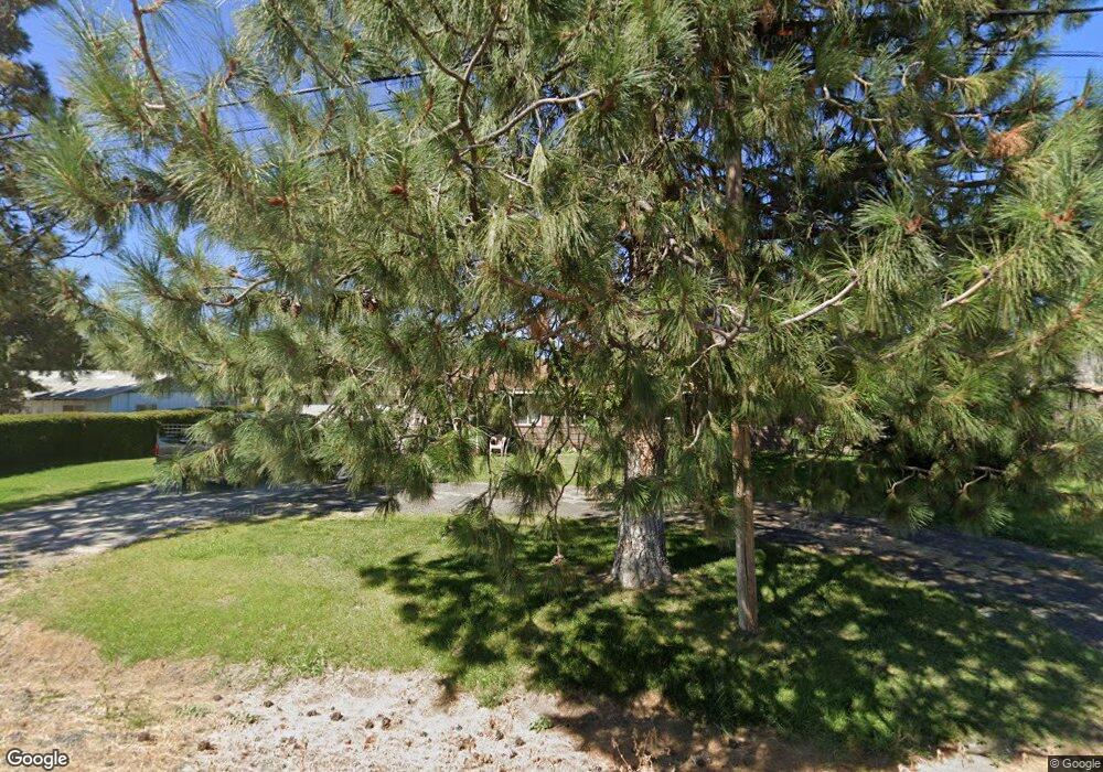
Estimated Value: $212,000 - $304,399
3
Beds
2
Baths
1,836
Sq Ft
$141/Sq Ft
Est. Value
About This Home
This home is located at 31967 Highway 50, Malin, OR 97632 and is currently estimated at $258,200, approximately $140 per square foot. 31967 Highway 50 is a home located in Klamath County with nearby schools including Malin Elementary School and Lost River High School.
Ownership History
Date
Name
Owned For
Owner Type
Purchase Details
Closed on
Jun 14, 2011
Sold by
The Secretary Of Housing & Urban Develop
Bought by
Santillie Jerald L and Santillie Judith M
Current Estimated Value
Purchase Details
Closed on
Mar 25, 2010
Sold by
Clement Craig D
Bought by
Wells Fargo Bank Na
Purchase Details
Closed on
Nov 29, 2007
Sold by
Clement Craig
Bought by
Clement Craig D
Home Financials for this Owner
Home Financials are based on the most recent Mortgage that was taken out on this home.
Original Mortgage
$171,027
Interest Rate
6.3%
Mortgage Type
FHA
Create a Home Valuation Report for This Property
The Home Valuation Report is an in-depth analysis detailing your home's value as well as a comparison with similar homes in the area
Home Values in the Area
Average Home Value in this Area
Purchase History
| Date | Buyer | Sale Price | Title Company |
|---|---|---|---|
| Santillie Jerald L | $72,600 | Fidelity Natl Title Co Of Or | |
| Wells Fargo Bank Na | $186,596 | None Available | |
| Clement Craig D | -- | Mtc |
Source: Public Records
Mortgage History
| Date | Status | Borrower | Loan Amount |
|---|---|---|---|
| Previous Owner | Clement Craig D | $171,027 |
Source: Public Records
Tax History Compared to Growth
Tax History
| Year | Tax Paid | Tax Assessment Tax Assessment Total Assessment is a certain percentage of the fair market value that is determined by local assessors to be the total taxable value of land and additions on the property. | Land | Improvement |
|---|---|---|---|---|
| 2024 | $1,463 | $146,530 | -- | -- |
| 2023 | $1,405 | $146,530 | $0 | $0 |
| 2022 | $1,368 | $138,130 | $0 | $0 |
| 2021 | $1,107 | $112,170 | $0 | $0 |
| 2020 | $1,105 | $112,170 | $0 | $0 |
| 2019 | $1,333 | $134,930 | $0 | $0 |
| 2018 | $1,294 | $131,000 | $0 | $0 |
| 2017 | $1,261 | $127,190 | $0 | $0 |
| 2016 | $1,228 | $123,490 | $0 | $0 |
| 2015 | $1,188 | $119,900 | $0 | $0 |
| 2014 | $1,130 | $116,410 | $0 | $0 |
| 2013 | -- | $113,020 | $0 | $0 |
Source: Public Records
Map
Nearby Homes
- 2806 Front St
- 0 Harpold Rd Unit 627398 220197026
- 2545 Main St
- 2236 3rd St
- 2108 Rosicky Ave
- 3020 Clearbrook Place
- 3037 Clearbrook Place
- 2130 E-Z St
- 1731 County Road 106 Unit 1
- 1731 County Road 106
- 19019 Drazil Rd
- 2567 County Road 106
- 17550 Maupin Rd
- 28281 Pickett Rd
- 127 Siskiyou St
- 332 First St
- 563 4th St Unit A
- 725 Modoc Ave
- 22990 Highway 50
- 0 Dodds Hollow Rd Unit 895073 220200218
- 31933 Highway 50
- 31911 Highway 50
- 31825 Highway 50
- 31807 Highway 50
- 32053 Highway 50
- 2102 7th St
- 2116 7th St
- 32121 Highway 50
- 2740 Front St
- 2308 7th St
- 2003 7th St
- 2125 7th St
- 2637 Rosicky Ave
- 2632 Rosicky Ave
- 2630 Railroad Ave
- 2400 7th St
- 2629 Rosicky Ave
- 2628 Railroad Ave
- 2414 7th St
- 2646 Railroad Ave
