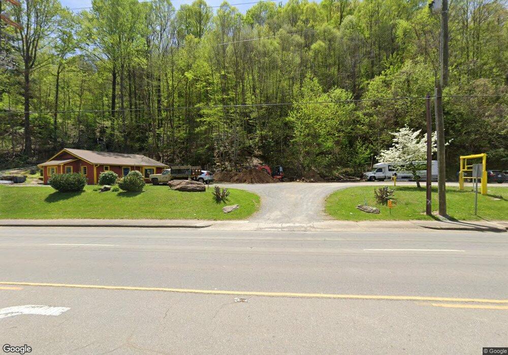
3197 Soco Rd Maggie Valley, NC 28751
Estimated Value: $399,371 - $533,000
--
Bed
--
Bath
1,142
Sq Ft
$388/Sq Ft
Est. Value
About This Home
This home is located at 3197 Soco Rd, Maggie Valley, NC 28751 and is currently estimated at $443,093, approximately $387 per square foot. 3197 Soco Rd is a home with nearby schools including Jonathan Valley Elementary School, Waynesville Middle, and Tuscola High.
Ownership History
Date
Name
Owned For
Owner Type
Purchase Details
Closed on
May 17, 2023
Sold by
Karppinen Urpo
Bought by
Hamilton Balthrope 1922 Llc
Current Estimated Value
Home Financials for this Owner
Home Financials are based on the most recent Mortgage that was taken out on this home.
Original Mortgage
$300,000
Outstanding Balance
$291,474
Interest Rate
6.27%
Mortgage Type
Seller Take Back
Estimated Equity
$151,619
Purchase Details
Closed on
Nov 8, 2006
Sold by
Heyer Susan A
Bought by
Crawford Curtis C
Home Financials for this Owner
Home Financials are based on the most recent Mortgage that was taken out on this home.
Original Mortgage
$65,000
Interest Rate
6.27%
Mortgage Type
Purchase Money Mortgage
Purchase Details
Closed on
Jan 30, 1991
Bought by
Karppinen Urpo
Create a Home Valuation Report for This Property
The Home Valuation Report is an in-depth analysis detailing your home's value as well as a comparison with similar homes in the area
Home Values in the Area
Average Home Value in this Area
Purchase History
| Date | Buyer | Sale Price | Title Company |
|---|---|---|---|
| Hamilton Balthrope 1922 Llc | $175,000,000 | None Listed On Document | |
| Crawford Curtis C | $72,500 | None Available | |
| Karppinen Urpo | $75,000 | -- |
Source: Public Records
Mortgage History
| Date | Status | Borrower | Loan Amount |
|---|---|---|---|
| Open | Hamilton Balthrope 1922 Llc | $300,000 | |
| Previous Owner | Crawford Curtis C | $65,000 |
Source: Public Records
Tax History Compared to Growth
Tax History
| Year | Tax Paid | Tax Assessment Tax Assessment Total Assessment is a certain percentage of the fair market value that is determined by local assessors to be the total taxable value of land and additions on the property. | Land | Improvement |
|---|---|---|---|---|
| 2025 | -- | $343,700 | $255,000 | $88,700 |
| 2024 | $2,165 | $343,700 | $255,000 | $88,700 |
| 2023 | $1,625 | $257,900 | $191,300 | $66,600 |
| 2022 | $1,535 | $257,900 | $191,300 | $66,600 |
| 2021 | $1,535 | $257,900 | $191,300 | $66,600 |
| 2020 | $1,545 | $239,500 | $191,300 | $48,200 |
| 2019 | $1,545 | $239,500 | $191,300 | $48,200 |
| 2018 | $1,819 | $239,500 | $191,300 | $48,200 |
| 2017 | $1,545 | $239,500 | $0 | $0 |
| 2016 | $1,819 | $290,500 | $0 | $0 |
| 2015 | $1,819 | $290,500 | $0 | $0 |
| 2014 | $1,747 | $290,500 | $0 | $0 |
Source: Public Records
Map
Nearby Homes
- 94 Market St
- 40 Meadows Ln
- 5 Gibson Dr
- 58 Kings Ridge Rd Unit 58
- 282 Friar Tuck Ln
- 19 Reuben Branch Rd
- 125 Timberline Dr
- 5 Friar Tuck Ln Unit 5
- 95 Robin Hood Ln
- 38 Robin Hood Ln
- 41 Balsam Shadows Rd
- 531 Nottingham Rd
- 60 Leisure Ln
- 309 Nottingham Rd
- Lot 42 Twinbrook Ln
- 7 Higel Ln
- 31 Poplar Ln
- Lot C31 Shady Ln
- 593 Twinbrook Ln
- 93 Hickory Dr