3197 State Route 119 Saint Henry, OH 45883
Estimated Value: $454,950 - $580,000
3
Beds
2
Baths
1,811
Sq Ft
$282/Sq Ft
Est. Value
About This Home
This home is located at 3197 State Route 119, Saint Henry, OH 45883 and is currently estimated at $510,238, approximately $281 per square foot. 3197 State Route 119 is a home located in Mercer County with nearby schools including St. Henry Elementary School, St. Henry Middle School, and St. Henry High School.
Ownership History
Date
Name
Owned For
Owner Type
Purchase Details
Closed on
Oct 11, 2016
Sold by
Will Samuel L and Schalarman Lindsay A
Bought by
Will Samuel L and Will Lindsay A
Current Estimated Value
Purchase Details
Closed on
Nov 6, 2010
Sold by
Reier Robert Norbert and Reier Phyllis Ann
Bought by
Will Samuel L and Schlarman Lindsay A
Home Financials for this Owner
Home Financials are based on the most recent Mortgage that was taken out on this home.
Original Mortgage
$241,400
Interest Rate
4.31%
Mortgage Type
New Conventional
Create a Home Valuation Report for This Property
The Home Valuation Report is an in-depth analysis detailing your home's value as well as a comparison with similar homes in the area
Home Values in the Area
Average Home Value in this Area
Purchase History
| Date | Buyer | Sale Price | Title Company |
|---|---|---|---|
| Will Samuel L | -- | Attorney | |
| Will Samuel L | $271,400 | Attorney |
Source: Public Records
Mortgage History
| Date | Status | Borrower | Loan Amount |
|---|---|---|---|
| Previous Owner | Will Samuel L | $241,400 |
Source: Public Records
Tax History Compared to Growth
Tax History
| Year | Tax Paid | Tax Assessment Tax Assessment Total Assessment is a certain percentage of the fair market value that is determined by local assessors to be the total taxable value of land and additions on the property. | Land | Improvement |
|---|---|---|---|---|
| 2024 | $4,174 | $123,970 | $29,540 | $94,430 |
| 2023 | $4,174 | $123,970 | $29,540 | $94,430 |
| 2022 | $3,711 | $99,510 | $22,820 | $76,690 |
| 2021 | $3,780 | $99,510 | $22,820 | $76,690 |
| 2020 | $1,880 | $99,510 | $22,820 | $76,690 |
| 2019 | $3,340 | $86,800 | $20,230 | $66,570 |
| 2018 | $3,487 | $86,800 | $20,230 | $66,570 |
| 2017 | $3,416 | $86,800 | $20,230 | $66,570 |
| 2016 | $3,321 | $81,030 | $21,490 | $59,540 |
| 2015 | $3,228 | $81,030 | $21,490 | $59,540 |
| 2014 | $3,113 | $79,590 | $21,490 | $58,100 |
| 2013 | $2,997 | $73,400 | $19,710 | $53,690 |
Source: Public Records
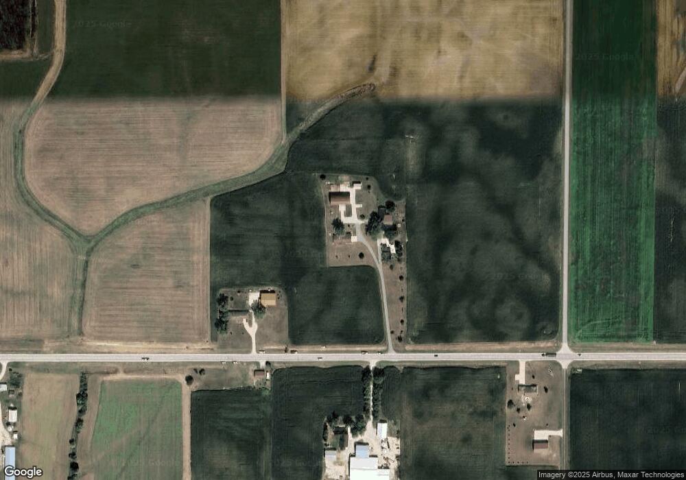
Map
Nearby Homes
- 0 Ohio 118
- 4543 Lange Rd
- 420 S 1st St
- 820 Mary Ln
- 401 N Cedar St
- 821 Butler St
- 912 Emerald Ave
- 426 E Walnut St
- 314 E North St
- 402 E Elizabeth St
- 501 N 2nd St
- 304 S Wayne St
- 201 W Wiggs St
- 721 Lilac Dr
- 207 W Butler St
- 1291 State Route 219
- 4475 Ohio 705
- 5383 U S 127
- 0 Anderson Lots 10 11 & 12 Ln Unit 1037885
- 0 Springer 1-6 & Roadway 14-16 Unit 1037883
- 3209 State Route 119
- 3155 State Route 119
- 3160 State Route 119
- 3284 State Route 119
- 3356 State Route 119
- 2640 Township Line Rd
- 3014 State Route 119
- 2760 Post Rd
- 2732 Post Rd
- 2675 Township Line Rd
- 2806 Post Rd
- 2938 State Route 119
- 2814 Post Rd
- 2918 State Route 119
- 2341 Township Line Rd
- 2258 Post Rd
- 2870 Post Rd
- 2634 Wessel Rd
- 2171 Post Rd
- 2720 Wessel Rd