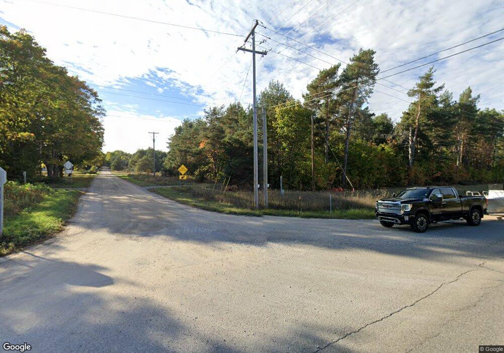
3197 Us Highway 31 Brutus, MI 49716
Estimated Value: $305,000 - $388,000
--
Bed
--
Bath
--
Sq Ft
0.45
Acres
About This Home
This home is located at 3197 Us Highway 31, Brutus, MI 49716 and is currently estimated at $343,293. 3197 Us Highway 31 is a home located in Emmet County with nearby schools including Pellston Elementary School and Pellston Middle/High School.
Ownership History
Date
Name
Owned For
Owner Type
Purchase Details
Closed on
Apr 15, 2016
Sold by
Wescoat Kathleen M
Bought by
Pelug Richard W and Pelug Jamie R
Current Estimated Value
Home Financials for this Owner
Home Financials are based on the most recent Mortgage that was taken out on this home.
Original Mortgage
$144,450
Outstanding Balance
$119,132
Interest Rate
3.73%
Mortgage Type
USDA
Estimated Equity
$224,161
Purchase Details
Closed on
Dec 6, 2007
Sold by
Court Charles W and Court Shirley M
Bought by
Court Charles W and Court Shirley M
Purchase Details
Closed on
Sep 29, 2005
Sold by
Budnik Theophilus L and Budnik Doris A
Bought by
Court Charles W and Court Shirley
Purchase Details
Closed on
Jul 24, 2003
Sold by
Budnick Charles G
Bought by
Budnik Theophilus L and Budnik Doris A
Purchase Details
Closed on
Sep 11, 1998
Sold by
Bickes Daniel E and Bickes Dixie A
Bought by
Budnick Charles G
Purchase Details
Closed on
Jul 31, 1998
Sold by
Holbert Lawrence
Bought by
Bickes Daniel and Bickes Dixie
Create a Home Valuation Report for This Property
The Home Valuation Report is an in-depth analysis detailing your home's value as well as a comparison with similar homes in the area
Home Values in the Area
Average Home Value in this Area
Purchase History
| Date | Buyer | Sale Price | Title Company |
|---|---|---|---|
| Pelug Richard W | $144,000 | Attorney | |
| Court Charles W | -- | -- | |
| Court Charles W | $16,000 | -- | |
| Budnik Theophilus L | -- | -- | |
| Budnick Charles G | $14,500 | -- | |
| Bickes Daniel | $14,500 | -- |
Source: Public Records
Mortgage History
| Date | Status | Borrower | Loan Amount |
|---|---|---|---|
| Open | Pelug Richard W | $144,450 |
Source: Public Records
Tax History Compared to Growth
Tax History
| Year | Tax Paid | Tax Assessment Tax Assessment Total Assessment is a certain percentage of the fair market value that is determined by local assessors to be the total taxable value of land and additions on the property. | Land | Improvement |
|---|---|---|---|---|
| 2025 | $1,481 | $120,100 | $120,100 | $0 |
| 2024 | $1,481 | $99,200 | $99,200 | $0 |
| 2023 | $1,394 | $87,000 | $87,000 | $0 |
| 2022 | $1,394 | $83,200 | $83,200 | $0 |
| 2021 | $1,485 | $72,700 | $72,700 | $0 |
| 2020 | $1,498 | $73,500 | $73,500 | $0 |
| 2019 | -- | $71,100 | $71,100 | $0 |
| 2018 | -- | $56,700 | $56,700 | $0 |
| 2017 | -- | $57,300 | $57,300 | $0 |
| 2016 | -- | $57,500 | $57,500 | $0 |
| 2015 | -- | $57,300 | $0 | $0 |
| 2014 | -- | $52,300 | $0 | $0 |
Source: Public Records
Map
Nearby Homes
- 3117 Jackie Ln
- 4333 U S 31
- 000 Vacant U S 31
- 6457 State St
- 6167 Lambert Dr
- 4189 N Ayr Rd
- 7181 Maple St
- 2564 E Brutus Rd
- 5441 Valley Rd
- 6421 Airport Crossing Rd Unit 1
- 7325 Keystone Park Dr Unit 18
- 0 Michigan 68 Unit 201834858
- 7328 Keystone Park Dr Unit Lot 12
- TBD Spring St
- VL Spring St
- 7486 Keystone Park Dr Unit Lot 30
- 7300 Michigan 68
- 6320 & 6332 River St
- 7726 Lake St
- 7731 Moore Rd
- 3197 S Us Highway 31
- 3231 Us Highway 31
- 3231 S Us Highway 31
- 3147 S Us 31 Hwy
- 3265 U S 31
- 3265 S Us Highway 31
- 3299 S Us Highway 31
- 3147 U S 31
- 3299 Us Highway 31
- 3147 S Us-31 Hwy
- 3299 U S 31
- 3095 S Us Highway 31
- 3299 S Us Highway 31
- 3333 S Us-31
- 3350 S Us Highway 31
- 6590 Maple River Rd
- 0 Jackie Ln
- 3115 Jackie Ln
- 3080 Jackie Ln
- Lot 9 Jackie Ln
