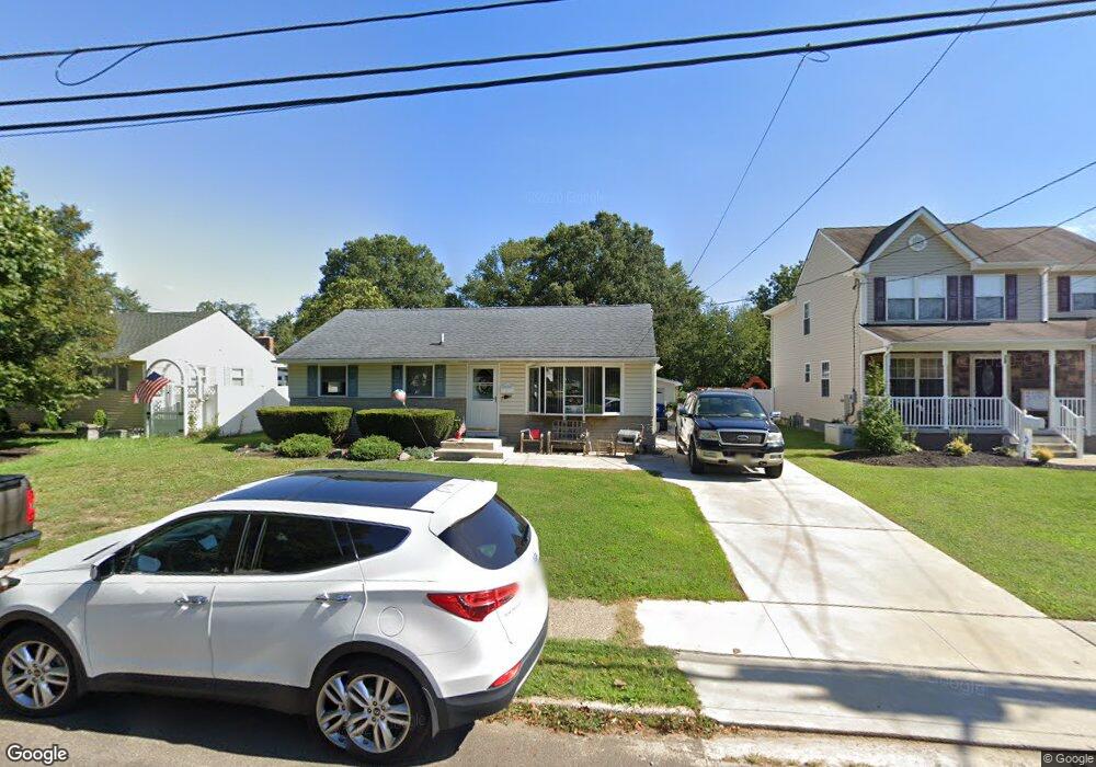
32 5th Ave Maple Shade, NJ 08052
Estimated Value: $263,000 - $320,000
Studio
--
Bath
1,504
Sq Ft
$196/Sq Ft
Est. Value
About This Home
This home is located at 32 5th Ave, Maple Shade, NJ 08052 and is currently estimated at $294,472, approximately $195 per square foot. 32 5th Ave is a home located in Burlington County with nearby schools including Ralph J Steinhauer Elementary School, Maude M. Wilkins Elementary School, and Howard R Yocum School.
Ownership History
Date
Name
Owned For
Owner Type
Purchase Details
Closed on
Apr 29, 2021
Sold by
Kirk Donald J
Bought by
Kirk Donald J and Durso Dana Marie
Current Estimated Value
Home Financials for this Owner
Home Financials are based on the most recent Mortgage that was taken out on this home.
Original Mortgage
$105,000
Interest Rate
2.9%
Mortgage Type
New Conventional
Create a Home Valuation Report for This Property
The Home Valuation Report is an in-depth analysis detailing your home's value as well as a comparison with similar homes in the area
Home Values in the Area
Average Home Value in this Area
Purchase History
| Date | Buyer | Sale Price | Title Company |
|---|---|---|---|
| Kirk Donald J | -- | Chicago Title Insurance Co | |
| Kirk Donald J | $160,000 | National Title Agency |
Source: Public Records
Mortgage History
| Date | Status | Borrower | Loan Amount |
|---|---|---|---|
| Previous Owner | Kirk Donald J | $105,000 |
Source: Public Records
Tax History
| Year | Tax Paid | Tax Assessment Tax Assessment Total Assessment is a certain percentage of the fair market value that is determined by local assessors to be the total taxable value of land and additions on the property. | Land | Improvement |
|---|---|---|---|---|
| 2025 | $7,023 | $185,000 | $56,500 | $128,500 |
| 2024 | $6,819 | $185,000 | $56,500 | $128,500 |
| 2023 | $6,819 | $185,000 | $56,500 | $128,500 |
| 2022 | $6,714 | $185,000 | $56,500 | $128,500 |
| 2021 | $6,399 | $185,000 | $56,500 | $128,500 |
| 2020 | $6,667 | $185,000 | $56,500 | $128,500 |
| 2019 | $6,423 | $185,000 | $56,500 | $128,500 |
| 2018 | $6,312 | $185,000 | $56,500 | $128,500 |
| 2017 | $5,988 | $185,000 | $56,500 | $128,500 |
| 2016 | $5,896 | $185,000 | $56,500 | $128,500 |
| 2015 | $5,763 | $185,000 | $56,500 | $128,500 |
| 2014 | $5,579 | $185,000 | $56,500 | $128,500 |
Source: Public Records
Map
Nearby Homes
- 400 N Forklanding Rd
- 27 Indian Queen Ln
- 331 Collins Ln
- 728 Haverford Ave
- 207 E Park Ave
- 411 A3 Stiles Ave Unit A-3
- 411 C12 Stiles Ave Unit C-12
- 411 A2 Stiles Ave Unit A-2
- 22 Theodore Ave
- 3444 New Jersey Ave
- 2819 Haddonfield Rd
- 8539 Bryn Mawr Ave
- 12 Overbrook Ave
- 57 S Terrace Ave
- 47 S Lippincott Ave
- 2905 Powell Ave
- 5 Exeter Place
- 42 Spruce Ave
- 61 S Maple Ave
- 9 Woodbine Ave
Your Personal Tour Guide
Ask me questions while you tour the home.