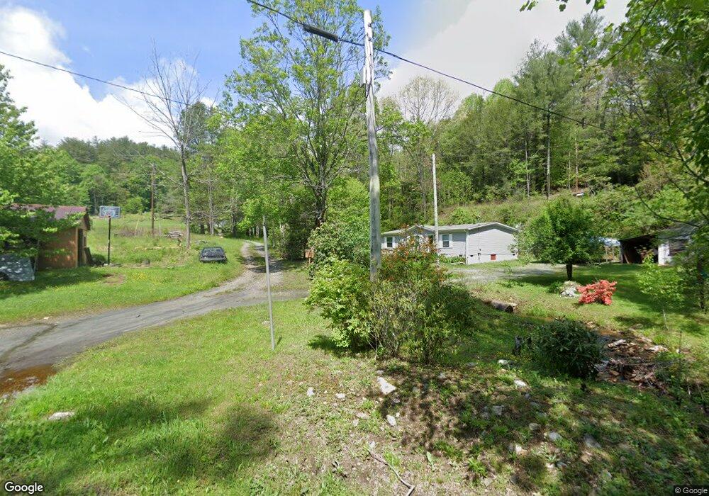
32 Allen Mountain Ln Spruce Pine, NC 28777
Estimated Value: $409,000 - $495,000
3
Beds
2
Baths
1,440
Sq Ft
$311/Sq Ft
Est. Value
About This Home
This home is located at 32 Allen Mountain Ln, Spruce Pine, NC 28777 and is currently estimated at $448,276, approximately $311 per square foot. 32 Allen Mountain Ln is a home located in Avery County with nearby schools including Riverside Elementary School, Cranberry Middle School, and Avery County High School.
Ownership History
Date
Name
Owned For
Owner Type
Purchase Details
Closed on
Dec 1, 2017
Sold by
Tichenor James T and Tichenor Holly H
Bought by
Douglass Maria and Usov Valeriy
Current Estimated Value
Home Financials for this Owner
Home Financials are based on the most recent Mortgage that was taken out on this home.
Original Mortgage
$182,750
Outstanding Balance
$152,609
Interest Rate
3.9%
Mortgage Type
New Conventional
Estimated Equity
$295,667
Create a Home Valuation Report for This Property
The Home Valuation Report is an in-depth analysis detailing your home's value as well as a comparison with similar homes in the area
Purchase History
| Date | Buyer | Sale Price | Title Company |
|---|---|---|---|
| Douglass Maria | $215,000 | None Available |
Source: Public Records
Mortgage History
| Date | Status | Borrower | Loan Amount |
|---|---|---|---|
| Open | Douglass Maria | $182,750 |
Source: Public Records
Tax History
| Year | Tax Paid | Tax Assessment Tax Assessment Total Assessment is a certain percentage of the fair market value that is determined by local assessors to be the total taxable value of land and additions on the property. | Land | Improvement |
|---|---|---|---|---|
| 2025 | $1,117 | $279,300 | $52,500 | $226,800 |
| 2024 | $1,117 | $279,300 | $52,500 | $226,800 |
| 2023 | $1,117 | $279,300 | $52,500 | $226,800 |
| 2022 | $1,117 | $279,300 | $52,500 | $226,800 |
| 2021 | $964 | $175,200 | $31,800 | $143,400 |
| 2020 | $964 | $175,200 | $31,800 | $143,400 |
| 2019 | $964 | $175,200 | $31,800 | $143,400 |
| 2018 | $964 | $175,200 | $31,800 | $143,400 |
| 2017 | $624 | $113,500 | $0 | $0 |
| 2016 | $508 | $113,500 | $0 | $0 |
| 2015 | $508 | $113,500 | $28,100 | $84,500 |
| 2012 | -- | $142,900 | $34,300 | $108,600 |
Source: Public Records
Map
Nearby Homes
- TBD Lots 1 & 2 Toe River Ln
- Lots 1 & 2 Toe River Ln
- 2701 Gouges Creek Rd
- 000 Gouges Creek Rd
- 3 Summit View Pkwy
- 7 Summit View Pkwy
- 15 Summit View Pkwy
- 27 Summit View Pkwy
- 1 Summit View Pkwy
- 30 Summit View Pkwy
- Lot 27 Summit View Pkwy
- Lot 41 Summit View Pkwy
- Lot 31 Mount Mitchell Overlook
- 0 Clear Creek Dr
- 0 Clear Creek Dr Unit 12 251762
- 0 Clear Creek Dr Unit 12 CAR4178237
- 0 Clear Creek Dr Unit 15 CAR4178231
- 0 Clear Creek Dr Unit 15 251761
- 97 Tom Sparks Rd
- 79 Creekside Ln
- 1613 Hanging Rock Rd
- 12 George Ln
- 1804 Hanging Rock Rd
- 1396 Hanging Rock Rd
- 0 Hanging Rock Rd
- 9999 Hanging Rock Rd
- 000 Hanging Rock Rd
- 1734 Hanging Rock Rd
- 1760 Hanging Rock Rd
- 1808 Hanging Rock Rd
- 70 George Ln
- 1950 Hanging Rock Rd
- 1470 Hanging Rock Rd
- 1943 Hanging Rock Rd
- 37 Allen Mountain Ln
- 130 George Ln
- 1954 Hanging Rock Rd
- 1797 Hanging Rock Rd
- 435 Allen Mountain Ln
- 160 Love Lace Ln
Your Personal Tour Guide
Ask me questions while you tour the home.