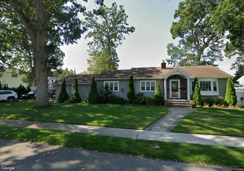
32 Anchor Ct Babylon, NY 11704
Estimated Value: $716,000 - $761,714
4
Beds
3
Baths
1,134
Sq Ft
$644/Sq Ft
Est. Value
About This Home
This home is located at 32 Anchor Ct, Babylon, NY 11704 and is currently estimated at $730,429, approximately $644 per square foot. 32 Anchor Ct is a home located in Suffolk County with nearby schools including West Babylon Senior High School.
Ownership History
Date
Name
Owned For
Owner Type
Purchase Details
Closed on
Jun 17, 2010
Sold by
Fischer Paul D and Fischer Danielle E
Bought by
Colas Joe H and Maramag Sheila R
Current Estimated Value
Home Financials for this Owner
Home Financials are based on the most recent Mortgage that was taken out on this home.
Original Mortgage
$268,000
Outstanding Balance
$178,819
Interest Rate
4.88%
Mortgage Type
Purchase Money Mortgage
Estimated Equity
$551,610
Purchase Details
Closed on
Aug 22, 2003
Sold by
Thompson Danny and Thompson Maxine
Bought by
Fischer Paul D and Fischer Danielle E
Home Financials for this Owner
Home Financials are based on the most recent Mortgage that was taken out on this home.
Original Mortgage
$261,250
Interest Rate
6.02%
Mortgage Type
Purchase Money Mortgage
Create a Home Valuation Report for This Property
The Home Valuation Report is an in-depth analysis detailing your home's value as well as a comparison with similar homes in the area
Home Values in the Area
Average Home Value in this Area
Purchase History
| Date | Buyer | Sale Price | Title Company |
|---|---|---|---|
| Colas Joe H | $335,000 | -- | |
| Fischer Paul D | $275,000 | Fidelity National Title |
Source: Public Records
Mortgage History
| Date | Status | Borrower | Loan Amount |
|---|---|---|---|
| Open | Colas Joe H | $268,000 | |
| Previous Owner | Fischer Paul D | $261,250 |
Source: Public Records
Tax History
| Year | Tax Paid | Tax Assessment Tax Assessment Total Assessment is a certain percentage of the fair market value that is determined by local assessors to be the total taxable value of land and additions on the property. | Land | Improvement |
|---|---|---|---|---|
| 2024 | $10,735 | $3,170 | $480 | $2,690 |
| 2023 | $10,735 | $3,170 | $480 | $2,690 |
| 2022 | $8,967 | $3,170 | $480 | $2,690 |
| 2021 | $8,967 | $3,170 | $480 | $2,690 |
| 2020 | $9,343 | $3,170 | $480 | $2,690 |
| 2019 | $9,343 | $0 | $0 | $0 |
| 2018 | $8,878 | $3,170 | $480 | $2,690 |
| 2017 | $8,878 | $3,170 | $480 | $2,690 |
| 2016 | $8,866 | $3,170 | $480 | $2,690 |
| 2015 | -- | $3,170 | $480 | $2,690 |
| 2014 | -- | $3,170 | $480 | $2,690 |
Source: Public Records
Map
Nearby Homes
- 248 Arnold Ave
- 204 Millard Ave Unit 204
- 234 Millard Ave Unit 234
- 49 Arnold Ave
- 45 Arnold Ave
- 6 Glenda Dr
- 154A Woodrow Pkwy
- 79 Woodrow Pkwy
- 359 Park Ave
- 792 Frankford Rd
- 104 Hawthorne Ave
- 792 Glendale Rd
- 64 Nehring Ave
- 243 Locust Ave
- 64 Nill St
- 825 Weber Ave
- 252 Locust Ave
- 115 Old Farmingdale Rd
- 104 Frederick Ave
- 37 Beachwood Dr