Estimated Value: $156,000 - $191,000
4
Beds
1
Bath
996
Sq Ft
$170/Sq Ft
Est. Value
About This Home
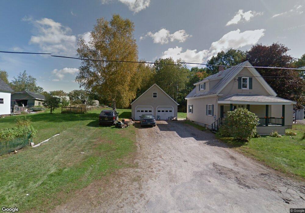
This home is located at 32 Arnold's Ln, Anson, ME 04911 and is currently estimated at $169,733, approximately $170 per square foot. 32 Arnold's Ln is a home located in Somerset County.
Ownership History
Date
Name
Owned For
Owner Type
Purchase Details
Closed on
Sep 28, 2023
Sold by
Thompson Peter F and Thompson Leimomi R
Bought by
Devillier Gerald L and Devillier Carolyn
Current Estimated Value
Purchase Details
Closed on
Mar 31, 2023
Sold by
Thompson Peter F
Bought by
Devillier Gerald L and Devillier Carolyn
Home Financials for this Owner
Home Financials are based on the most recent Mortgage that was taken out on this home.
Original Mortgage
$39,000
Interest Rate
6.32%
Mortgage Type
Purchase Money Mortgage
Purchase Details
Closed on
Feb 13, 2014
Sold by
Thompson Peter F and Thompson Leimomi R
Bought by
Lawrence Victor P and Lawrence Lorraine P
Purchase Details
Closed on
Sep 2, 2011
Sold by
Us Bank Na
Bought by
Thompson Peter F
Create a Home Valuation Report for This Property
The Home Valuation Report is an in-depth analysis detailing your home's value as well as a comparison with similar homes in the area
Home Values in the Area
Average Home Value in this Area
Purchase History
| Date | Buyer | Sale Price | Title Company |
|---|---|---|---|
| Devillier Gerald L | -- | None Available | |
| Devillier Gerald L | -- | None Available | |
| Devillier Gerald L | -- | None Available | |
| Devillier Gerald L | -- | None Available | |
| Devillier Gerald L | -- | None Available | |
| Devillier Gerald L | -- | None Available | |
| Lawrence Victor P | -- | -- | |
| Lawrence Victor P | -- | -- | |
| Lawrence Victor P | -- | -- | |
| Thompson Peter F | -- | -- | |
| Thompson Peter F | -- | -- | |
| Thompson Peter F | -- | -- |
Source: Public Records
Mortgage History
| Date | Status | Borrower | Loan Amount |
|---|---|---|---|
| Previous Owner | Devillier Gerald L | $39,000 |
Source: Public Records
Tax History
| Year | Tax Paid | Tax Assessment Tax Assessment Total Assessment is a certain percentage of the fair market value that is determined by local assessors to be the total taxable value of land and additions on the property. | Land | Improvement |
|---|---|---|---|---|
| 2025 | $1,984 | $107,360 | $18,100 | $89,260 |
| 2024 | $1,761 | $107,360 | $18,100 | $89,260 |
| 2023 | $1,534 | $80,720 | $13,610 | $67,110 |
| 2022 | $1,453 | $80,720 | $13,610 | $67,110 |
| 2021 | $1,456 | $70,190 | $11,830 | $58,360 |
| 2020 | $1,562 | $70,190 | $11,830 | $58,360 |
| 2019 | $1,544 | $70,190 | $11,830 | $58,360 |
| 2018 | $1,472 | $70,190 | $11,830 | $58,360 |
| 2017 | $1,404 | $70,190 | $11,830 | $58,360 |
| 2016 | $1,327 | $70,190 | $11,830 | $58,360 |
| 2015 | $1,404 | $70,190 | $11,830 | $58,360 |
| 2014 | $1,364 | $68,220 | $11,830 | $56,390 |
| 2013 | $1,337 | $68,220 | $11,830 | $56,390 |
Source: Public Records
Map
Nearby Homes
Your Personal Tour Guide
Ask me questions while you tour the home.