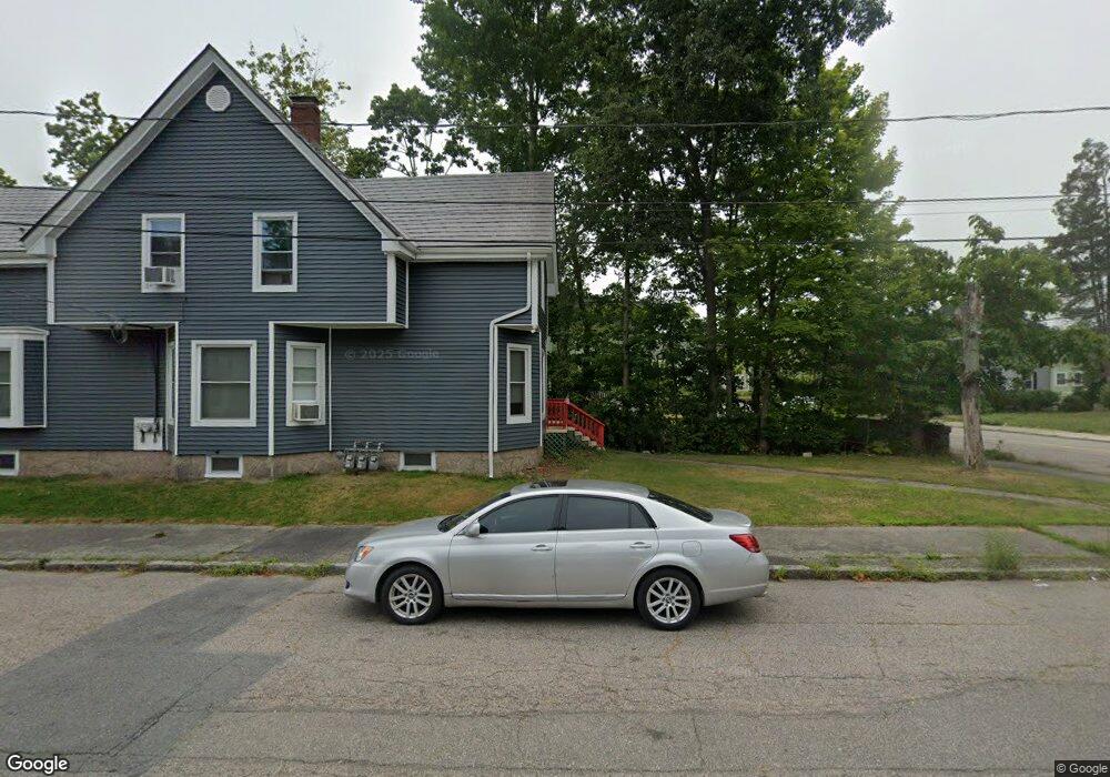
32 Ash St Brockton, MA 02301
Brockton AreaEstimated Value: $475,000 - $529,000
About This Home
This home is located at 32 Ash St, Brockton, MA 02301 and is currently estimated at $499,143, approximately $326 per square foot. 32 Ash St is a home located in Plymouth County with nearby schools including Manthala George Jr. School, Louis F Angelo Elementary School, and Raymond K-8 Elementary School.
Ownership History
We collect this data history from publicly available records. To have your information removed, we recommend requesting removal directly through your county’s website.
Purchase Details
Purchase History
We collect this data history from publicly available records. To have your information removed, we recommend requesting removal directly through your county’s website.
| Date | Buyer | Sale Price | Title Company |
|---|---|---|---|
| $135,000 | -- |
Mortgage History
We collect this data history from publicly available records. To have your information removed, we recommend requesting removal directly through your county’s website.
| Date | Status | Borrower | Loan Amount |
|---|---|---|---|
| Open | $343,500 | ||
| Closed | $344,000 | ||
| Closed | $100,000 | ||
| Closed | $200,535 | ||
| Closed | $237,500 | ||
| Closed | $222,000 | ||
| Closed | $141,216 | ||
| Closed | $133,995 |
Tax History
We collect this data history from publicly available records. To have your information removed, we recommend requesting removal directly through your county’s website.
| Year | Tax Paid | Tax Assessment Tax Assessment Total Assessment is a certain percentage of the fair market value that is determined by local assessors to be the total taxable value of land and additions on the property. | Land | Improvement |
|---|---|---|---|---|
| 2025 | $5,044 | $416,500 | $140,200 | $276,300 |
| 2024 | $4,938 | $410,800 | $140,200 | $270,600 |
| 2023 | $4,984 | $384,000 | $105,000 | $279,000 |
| 2022 | $4,734 | $338,900 | $95,400 | $243,500 |
| 2021 | $4,238 | $292,300 | $79,400 | $212,900 |
| 2020 | $4,290 | $283,200 | $74,200 | $209,000 |
| 2019 | $3,857 | $248,200 | $72,400 | $175,800 |
| 2018 | $3,755 | $233,800 | $72,400 | $161,400 |
| 2017 | $3,639 | $226,000 | $72,400 | $153,600 |
| 2016 | $3,817 | $219,900 | $70,200 | $149,700 |
| 2015 | $3,528 | $194,400 | $70,200 | $124,200 |
| 2014 | $3,388 | $186,900 | $70,200 | $116,700 |
Map
- 46 Ash St
- 53 Moraine St
- 36 Poplar Rd
- 89 Wheeler Ave
- 40 Sycamore St
- 12 N Doris Ave
- 54 Sycamore St
- 161 Moraine St
- 42 Sewell St
- 11 Montauk Rd
- 285 Green St
- 53 Colonel Bell Dr
- 109 Lenox St
- 77 Colonel Bell Dr Unit 4
- 24 N Byron Ave
- 185 Spring St
- 69 W Elm Terrace Unit 1
- 29 Auna Dr Unit 3
- 95 Prospect Terrace
- 11 Auna Dr Unit 6
Ask me questions while you tour the home.