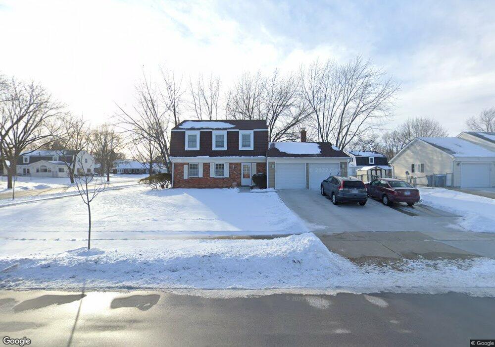
32 Aspen Dr Schaumburg, IL 60194
West Schaumburg NeighborhoodEstimated Value: $451,000 - $475,534
4
Beds
3
Baths
1,790
Sq Ft
$257/Sq Ft
Est. Value
About This Home
This home is located at 32 Aspen Dr, Schaumburg, IL 60194 and is currently estimated at $460,884, approximately $257 per square foot. 32 Aspen Dr is a home located in Cook County with nearby schools including Hoover Math And Science Academy, Helen Keller Junior High School, and Schaumburg High School.
Ownership History
Date
Name
Owned For
Owner Type
Purchase Details
Closed on
Jul 23, 1996
Sold by
Kempf Joseph and Kempf Victoria Louise
Bought by
Lewis Darren D and Lewis Eunice
Current Estimated Value
Home Financials for this Owner
Home Financials are based on the most recent Mortgage that was taken out on this home.
Original Mortgage
$150,100
Outstanding Balance
$11,036
Interest Rate
8.43%
Estimated Equity
$449,848
Create a Home Valuation Report for This Property
The Home Valuation Report is an in-depth analysis detailing your home's value as well as a comparison with similar homes in the area
Home Values in the Area
Average Home Value in this Area
Purchase History
| Date | Buyer | Sale Price | Title Company |
|---|---|---|---|
| Lewis Darren D | $158,000 | -- |
Source: Public Records
Mortgage History
| Date | Status | Borrower | Loan Amount |
|---|---|---|---|
| Open | Lewis Darren D | $150,100 |
Source: Public Records
Tax History Compared to Growth
Tax History
| Year | Tax Paid | Tax Assessment Tax Assessment Total Assessment is a certain percentage of the fair market value that is determined by local assessors to be the total taxable value of land and additions on the property. | Land | Improvement |
|---|---|---|---|---|
| 2024 | $8,595 | $34,000 | $7,980 | $26,020 |
| 2023 | $8,307 | $34,000 | $7,980 | $26,020 |
| 2022 | $8,307 | $34,000 | $7,980 | $26,020 |
| 2021 | $7,236 | $27,204 | $5,415 | $21,789 |
| 2020 | $7,179 | $27,204 | $5,415 | $21,789 |
| 2019 | $7,274 | $30,567 | $5,415 | $25,152 |
| 2018 | $7,758 | $29,284 | $4,845 | $24,439 |
| 2017 | $7,653 | $29,284 | $4,845 | $24,439 |
| 2016 | $7,399 | $29,284 | $4,845 | $24,439 |
| 2015 | $7,087 | $26,314 | $4,275 | $22,039 |
| 2014 | $7,026 | $26,314 | $4,275 | $22,039 |
| 2013 | $6,828 | $26,314 | $4,275 | $22,039 |
Source: Public Records
Map
Nearby Homes
- 100 Ellington Dr
- 124 Westover Ln
- 1336 Wakeby Ln Unit 444
- 231 Webster Ln
- 1939 Weston Ln
- 1425 Colwyn Dr
- 135 S Walnut Ln
- 413 Linsey Ave
- 454 Willington Dr
- 104 N Braintree Dr
- 227 S Walnut Ln
- 1933 Whittier Ln
- 604 N Brookdale Dr
- 508 N Walnut Ln
- 1125 Charlene Ln
- 2128 Hitching Post Ln
- 1614 Kingston Ln
- 136 Caryville Ln
- 569 N Walnut Ln
- 1901 Kingsley Dr
- 100 Aspen Dr
- 35 Dartford Ln
- 101 Dartford Ln
- 1633 Portsmouth Ln Unit 5
- 104 Aspen Dr Unit 5
- 33 Aspen Dr
- 1627 Portsmouth Ln
- 25 Dartford Ln
- 101 Aspen Dr
- 1625 Portsmouth Ln
- 110 Aspen Dr
- 105 Aspen Dr
- 19 Dartford Ln
- 1621 Portsmouth Ln
- 34 Dartford Ln
- 32 Brixham Place
- 109 Dartford Ln
- 109 Aspen Dr
- 100 Brixham Place
- 100 Dartford Ln