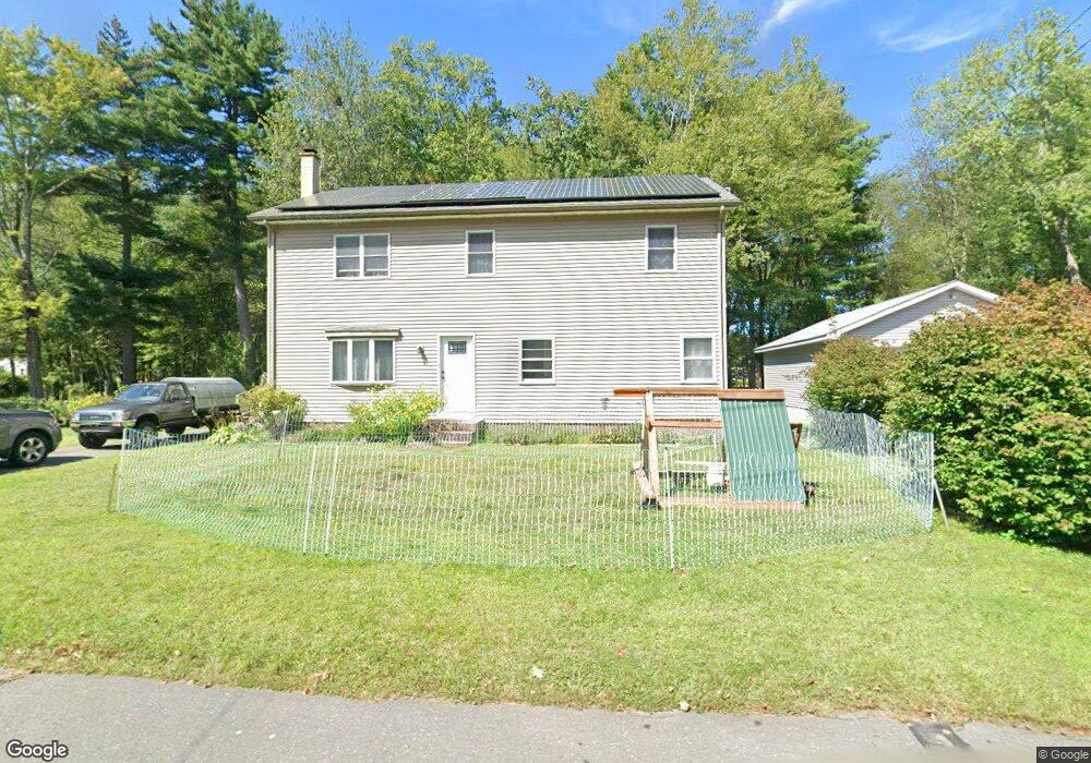
32 Austin Cir Florence, MA 01062
Florence NeighborhoodEstimated Value: $393,000 - $584,000
3
Beds
1
Bath
966
Sq Ft
$534/Sq Ft
Est. Value
About This Home
This home is located at 32 Austin Cir, Florence, MA 01062 and is currently estimated at $516,130, approximately $534 per square foot. 32 Austin Cir is a home located in Hampshire County with nearby schools including Northampton High School and Hilltown Cooperative Charter Public School.
Ownership History
Date
Name
Owned For
Owner Type
Purchase Details
Closed on
Mar 25, 2011
Sold by
Koalakoski Michael J and Kolakoski Erica L
Bought by
Kolakoski Michael J
Current Estimated Value
Home Financials for this Owner
Home Financials are based on the most recent Mortgage that was taken out on this home.
Original Mortgage
$140,000
Outstanding Balance
$97,453
Interest Rate
5.07%
Estimated Equity
$418,677
Purchase Details
Closed on
Jul 21, 2003
Sold by
Gutowski Elizabeth P and Parker Elizabeth
Bought by
Trudell Erica L and Kolakoski Michael J
Home Financials for this Owner
Home Financials are based on the most recent Mortgage that was taken out on this home.
Original Mortgage
$142,500
Interest Rate
5.34%
Mortgage Type
Purchase Money Mortgage
Create a Home Valuation Report for This Property
The Home Valuation Report is an in-depth analysis detailing your home's value as well as a comparison with similar homes in the area
Home Values in the Area
Average Home Value in this Area
Purchase History
| Date | Buyer | Sale Price | Title Company |
|---|---|---|---|
| Kolakoski Michael J | -- | -- | |
| Trudell Erica L | $151,000 | -- |
Source: Public Records
Mortgage History
| Date | Status | Borrower | Loan Amount |
|---|---|---|---|
| Open | Trudell Erica L | $140,000 | |
| Previous Owner | Trudell Erica L | $142,500 |
Source: Public Records
Tax History
| Year | Tax Paid | Tax Assessment Tax Assessment Total Assessment is a certain percentage of the fair market value that is determined by local assessors to be the total taxable value of land and additions on the property. | Land | Improvement |
|---|---|---|---|---|
| 2025 | $6,489 | $465,800 | $132,000 | $333,800 |
| 2024 | $6,091 | $401,000 | $125,800 | $275,200 |
| 2023 | $5,932 | $374,500 | $114,300 | $260,200 |
| 2022 | $5,757 | $321,800 | $107,000 | $214,800 |
| 2021 | $5,454 | $314,000 | $102,000 | $212,000 |
| 2020 | $5,393 | $321,000 | $102,000 | $219,000 |
| 2019 | $3,948 | $227,300 | $87,000 | $140,300 |
| 2018 | $3,757 | $220,500 | $87,000 | $133,500 |
| 2017 | $3,680 | $220,500 | $87,000 | $133,500 |
| 2016 | $3,563 | $220,500 | $87,000 | $133,500 |
| 2015 | $3,612 | $228,600 | $87,000 | $141,600 |
| 2014 | $2,729 | $177,300 | $87,000 | $90,300 |
Source: Public Records
Map
Nearby Homes
Your Personal Tour Guide
Ask me questions while you tour the home.