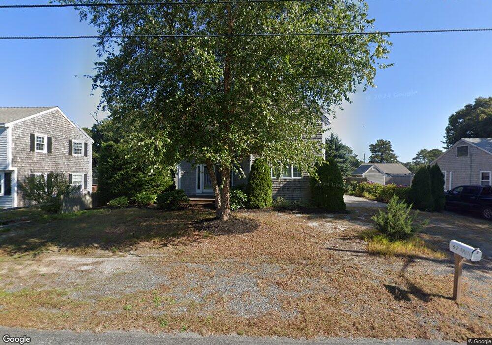
32 Bain Rd Dennis Port, MA 02639
Dennis Port NeighborhoodEstimated Value: $476,000 - $898,000
2
Beds
2
Baths
1,724
Sq Ft
$437/Sq Ft
Est. Value
About This Home
This home is located at 32 Bain Rd, Dennis Port, MA 02639 and is currently estimated at $753,625, approximately $437 per square foot. 32 Bain Rd is a home located in Barnstable County with nearby schools including Dennis-Yarmouth Regional High School and St. Pius X. School.
Ownership History
Date
Name
Owned For
Owner Type
Purchase Details
Closed on
Sep 27, 2001
Sold by
Sylvia Alfred J and Sylvia Beverly A
Bought by
Whalen Kathleen A
Current Estimated Value
Home Financials for this Owner
Home Financials are based on the most recent Mortgage that was taken out on this home.
Original Mortgage
$122,000
Outstanding Balance
$47,825
Interest Rate
6.91%
Mortgage Type
Purchase Money Mortgage
Estimated Equity
$705,800
Create a Home Valuation Report for This Property
The Home Valuation Report is an in-depth analysis detailing your home's value as well as a comparison with similar homes in the area
Home Values in the Area
Average Home Value in this Area
Purchase History
| Date | Buyer | Sale Price | Title Company |
|---|---|---|---|
| Whalen Kathleen A | $128,500 | -- |
Source: Public Records
Mortgage History
| Date | Status | Borrower | Loan Amount |
|---|---|---|---|
| Open | Whalen Kathleen A | $122,000 |
Source: Public Records
Tax History Compared to Growth
Tax History
| Year | Tax Paid | Tax Assessment Tax Assessment Total Assessment is a certain percentage of the fair market value that is determined by local assessors to be the total taxable value of land and additions on the property. | Land | Improvement |
|---|---|---|---|---|
| 2025 | $3,073 | $709,700 | $281,400 | $428,300 |
| 2024 | $3,147 | $716,900 | $270,700 | $446,200 |
| 2023 | $3,066 | $656,500 | $246,000 | $410,500 |
| 2022 | $2,821 | $503,700 | $193,900 | $309,800 |
| 2021 | $2,875 | $476,700 | $190,100 | $286,600 |
| 2020 | $2,483 | $407,000 | $190,100 | $216,900 |
| 2019 | $13,219 | $407,700 | $202,400 | $205,300 |
| 2018 | $2,366 | $373,200 | $192,700 | $180,500 |
| 2017 | $13,009 | $358,000 | $177,500 | $180,500 |
| 2016 | $2,096 | $321,000 | $167,300 | $153,700 |
| 2015 | $2,054 | $321,000 | $167,300 | $153,700 |
| 2014 | $2,042 | $321,600 | $157,200 | $164,400 |
Source: Public Records
Map
Nearby Homes
- 64 Beaten Rd
- 37 Ocean Dr Unit 2
- 112 Old Wharf Rd Unit E4
- 112 Old Wharf Rd Unit E1
- 154 Old Wharf Rd Unit 26
- 154 Old Wharf Rd Unit 14
- 120 Old Wharf Rd Unit 11
- 217 Old Wharf Rd Unit 64
- 80 Michaels Ave
- 241 Old Wharf Rd Unit 82
- 241 Old Wharf Rd Unit 127
- 241 Old Wharf Rd Unit 90
- 31 Easy St
- 262 Old Wharf Rd Unit 67
- 262 Old Wharf Rd Unit 5
- 262 Old Wharf Rd Unit 5
- 262 Old Wharf Rd Unit 20
- 262 Old Wharf Rd Unit 87
- 37 Beach Hills Rd
- 37-A Beach Hills Rd