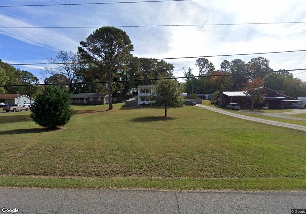
32 Baker Rd SE Unit Acres Cartersville, GA 30121
Estimated Value: $316,000 - $331,000
4
Beds
2
Baths
2,484
Sq Ft
$131/Sq Ft
Est. Value
About This Home
This home is located at 32 Baker Rd SE Unit Acres, Cartersville, GA 30121 and is currently estimated at $324,735, approximately $130 per square foot. 32 Baker Rd SE Unit Acres is a home located in Bartow County with nearby schools including Kingston Elementary School, Cass Middle School, and Cass High School.
Ownership History
Date
Name
Owned For
Owner Type
Purchase Details
Closed on
Aug 20, 2021
Sold by
Sexton Wada
Bought by
Smith Chrisman J and Sexton Leslie
Current Estimated Value
Home Financials for this Owner
Home Financials are based on the most recent Mortgage that was taken out on this home.
Original Mortgage
$254,140
Outstanding Balance
$230,392
Interest Rate
2.7%
Mortgage Type
New Conventional
Estimated Equity
$94,343
Create a Home Valuation Report for This Property
The Home Valuation Report is an in-depth analysis detailing your home's value as well as a comparison with similar homes in the area
Home Values in the Area
Average Home Value in this Area
Purchase History
| Date | Buyer | Sale Price | Title Company |
|---|---|---|---|
| Smith Chrisman J | $262,000 | -- |
Source: Public Records
Mortgage History
| Date | Status | Borrower | Loan Amount |
|---|---|---|---|
| Open | Smith Chrisman J | $254,140 |
Source: Public Records
Tax History Compared to Growth
Tax History
| Year | Tax Paid | Tax Assessment Tax Assessment Total Assessment is a certain percentage of the fair market value that is determined by local assessors to be the total taxable value of land and additions on the property. | Land | Improvement |
|---|---|---|---|---|
| 2024 | $2,547 | $104,824 | $24,000 | $80,824 |
| 2023 | $2,547 | $104,800 | $22,600 | $82,200 |
| 2022 | $2,473 | $97,405 | $18,000 | $79,405 |
| 2021 | $1,602 | $66,672 | $18,000 | $48,672 |
| 2020 | $1,573 | $62,280 | $16,000 | $46,280 |
| 2019 | $1,499 | $58,992 | $12,000 | $46,992 |
| 2018 | $1,477 | $58,022 | $12,000 | $46,022 |
| 2017 | $1,113 | $44,760 | $12,000 | $32,760 |
| 2016 | $1,122 | $44,760 | $12,000 | $32,760 |
| 2015 | $914 | $37,320 | $12,000 | $25,320 |
| 2014 | $596 | $25,400 | $4,000 | $21,400 |
| 2013 | -- | $25,120 | $4,000 | $21,120 |
Source: Public Records
Map
Nearby Homes
- 70 Baker Rd SE
- 1771 Joe Frank Harris Pkwy SE
- 261 Jordan Rd SE
- 354 Oakridge Dr SE
- 30 Amberidge Dr NW
- 11 Meadow View Cir
- 0 Joe Frank Harris Pkwy SE Unit 7284313
- 383 Oakridge Dr SE
- 0 Mac Johnson Rd NW Unit 7616934
- 217 Eva Way NE
- 46 Mac Johnson Rd NW
- 12 Franklin Dr
- 4 Shallowood Place
- 104 Amberidge Dr NW
- 24 Franklin Dr
- 109 Amberidge Dr NW
- 40 Bishop Mill Dr NW
- 32 Baker Rd SE
- 32 Baker Rd SE Unit ACRES
- 32 Baker Rd SE
- 28 Baker Rd SE
- 36 Baker Rd SE
- 0 Baker Rd SE Unit 7254784
- 0 Baker Rd SE Unit 3143902
- 0 Baker Rd SE Unit 8996651
- 0 Baker Rd SE Unit 9002939
- 0 Baker Rd SE
- 38 Baker Rd SE
- 38 Baker Rd SE
- 71 Floral Dr SE
- 30 Ansubet Dr SE
- 40 Baker Rd SE
- 42 Baker Rd SE
- 85 Floral Dr SE
- 68 Floral Dr SE
- 37 Ansubet Dr SE
- 43 Baker Rd SE