32 Bar Neck Rd Falmouth, MA 2543
Woods Hole NeighborhoodEstimated Value: $2,233,000 - $3,033,000
4
Beds
4
Baths
2,363
Sq Ft
$1,089/Sq Ft
Est. Value
About This Home
This home is located at 32 Bar Neck Rd, Falmouth, MA 2543 and is currently estimated at $2,572,346, approximately $1,088 per square foot. 32 Bar Neck Rd is a home located in Barnstable County with nearby schools including Mullen-Hall School, Lawrence School, and Morse Pond School.
Ownership History
Date
Name
Owned For
Owner Type
Purchase Details
Closed on
Jun 7, 2013
Sold by
Concord Cape T and Concord Elizabeth
Bought by
Scadden David T and Oconnell Kathleen T
Current Estimated Value
Create a Home Valuation Report for This Property
The Home Valuation Report is an in-depth analysis detailing your home's value as well as a comparison with similar homes in the area
Home Values in the Area
Average Home Value in this Area
Purchase History
| Date | Buyer | Sale Price | Title Company |
|---|---|---|---|
| Scadden David T | $1,595,000 | -- | |
| Scadden David T | $1,595,000 | -- | |
| Scadden David T | $1,595,000 | -- |
Source: Public Records
Mortgage History
| Date | Status | Borrower | Loan Amount |
|---|---|---|---|
| Closed | Scadden David T | $0 |
Source: Public Records
Tax History Compared to Growth
Tax History
| Year | Tax Paid | Tax Assessment Tax Assessment Total Assessment is a certain percentage of the fair market value that is determined by local assessors to be the total taxable value of land and additions on the property. | Land | Improvement |
|---|---|---|---|---|
| 2025 | $12,875 | $2,193,400 | $1,475,000 | $718,400 |
| 2024 | $12,449 | $1,982,300 | $1,327,500 | $654,800 |
| 2023 | $13,475 | $1,947,300 | $1,327,500 | $619,800 |
| 2022 | $14,000 | $1,739,100 | $1,164,300 | $574,800 |
| 2021 | $14,782 | $1,739,100 | $1,164,300 | $574,800 |
| 2020 | $14,030 | $1,633,300 | $1,058,500 | $574,800 |
| 2019 | $13,768 | $1,608,400 | $1,058,500 | $549,900 |
| 2018 | $13,493 | $1,568,900 | $1,058,500 | $510,400 |
| 2017 | $13,579 | $1,591,900 | $1,058,500 | $533,400 |
| 2016 | $13,324 | $1,591,900 | $1,058,500 | $533,400 |
| 2015 | $12,929 | $1,578,600 | $1,058,500 | $520,100 |
| 2014 | $9,668 | $1,186,200 | $887,500 | $298,700 |
Source: Public Records
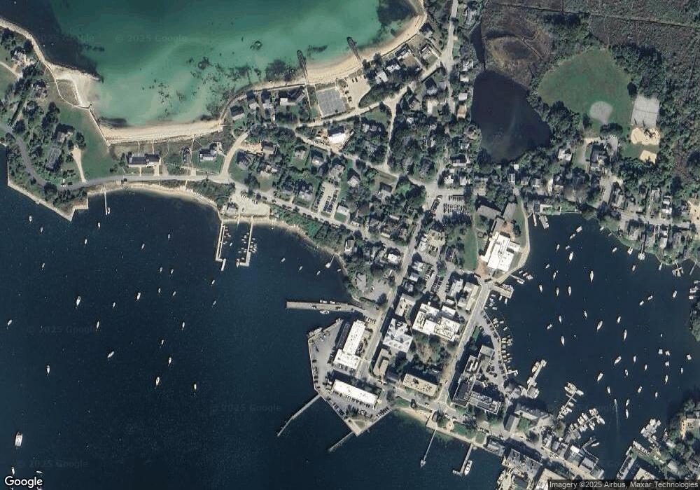
Map
Nearby Homes
- 5 Park Rd
- 14 School St
- 10 Quissett Ave
- 82 Harbor Hill Rd
- 54 Whitman Rd
- 533 Woods Hole Rd Unit B101
- 533 Woods Hole Rd Unit D101
- 533 Woods Hole Rd Unit B102
- 533 Woods Hole Rd Unit E202
- 533 Woods Hole Rd Unit E301
- 9 Strawberry Hill Rd
- 9 Strawberry Hill Rd
- 29 Wilson Rd
- 76 F r Lillie Rd
- 251 Woods Hole Rd
- 44 Carey Ln
- 87 Oyster Pond Rd
- 38 Landfall Unit 38
- 38 Landfall
- 28 Bar Neck Rd
- 28 Bar Neck Rd
- 26 Bar Neck Rd
- 26 Albatross St
- 32 Bar Neck Rd
- 30 Albatross St
- 40 Bar Neck Rd
- 27 Bar Neck Rd
- 27 Bar Neck Rd
- 25 Bar Neck Rd
- 31 Bar Neck Rd
- 31 Bar Neck Rd
- 34 Albatross St
- 25 Albatross St
- 27 Albatross St
- 23 Albatross St
- 38 Albatross St
- 17 North St
- 17 Albatross St
- 33 Bar Neck Rd