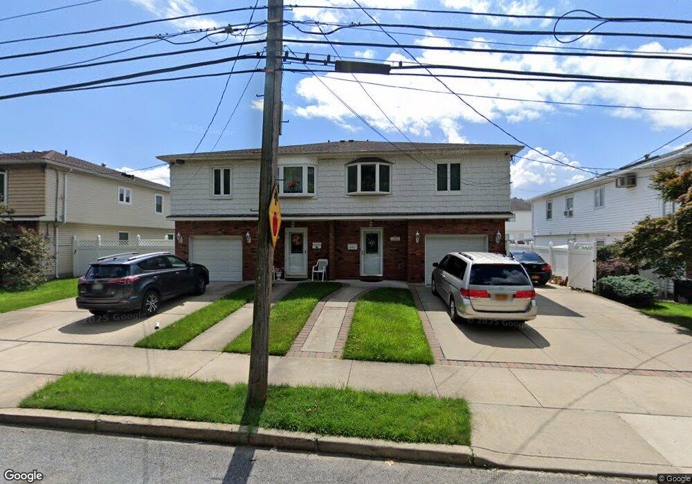
32 Barlow Ave Staten Island, NY 10308
Great Kills NeighborhoodEstimated Value: $662,000 - $788,000
4
Beds
2
Baths
1,080
Sq Ft
$672/Sq Ft
Est. Value
About This Home
This home is located at 32 Barlow Ave, Staten Island, NY 10308 and is currently estimated at $726,050, approximately $672 per square foot. 32 Barlow Ave is a home located in Richmond County with nearby schools including P.S. 32 The Gifford School, I.S. 075 Frank D. Paulo, and Susan E Wagner High School.
Ownership History
Date
Name
Owned For
Owner Type
Purchase Details
Closed on
Jan 7, 2000
Sold by
Obrien Harold J and Obrien Joy M
Bought by
Lombardi Michael C and Lombardi Lori E
Current Estimated Value
Home Financials for this Owner
Home Financials are based on the most recent Mortgage that was taken out on this home.
Original Mortgage
$170,000
Interest Rate
8.24%
Create a Home Valuation Report for This Property
The Home Valuation Report is an in-depth analysis detailing your home's value as well as a comparison with similar homes in the area
Home Values in the Area
Average Home Value in this Area
Purchase History
| Date | Buyer | Sale Price | Title Company |
|---|---|---|---|
| Lombardi Michael C | $225,000 | -- |
Source: Public Records
Mortgage History
| Date | Status | Borrower | Loan Amount |
|---|---|---|---|
| Previous Owner | Lombardi Michael C | $170,000 |
Source: Public Records
Tax History Compared to Growth
Tax History
| Year | Tax Paid | Tax Assessment Tax Assessment Total Assessment is a certain percentage of the fair market value that is determined by local assessors to be the total taxable value of land and additions on the property. | Land | Improvement |
|---|---|---|---|---|
| 2025 | $5,917 | $41,880 | $7,234 | $34,646 |
| 2024 | $5,929 | $39,060 | $7,633 | $31,427 |
| 2023 | $5,629 | $29,117 | $6,735 | $22,382 |
| 2022 | $5,197 | $36,060 | $9,660 | $26,400 |
| 2021 | $5,197 | $29,880 | $9,660 | $20,220 |
| 2020 | $5,236 | $30,300 | $9,660 | $20,640 |
| 2019 | $5,087 | $28,200 | $9,660 | $18,540 |
| 2018 | $4,649 | $24,264 | $7,630 | $16,634 |
| 2017 | $4,367 | $22,891 | $8,029 | $14,862 |
| 2016 | $4,044 | $21,780 | $9,660 | $12,120 |
| 2015 | $3,808 | $21,896 | $7,447 | $14,449 |
| 2014 | $3,808 | $21,432 | $7,618 | $13,814 |
Source: Public Records
Map
Nearby Homes
- 47 Jumel St
- 52 Barlow Ave
- 4 Country Woods Ln
- 305 Corbin Ave
- 98 Kennington St
- 43 Country Woods Ln
- 298 Tanglewood Dr
- 19 Nutwood Ct
- 160 Tanglewood Dr
- 168 Leverett Ave
- 62 Daleham St
- 132 Elkhart St
- 17 Greaves Ct
- 59 Gibson Ave
- 12 Troy St
- 66 Gibson Ave
- 157 Exeter St
- 87 Pemberton Ave
- 12 Lexington Ln
- 106 Redwood Ave