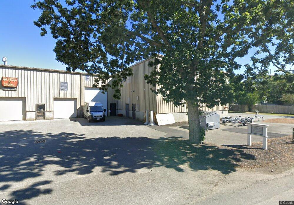
32 Baxter Rd Unit 3 Hyannis, MA 2601
Hyannis NeighborhoodEstimated Value: $165,792
Studio
--
Bath
1,600
Sq Ft
$104/Sq Ft
Est. Value
About This Home
This home is located at 32 Baxter Rd Unit 3, Hyannis, MA 2601 and is currently estimated at $165,792, approximately $103 per square foot. 32 Baxter Rd Unit 3 is a home located in Barnstable County with nearby schools including Hyannis West Elementary School, Barnstable United Elementary School, and Barnstable Intermediate School.
Ownership History
Date
Name
Owned For
Owner Type
Purchase Details
Closed on
Sep 20, 2012
Sold by
Marco Rt
Bought by
Dip N Strip Realty Llc
Current Estimated Value
Purchase Details
Closed on
Apr 16, 2010
Sold by
Vanwagenen Cindy and Malchman David
Bought by
Marco Rt and Ehart D Jeffrey
Home Financials for this Owner
Home Financials are based on the most recent Mortgage that was taken out on this home.
Original Mortgage
$60,000
Interest Rate
4.97%
Mortgage Type
Commercial
Create a Home Valuation Report for This Property
The Home Valuation Report is an in-depth analysis detailing your home's value as well as a comparison with similar homes in the area
Home Values in the Area
Average Home Value in this Area
Purchase History
| Date | Buyer | Sale Price | Title Company |
|---|---|---|---|
| Dip N Strip Realty Llc | $70,000 | -- | |
| Marco Rt | $75,000 | -- |
Source: Public Records
Mortgage History
| Date | Status | Borrower | Loan Amount |
|---|---|---|---|
| Previous Owner | Marco Rt | $60,000 |
Source: Public Records
Tax History
| Year | Tax Paid | Tax Assessment Tax Assessment Total Assessment is a certain percentage of the fair market value that is determined by local assessors to be the total taxable value of land and additions on the property. | Land | Improvement |
|---|---|---|---|---|
| 2025 | $1,424 | $144,900 | $0 | $144,900 |
| 2024 | $1,386 | $142,200 | $0 | $142,200 |
| 2023 | $1,495 | $142,200 | $0 | $142,200 |
| 2022 | $1,555 | $121,500 | $0 | $121,500 |
| 2021 | $1,574 | $123,000 | $0 | $123,000 |
| 2020 | $842 | $64,000 | $0 | $64,000 |
| 2019 | $864 | $64,000 | $0 | $64,000 |
| 2018 | $814 | $62,600 | $0 | $62,600 |
| 2017 | $788 | $62,600 | $0 | $62,600 |
| 2016 | $769 | $62,600 | $0 | $62,600 |
| 2015 | $798 | $66,500 | $0 | $66,500 |
Source: Public Records
Map
Nearby Homes
- 32 Baxter Rd Unit 4
- 32 Baxter Rd Unit 5
- 32 Baxter Rd Unit 2
- 32 Baxter Rd Unit 8
- 32 Baxter Rd Unit 1
- 32 Baxter Rd Unit 7
- 32 Baxter Rd Unit 6
- 20 Baxter Rd
- 20 Baxter Rd
- 0 Lewis Rd
- 333 Barnstable Rd
- 333 Barnstable Rd
- 101 Lewis Rd
- 363 Barnstable Rd
- 78 Lewis Rd
- 111 Lewis Rd
- 319 Barnstable Rd
- 25 Baxter Rd
- 339 Barnstable Rd
- 117 Lewis Rd
Your Personal Tour Guide
Ask me questions while you tour the home.