Estimated Value: $425,000 - $1,182,000
--
Bed
2
Baths
1,600
Sq Ft
$541/Sq Ft
Est. Value
About This Home
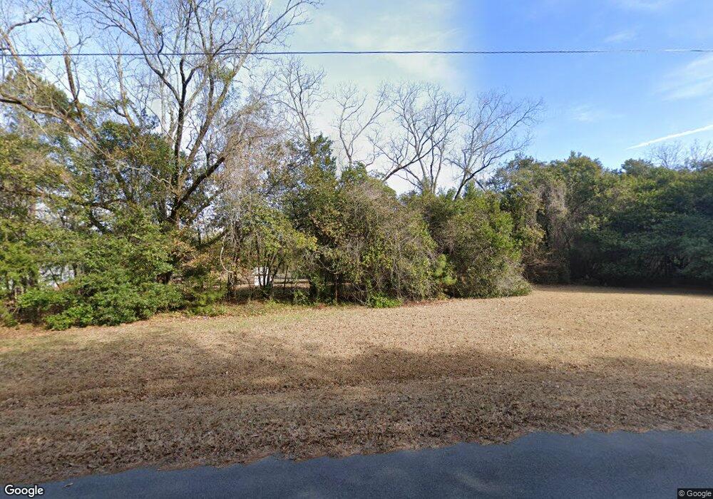
This home is located at 32 Bell Rd, Mauk, GA 31058 and is currently estimated at $865,598, approximately $540 per square foot. 32 Bell Rd is a home located in Taylor County with nearby schools including Taylor County Primary School, Taylor County Upper Elementary School, and Taylor County Middle School.
Ownership History
Date
Name
Owned For
Owner Type
Purchase Details
Closed on
May 25, 2018
Sold by
Wayne Hamrick J
Bought by
Triple P Plantation Llc
Current Estimated Value
Home Financials for this Owner
Home Financials are based on the most recent Mortgage that was taken out on this home.
Original Mortgage
$500,000
Interest Rate
4.5%
Mortgage Type
New Conventional
Purchase Details
Closed on
Jul 2, 2012
Sold by
Hamrick J Wayne
Bought by
Dixon Barbara B and Dixon Darius R
Purchase Details
Closed on
May 8, 1992
Bought by
Hamrick Hamrick J and Hamrick Ma
Create a Home Valuation Report for This Property
The Home Valuation Report is an in-depth analysis detailing your home's value as well as a comparison with similar homes in the area
Home Values in the Area
Average Home Value in this Area
Purchase History
| Date | Buyer | Sale Price | Title Company |
|---|---|---|---|
| Triple P Plantation Llc | $650,000 | -- | |
| Dixon Barbara B | -- | -- | |
| Hamrick Hamrick J | $133,500 | -- |
Source: Public Records
Mortgage History
| Date | Status | Borrower | Loan Amount |
|---|---|---|---|
| Closed | Triple P Plantation Llc | $500,000 |
Source: Public Records
Tax History Compared to Growth
Tax History
| Year | Tax Paid | Tax Assessment Tax Assessment Total Assessment is a certain percentage of the fair market value that is determined by local assessors to be the total taxable value of land and additions on the property. | Land | Improvement |
|---|---|---|---|---|
| 2024 | $2,827 | $240,788 | $195,240 | $45,548 |
| 2023 | $2,721 | $203,828 | $168,120 | $35,708 |
| 2022 | $4,451 | $193,788 | $160,040 | $33,748 |
| 2021 | $2,507 | $185,668 | $160,040 | $25,628 |
| 2020 | $2,475 | $185,668 | $160,040 | $25,628 |
| 2019 | $2,462 | $185,668 | $160,040 | $25,628 |
| 2018 | $4,376 | $181,728 | $160,040 | $21,688 |
| 2017 | $2,135 | $174,602 | $155,174 | $19,428 |
| 2016 | $1,864 | $164,700 | $155,174 | $9,526 |
| 2015 | -- | $136,696 | $127,170 | $9,526 |
| 2014 | -- | $210,728 | $200,772 | $9,957 |
| 2013 | -- | $218,519 | $208,324 | $10,194 |
Source: Public Records
Map
Nearby Homes
- 0 Liberty Rd
- 12 AC Liberty Rd
- 3599 Ga Highway 127
- SR-240 Connector
- 15 Georgia 127
- 095 Mt Sinai Church Rd
- 69 Mt Sinai Church Rd
- 004 Mt Sinai Church Rd
- 0 Brannon Montgomery Rd Unit 10453495
- 0 Brannon Montgomery Rd Unit 25510431
- 0 Georgia 240
- 1 Americus Hwy
- 0 Mt Sinai Church Rd Unit 10555546
- 0 Americus Hwy Unit 10490217
- 62 Brannon Montgomery Rd
- 010 Mallard Rd
- 29 Mallard Rd
- 221 Flamingo Dr
- 0 Jaye Rd Unit 23797888
- 0 Jaye Rd Unit 10638259
- 13 Bell Rd
- 1224 Ed Davis Rd
- 1713 Buena Vista Hwy
- 1732 Buena Vista Hwy
- 1718 Buena Vista Hwy
- 4952 Georgia 137
- 1769 Buena Vista Hwy
- 5 Southern States Rd
- 1774 Buena Vista Hwy
- 1782 Buena Vista Hwy
- 00 State Highway 137
- 1004 Ga Highway 90 W
- 58 Ridgely Rd
- 1062 Ed Davis Rd
- 143 Southern States Rd
- 77 Ridgely Rd