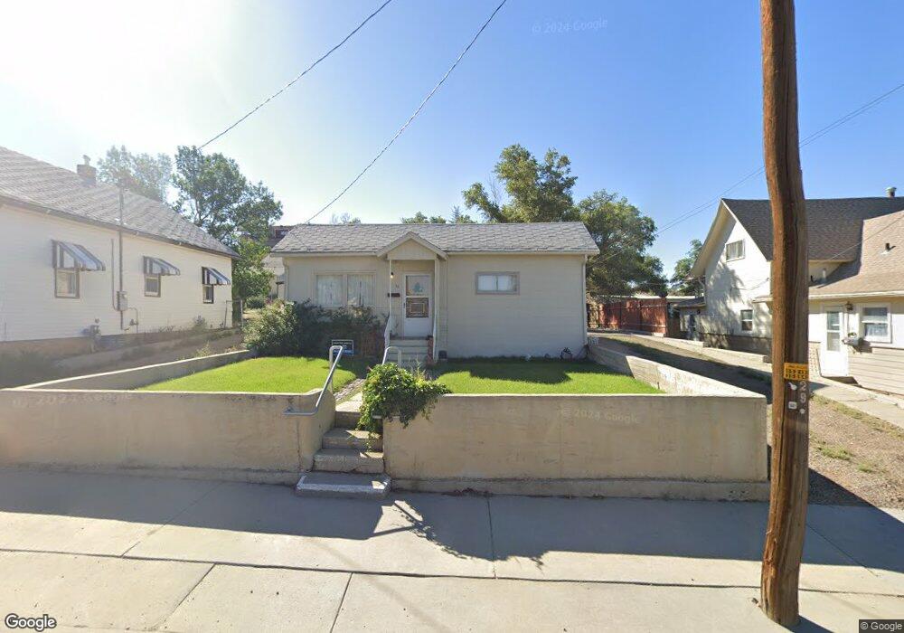
32 Blair Ave Unit A St Rock Springs, WY 82901
Estimated Value: $143,000 - $148,000
2
Beds
1
Bath
992
Sq Ft
$147/Sq Ft
Est. Value
About This Home
This home is located at 32 Blair Ave Unit A St, Rock Springs, WY 82901 and is currently estimated at $145,500, approximately $146 per square foot. 32 Blair Ave Unit A St is a home located in Sweetwater County with nearby schools including Walnut Elementary School, Rock Springs Junior High School, and Rock Springs High School.
Ownership History
Date
Name
Owned For
Owner Type
Purchase Details
Closed on
Dec 16, 2024
Sold by
Zanetti Jerry J
Bought by
Top Hat Leasing Llc
Current Estimated Value
Home Financials for this Owner
Home Financials are based on the most recent Mortgage that was taken out on this home.
Original Mortgage
$457,500
Outstanding Balance
$453,902
Interest Rate
6.79%
Mortgage Type
New Conventional
Estimated Equity
-$308,402
Purchase Details
Closed on
Aug 16, 2013
Sold by
Elena Faccini
Bought by
Zanetti Jerry
Create a Home Valuation Report for This Property
The Home Valuation Report is an in-depth analysis detailing your home's value as well as a comparison with similar homes in the area
Home Values in the Area
Average Home Value in this Area
Purchase History
| Date | Buyer | Sale Price | Title Company |
|---|---|---|---|
| Top Hat Leasing Llc | -- | None Listed On Document | |
| Zanetti Jerry | -- | -- |
Source: Public Records
Mortgage History
| Date | Status | Borrower | Loan Amount |
|---|---|---|---|
| Open | Top Hat Leasing Llc | $457,500 |
Source: Public Records
Tax History Compared to Growth
Tax History
| Year | Tax Paid | Tax Assessment Tax Assessment Total Assessment is a certain percentage of the fair market value that is determined by local assessors to be the total taxable value of land and additions on the property. | Land | Improvement |
|---|---|---|---|---|
| 2025 | $866 | $9,883 | $1,425 | $8,458 |
| 2024 | $866 | $11,713 | $1,900 | $9,813 |
| 2023 | $821 | $11,335 | $1,900 | $9,435 |
| 2022 | $802 | $10,974 | $1,900 | $9,074 |
| 2021 | $771 | $10,529 | $1,900 | $8,629 |
| 2020 | $754 | $10,309 | $1,900 | $8,409 |
| 2019 | $738 | $10,163 | $1,900 | $8,263 |
| 2018 | $736 | $10,110 | $1,900 | $8,210 |
| 2017 | $730 | $9,989 | $1,900 | $8,089 |
| 2015 | -- | $9,549 | $0 | $0 |
| 2014 | -- | $9,333 | $0 | $0 |
Source: Public Records
Map
Nearby Homes
- 31 1st St
- 518 A St
- 809 Ash St
- 820 Maple St
- 816 Center St
- 805 Walnut St
- 716 B St
- 602 Dewar Dr
- 801 Mckeehan Ave
- 126 Grant St
- 740 Rhode Island Ave
- 922 New Hampshire St
- 804 Connecticut Ave
- 820 Connecticut Ave
- 124 L St
- 1002 Wyoming St
- 1217 - 1324 Sand Pointe Way
- 1104 New Hampshire St
- 814 7th St
- 1116 Wyoming St
- 32 1/2 Blair Unit A St
- 32 Blair Ave Unit 5
- 36 Blair Ave
- 28 Blair Ave
- 40 Blair Ave
- 35 Blair Ave
- 410 Walnut St
- 402 Walnut St
- 406 Walnut St
- 37 Blair Ave
- 412 Walnut St
- 29 Blair Ave
- 43 Blair Ave
- 39 Blair Ave
- 28 1st St
- 414 Walnut St
- 414 Walnut St Unit Between Blair Ave &
- 45 Blair Ave
- 44 1st St
- 44 1st St Unit A STREET