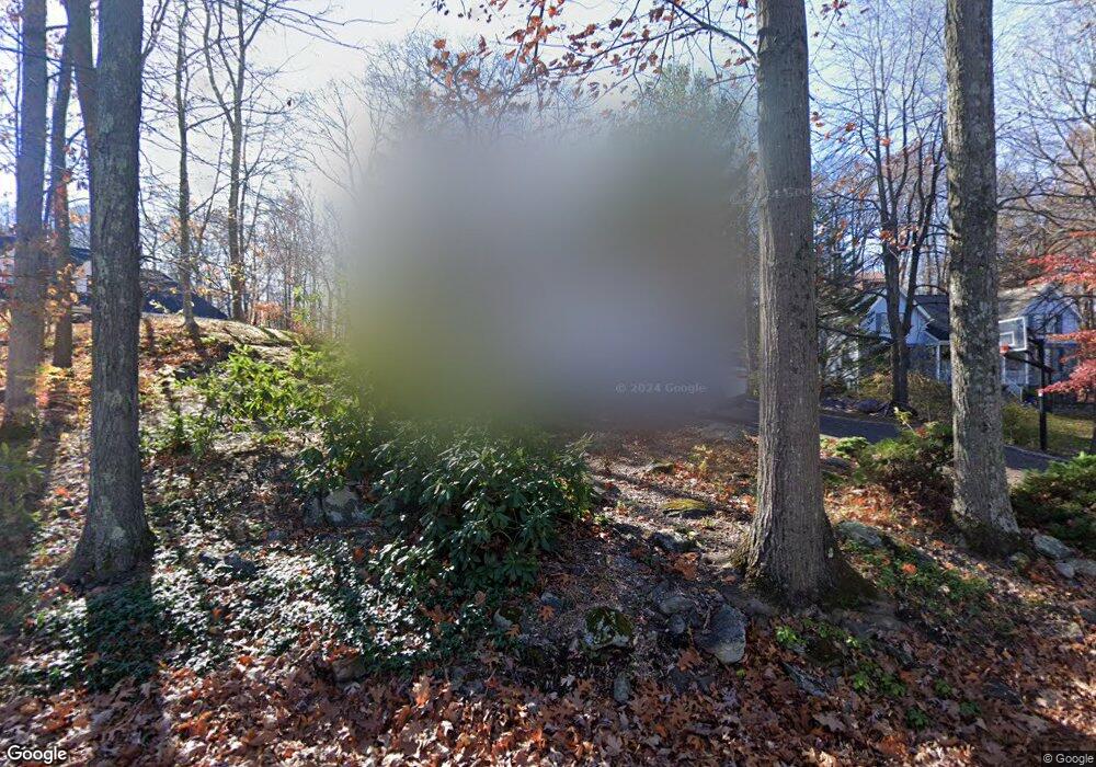
32 Bogus Hill Rd New Fairfield, CT 06812
Estimated Value: $627,544 - $718,000
3
Beds
2
Baths
1,642
Sq Ft
$406/Sq Ft
Est. Value
About This Home
This home is located at 32 Bogus Hill Rd, New Fairfield, CT 06812 and is currently estimated at $666,136, approximately $405 per square foot. 32 Bogus Hill Rd is a home located in Fairfield County with nearby schools including Meeting House Hill School, New Fairfield Middle School, and New Fairfield High School.
Ownership History
Date
Name
Owned For
Owner Type
Purchase Details
Closed on
May 11, 2017
Sold by
Wells Fargo Bank Na
Bought by
Franze Anthony
Current Estimated Value
Purchase Details
Closed on
Jan 19, 2016
Sold by
Mackey Jill H
Bought by
Wells Fargo Bank Na
Purchase Details
Closed on
Oct 1, 2004
Sold by
Ten-Pow George
Bought by
Mackey Jill H
Home Financials for this Owner
Home Financials are based on the most recent Mortgage that was taken out on this home.
Original Mortgage
$351,500
Interest Rate
5.81%
Purchase Details
Closed on
Sep 28, 1995
Sold by
North American B&T
Bought by
Waldron Patrick and Mackey Jill
Create a Home Valuation Report for This Property
The Home Valuation Report is an in-depth analysis detailing your home's value as well as a comparison with similar homes in the area
Home Values in the Area
Average Home Value in this Area
Purchase History
| Date | Buyer | Sale Price | Title Company |
|---|---|---|---|
| Franze Anthony | $237,399 | -- | |
| Wells Fargo Bank Na | -- | -- | |
| Mackey Jill H | $370,000 | -- | |
| Waldron Patrick | $240,000 | -- | |
| Franze Anthony | $237,399 | -- | |
| Wells Fargo Bank Na | -- | -- | |
| Mackey Jill H | $370,000 | -- | |
| Waldron Patrick | $240,000 | -- |
Source: Public Records
Mortgage History
| Date | Status | Borrower | Loan Amount |
|---|---|---|---|
| Previous Owner | Waldron Patrick | $351,500 | |
| Previous Owner | Waldron Patrick | $149,250 |
Source: Public Records
Tax History Compared to Growth
Tax History
| Year | Tax Paid | Tax Assessment Tax Assessment Total Assessment is a certain percentage of the fair market value that is determined by local assessors to be the total taxable value of land and additions on the property. | Land | Improvement |
|---|---|---|---|---|
| 2025 | $9,579 | $363,800 | $143,400 | $220,400 |
| 2024 | $9,152 | $250,600 | $129,400 | $121,200 |
| 2023 | $8,746 | $250,600 | $129,400 | $121,200 |
| 2022 | $8,137 | $250,600 | $129,400 | $121,200 |
| 2021 | $7,891 | $250,600 | $129,400 | $121,200 |
| 2020 | $7,663 | $250,600 | $129,400 | $121,200 |
| 2019 | $7,339 | $237,500 | $150,100 | $87,400 |
| 2018 | $7,263 | $237,500 | $150,100 | $87,400 |
| 2017 | $7,082 | $237,500 | $150,100 | $87,400 |
| 2016 | $6,776 | $237,500 | $150,100 | $87,400 |
| 2015 | $6,776 | $237,500 | $150,100 | $87,400 |
| 2014 | $6,311 | $242,000 | $151,400 | $90,600 |
Source: Public Records
Map
Nearby Homes
- 11 Knollcrest Rd
- 256 State Route 39
- 153 Shortwoods Rd
- 8 Heritage Island Rd
- 155 Shortwoods Rd
- 4 Harbour View Dr
- 15 Flak Ln
- 32 Sail Harbour Dr
- 128 Carmen Hill Rd
- 15 Misty Brook Ln
- 3 Alexandra Dr
- 10 Juniper Dr
- 7 Eagle Dr
- 47 Mist Hill Dr
- 7 Candle Hill Rd
- 6A Rock Ridge Ct
- 126 Carmen Hill Rd
- 54 Lavelle Ave
- 2 Pleasant View Rd
- 41 Overlook Dr
- 32 Bogus Hill Rd
- 30 Bogus Hill Rd
- 34 Bogus Hill Rd
- 51 Bogus Hill Rd
- 53 Bogus Hill Rd
- 49 Bogus Hill Rd
- 36 Bogus Hill Rd
- 57 Bogus Hill Rd
- 11 Sunset Dr
- 11 Sunset Dr
- 47 Bogus Hill Rd
- 55 Bogus Hill Rd
- 26 Bogus Hill Rd
- 59 Bogus Hill Rd
- 9 Sunset Dr
- 45 Bogus Hill Rd
- 38 Bogus Hill Rd
- 13 Sunset Dr
- 61 Bogus Hill Rd
- 43 Bogus Hill Rd