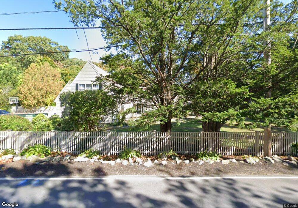
32 Branch St Scituate, MA 02066
Estimated Value: $876,000 - $1,002,826
2
Beds
2
Baths
1,338
Sq Ft
$707/Sq Ft
Est. Value
About This Home
This home is located at 32 Branch St, Scituate, MA 02066 and is currently estimated at $946,207, approximately $707 per square foot. 32 Branch St is a home located in Plymouth County with nearby schools including Cushing Elementary School, Lester J. Gates Middle School, and Scituate High School.
Ownership History
Date
Name
Owned For
Owner Type
Purchase Details
Closed on
Dec 8, 2021
Sold by
Williamson Christopher E and Williamson Deana
Bought by
Tw Brunswick Llc
Current Estimated Value
Purchase Details
Closed on
May 26, 2021
Sold by
Stickney Marion K Est
Bought by
Williamson Christopher E and Williamson Deana
Home Financials for this Owner
Home Financials are based on the most recent Mortgage that was taken out on this home.
Original Mortgage
$479,920
Interest Rate
3%
Mortgage Type
Purchase Money Mortgage
Purchase Details
Closed on
Jul 3, 2009
Sold by
Padden Edward G
Bought by
Sandjule Rt
Purchase Details
Closed on
May 1, 2002
Sold by
Goodhue Terence E and Goodhue Mark J
Bought by
Padden Edward G
Create a Home Valuation Report for This Property
The Home Valuation Report is an in-depth analysis detailing your home's value as well as a comparison with similar homes in the area
Home Values in the Area
Average Home Value in this Area
Purchase History
| Date | Buyer | Sale Price | Title Company |
|---|---|---|---|
| Tw Brunswick Llc | -- | None Available | |
| Williamson Christopher E | $599,900 | None Available | |
| Sandjule Rt | $345,000 | -- | |
| Padden Edward G | $285,000 | -- |
Source: Public Records
Mortgage History
| Date | Status | Borrower | Loan Amount |
|---|---|---|---|
| Previous Owner | Williamson Christopher E | $479,920 |
Source: Public Records
Tax History
| Year | Tax Paid | Tax Assessment Tax Assessment Total Assessment is a certain percentage of the fair market value that is determined by local assessors to be the total taxable value of land and additions on the property. | Land | Improvement |
|---|---|---|---|---|
| 2025 | $8,611 | $862,000 | $521,500 | $340,500 |
| 2024 | $7,484 | $722,400 | $439,000 | $283,400 |
| 2023 | $7,248 | $651,200 | $399,100 | $252,100 |
| 2022 | $6,874 | $544,700 | $327,200 | $217,500 |
| 2021 | $5,808 | $435,700 | $311,700 | $124,000 |
| 2020 | $5,879 | $435,500 | $311,600 | $123,900 |
| 2019 | $5,878 | $427,800 | $305,500 | $122,300 |
| 2018 | $5,276 | $378,200 | $250,700 | $127,500 |
| 2017 | $5,188 | $368,200 | $240,700 | $127,500 |
| 2016 | $5,007 | $354,100 | $230,700 | $123,400 |
| 2015 | $4,506 | $344,000 | $220,600 | $123,400 |
Source: Public Records
Map
Nearby Homes
- 20 Lawson Rd
- 74 Branch St Unit 15
- 49 Jackson Rd
- 20 Lee Ave
- 34 Cudworth Rd
- 1 Washington Ln
- 20 Grace Way Unit 20
- 6 Grace Way Unit 6
- 27 Grace Way
- 327 Country Way
- 111 Elm St
- 115 Elm St
- 54 Woodland Rd
- 38 Lauren Ln
- 59 Captain Peirce Rd
- 46 Tilden Rd
- 49 Whittier Dr
- 86 Hatherly Rd
- 537 First Parish Rd
- 98 Satuit Trail
Your Personal Tour Guide
Ask me questions while you tour the home.