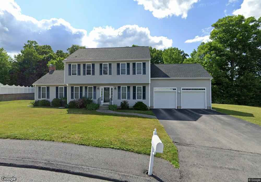
32 Briarcliff Dr Auburn, MA 01501
Stoneville NeighborhoodEstimated Value: $710,236 - $784,000
3
Beds
3
Baths
2,130
Sq Ft
$350/Sq Ft
Est. Value
About This Home
This home is located at 32 Briarcliff Dr, Auburn, MA 01501 and is currently estimated at $745,309, approximately $349 per square foot. 32 Briarcliff Dr is a home located in Worcester County with nearby schools including Auburn Senior High School and Shrewsbury Montessori School - Auburn Campus.
Ownership History
Date
Name
Owned For
Owner Type
Purchase Details
Closed on
Mar 29, 2007
Sold by
Bryn Mawr Estates Llc
Bought by
Altman Sheryl M
Current Estimated Value
Home Financials for this Owner
Home Financials are based on the most recent Mortgage that was taken out on this home.
Original Mortgage
$347,000
Outstanding Balance
$211,875
Interest Rate
6.33%
Mortgage Type
Purchase Money Mortgage
Estimated Equity
$533,434
Create a Home Valuation Report for This Property
The Home Valuation Report is an in-depth analysis detailing your home's value as well as a comparison with similar homes in the area
Home Values in the Area
Average Home Value in this Area
Purchase History
| Date | Buyer | Sale Price | Title Company |
|---|---|---|---|
| Altman Sheryl M | $135,000 | -- |
Source: Public Records
Mortgage History
| Date | Status | Borrower | Loan Amount |
|---|---|---|---|
| Open | Altman Sheryl M | $347,000 |
Source: Public Records
Tax History Compared to Growth
Tax History
| Year | Tax Paid | Tax Assessment Tax Assessment Total Assessment is a certain percentage of the fair market value that is determined by local assessors to be the total taxable value of land and additions on the property. | Land | Improvement |
|---|---|---|---|---|
| 2025 | $90 | $629,700 | $183,300 | $446,400 |
| 2024 | $9,015 | $603,800 | $176,300 | $427,500 |
| 2023 | $8,439 | $531,400 | $149,700 | $381,700 |
| 2022 | $7,892 | $469,200 | $149,700 | $319,500 |
| 2021 | $7,552 | $416,300 | $123,600 | $292,700 |
| 2020 | $7,485 | $416,300 | $123,600 | $292,700 |
| 2019 | $7,432 | $403,500 | $122,500 | $281,000 |
| 2018 | $7,306 | $396,200 | $114,500 | $281,700 |
| 2017 | $7,068 | $385,400 | $103,700 | $281,700 |
| 2016 | $6,764 | $373,900 | $98,800 | $275,100 |
| 2015 | $6,381 | $369,700 | $98,800 | $270,900 |
| 2014 | $6,249 | $361,400 | $94,000 | $267,400 |
Source: Public Records
Map
Nearby Homes
- 34 Briarcliff Dr
- 15 Old Cart Rd
- 19 Old Cart Rd
- 23 Briarcliff Dr
- 13 Old Cart Rd
- 28 Briarcliff Dr
- 36 Briarcliff Dr
- 25 Briarcliff Dr
- 16 Old Cart Rd
- 2 Amherst Dr
- 21 Old Cart Rd
- 11 Old Cart Rd
- 18 Old Cart Rd
- 14 Old Cart Rd
- 12 Old Cart Rd
- 20 Old Cart Rd
- 26 Briarcliff Dr
- 38 Briarcliff Dr
- 4 Amherst Dr
- 9 Old Cart Rd