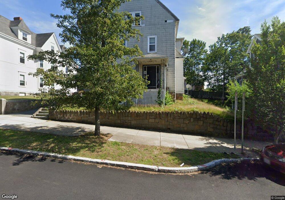
32 Broadway Beverly, MA 01915
Downtown Beverly NeighborhoodEstimated Value: $1,197,571
14
Beds
3
Baths
3,492
Sq Ft
$343/Sq Ft
Est. Value
About This Home
This home is located at 32 Broadway, Beverly, MA 01915 and is currently estimated at $1,197,571, approximately $342 per square foot. 32 Broadway is a home located in Essex County with nearby schools including Beverly High School, Mrs Alexander's School, and Shore Country Day School.
Ownership History
Date
Name
Owned For
Owner Type
Purchase Details
Closed on
Nov 22, 2023
Sold by
Qirjazi David and Qirjazi Grigor
Bought by
32 Broadway Beverly Llc
Current Estimated Value
Purchase Details
Closed on
Jul 24, 2003
Sold by
Jackson Thomas M
Bought by
Broadway B Rt and Bdiwi
Home Financials for this Owner
Home Financials are based on the most recent Mortgage that was taken out on this home.
Original Mortgage
$360,000
Interest Rate
5.27%
Mortgage Type
Commercial
Create a Home Valuation Report for This Property
The Home Valuation Report is an in-depth analysis detailing your home's value as well as a comparison with similar homes in the area
Home Values in the Area
Average Home Value in this Area
Purchase History
| Date | Buyer | Sale Price | Title Company |
|---|---|---|---|
| 32 Broadway Beverly Llc | -- | None Available | |
| Broadway B Rt | $557,000 | -- |
Source: Public Records
Mortgage History
| Date | Status | Borrower | Loan Amount |
|---|---|---|---|
| Previous Owner | Broadway B Rt | $322,500 | |
| Previous Owner | Broadway B Rt | $360,000 |
Source: Public Records
Tax History
| Year | Tax Paid | Tax Assessment Tax Assessment Total Assessment is a certain percentage of the fair market value that is determined by local assessors to be the total taxable value of land and additions on the property. | Land | Improvement |
|---|---|---|---|---|
| 2025 | $11,870 | $1,080,100 | $363,500 | $716,600 |
| 2024 | $11,081 | $986,700 | $297,600 | $689,100 |
| 2023 | $10,771 | $956,600 | $267,500 | $689,100 |
| 2022 | $7,349 | $603,900 | $211,000 | $392,900 |
| 2021 | $7,549 | $594,400 | $201,500 | $392,900 |
| 2020 | $7,481 | $583,100 | $190,200 | $392,900 |
| 2019 | $7,429 | $562,400 | $169,500 | $392,900 |
| 2018 | $7,598 | $558,700 | $165,800 | $392,900 |
| 2017 | $7,358 | $515,300 | $122,400 | $392,900 |
| 2016 | $7,018 | $487,700 | $122,400 | $365,300 |
| 2015 | $6,881 | $487,700 | $122,400 | $365,300 |
Source: Public Records
Map
Nearby Homes
- 261 Rantoul St
- 23 1/2 Lovett St
- The Cabot Collection
- 348 Rantoul St Unit 202
- 12 Summit Ave Unit 4
- 7 Lothrop St
- 27 Folger Ave
- 23 Winthrop Ave Unit 1
- 14 Harrison Ave
- 16 Crescent Ave
- 28 Columbus Ave Unit 4
- 28 Columbus Ave Unit 3
- 42 Bisson St
- 123 Livingstone Ave
- 19 Cedar St
- 412 Cabot St
- 9 Swan St Unit 3
- 9 Swan St Unit 2
- 39 & 41 Woodbury St
- 4 Beach Ave
- 34 Broadway
- 34 Broadway Unit 1R
- 30 Broadway Unit 5
- 30 Broadway Unit 1
- 30 Broadway Unit 4
- 36 Broadway
- 43 Railroad Ave
- 31 Vestry St
- 38 Broadway Unit 1
- 38 Broadway
- 39 Railroad Ave Unit 3
- 39 Railroad Ave
- 35 Broadway
- 35 Broadway Unit 2
- 35 Broadway Unit 3
- 28 Broadway Unit 3
- 45 Railroad Ave Unit 2
- 45 Railroad Ave Unit 1
- 45 Railroad Ave
- 45 Railroad Ave Unit 1,45