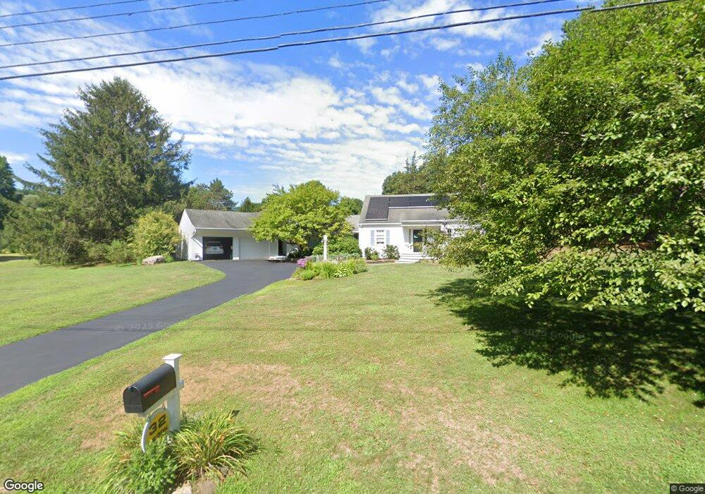
32 Brook Dr Simsbury, CT 06070
Estimated Value: $592,289 - $658,000
3
Beds
3
Baths
2,516
Sq Ft
$247/Sq Ft
Est. Value
About This Home
This home is located at 32 Brook Dr, Simsbury, CT 06070 and is currently estimated at $620,322, approximately $246 per square foot. 32 Brook Dr is a home located in Hartford County with nearby schools including Squadron Line School, Henry James Memorial School, and Simsbury High School.
Ownership History
Date
Name
Owned For
Owner Type
Purchase Details
Closed on
Feb 28, 2012
Sold by
Clegg Jamie L and Dipinto Fka J
Bought by
Clegg Jamie L and Clegg William D
Current Estimated Value
Home Financials for this Owner
Home Financials are based on the most recent Mortgage that was taken out on this home.
Original Mortgage
$300,000
Outstanding Balance
$123,921
Interest Rate
3.89%
Estimated Equity
$496,401
Purchase Details
Closed on
Jun 28, 1999
Sold by
Hall James P and Hall Robin L
Bought by
Dipinto Michael J and Dipinto Jamie L
Purchase Details
Closed on
Dec 20, 1994
Sold by
Steggles Monique
Bought by
Hall James and Hall Robin
Purchase Details
Closed on
Apr 21, 1989
Sold by
Fetterman Ted
Bought by
Steggles Christopher
Purchase Details
Closed on
Oct 28, 1987
Sold by
Ansart Arthur
Bought by
Fetterman Ted
Create a Home Valuation Report for This Property
The Home Valuation Report is an in-depth analysis detailing your home's value as well as a comparison with similar homes in the area
Home Values in the Area
Average Home Value in this Area
Purchase History
| Date | Buyer | Sale Price | Title Company |
|---|---|---|---|
| Clegg Jamie L | -- | -- | |
| Dipinto Michael J | $255,000 | -- | |
| Hall James | $232,000 | -- | |
| Steggles Christopher | $309,000 | -- | |
| Fetterman Ted | $294,500 | -- |
Source: Public Records
Mortgage History
| Date | Status | Borrower | Loan Amount |
|---|---|---|---|
| Open | Fetterman Ted | $300,000 | |
| Previous Owner | Fetterman Ted | $315,400 |
Source: Public Records
Tax History Compared to Growth
Tax History
| Year | Tax Paid | Tax Assessment Tax Assessment Total Assessment is a certain percentage of the fair market value that is determined by local assessors to be the total taxable value of land and additions on the property. | Land | Improvement |
|---|---|---|---|---|
| 2025 | $10,638 | $311,430 | $92,400 | $219,030 |
| 2024 | $10,374 | $311,430 | $92,400 | $219,030 |
| 2023 | $9,910 | $311,430 | $92,400 | $219,030 |
| 2022 | $9,231 | $238,950 | $99,400 | $139,550 |
| 2021 | $9,231 | $238,950 | $99,400 | $139,550 |
| 2020 | $8,863 | $238,950 | $99,400 | $139,550 |
| 2019 | $8,918 | $238,950 | $99,400 | $139,550 |
| 2018 | $8,982 | $238,950 | $99,400 | $139,550 |
| 2017 | $8,414 | $217,090 | $97,020 | $120,070 |
| 2016 | $8,058 | $217,090 | $97,020 | $120,070 |
| 2015 | $8,058 | $217,090 | $97,020 | $120,070 |
| 2014 | $8,063 | $217,090 | $97,020 | $120,070 |
Source: Public Records
Map
Nearby Homes
- 247 Old Farms Rd
- 18 Meadowlark Rd
- 324 Firetown Rd
- 25 Barry Ln
- 40 Firetown Rd Unit 39
- 9 Gretel Ln
- 16 Stratton Forest Way
- 26 Winterset Ln
- 48 Library Ln Unit 48
- 1 West St Unit 206
- 2 North Dr
- 3 Stebbins Brook Ln
- 4 Stebbins Brook Ln
- 45 Hoskins Rd
- 10 Sachems Trail
- 87 Cambridge Ct
- 8 Quorn Hunt Rd
- 143 N Mountain Rd
- 537 Cherry Brook Rd
- 19 Simsbury Landing