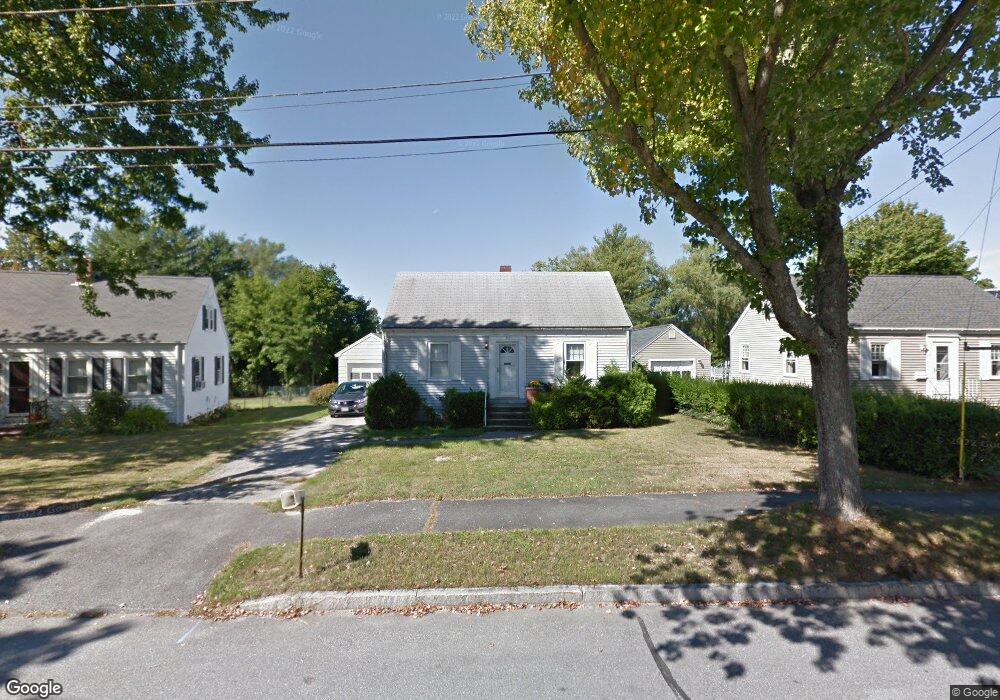
32 Brook Rd Portland, ME 04103
North Deering NeighborhoodEstimated Value: $446,000 - $665,813
2
Beds
1
Bath
891
Sq Ft
$578/Sq Ft
Est. Value
About This Home
This home is located at 32 Brook Rd, Portland, ME 04103 and is currently estimated at $514,953, approximately $577 per square foot. 32 Brook Rd is a home located in Cumberland County with nearby schools including Harrison Lyseth Elementary School, Lyman Moore Middle School, and St. Brigid School.
Ownership History
Date
Name
Owned For
Owner Type
Purchase Details
Closed on
Jan 5, 2024
Sold by
Brush & Hammer Bldrs Inc
Bought by
Arslanbas Gizem
Current Estimated Value
Home Financials for this Owner
Home Financials are based on the most recent Mortgage that was taken out on this home.
Original Mortgage
$516,000
Outstanding Balance
$506,631
Interest Rate
7.29%
Mortgage Type
Purchase Money Mortgage
Estimated Equity
$8,322
Purchase Details
Closed on
Nov 3, 2023
Sold by
Brush & Hammer Bldrs Inc
Bought by
Kane David
Purchase Details
Closed on
Apr 13, 2012
Sold by
Bunker Forest G Est and Bunker
Bought by
Bunker Martin E
Create a Home Valuation Report for This Property
The Home Valuation Report is an in-depth analysis detailing your home's value as well as a comparison with similar homes in the area
Home Values in the Area
Average Home Value in this Area
Purchase History
| Date | Buyer | Sale Price | Title Company |
|---|---|---|---|
| Arslanbas Gizem | $645,000 | None Available | |
| Kane David | $699,000 | None Available | |
| Bunker Martin E | -- | -- | |
| Bunker Martin E | -- | -- |
Source: Public Records
Mortgage History
| Date | Status | Borrower | Loan Amount |
|---|---|---|---|
| Open | Arslanbas Gizem | $516,000 |
Source: Public Records
Tax History Compared to Growth
Tax History
| Year | Tax Paid | Tax Assessment Tax Assessment Total Assessment is a certain percentage of the fair market value that is determined by local assessors to be the total taxable value of land and additions on the property. | Land | Improvement |
|---|---|---|---|---|
| 2024 | $4,179 | $278,400 | $80,900 | $197,500 |
| 2023 | $4,012 | $278,400 | $80,900 | $197,500 |
| 2022 | $3,789 | $278,400 | $80,900 | $197,500 |
| 2021 | $3,616 | $278,400 | $80,900 | $197,500 |
| 2020 | $3,576 | $153,400 | $85,900 | $67,500 |
| 2019 | $3,576 | $153,400 | $85,900 | $67,500 |
| 2018 | $3,448 | $153,400 | $85,900 | $67,500 |
| 2017 | $3,321 | $153,400 | $85,900 | $67,500 |
| 2016 | $3,238 | $153,400 | $85,900 | $67,500 |
| 2015 | $3,165 | $153,400 | $85,900 | $67,500 |
| 2014 | $3,068 | $153,400 | $85,900 | $67,500 |
Source: Public Records
Map
Nearby Homes
- 428 Allen Ave
- 459 Allen Ave Unit 16
- 30 Sanborn St
- Lots 23-25 Fisher St
- 1 Coolidge Ave
- 20 Tampa St
- 98 Regan Ln
- 676 Allen Ave
- 12 Dakota St
- 153 Regan Ln
- 30 Chesley Ave
- 24 Pineloch Dr
- 90 Farragut St
- 74 Chesley Ave
- 14 Shepherd Ln
- 16 Shepherd Ln
- 18 Shepherd Ln
- 1155 Washington Ave
- 1155 Washington Ave Unit 1
- 1155 Washington Ave Unit 2