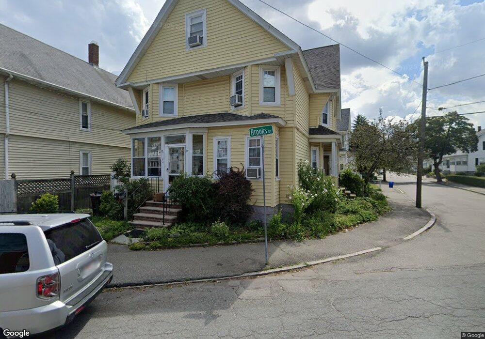
32 Brooks Ave Unit 1 Quincy, MA 02169
South Quincy NeighborhoodEstimated Value: $870,775 - $978,000
4
Beds
1
Bath
2,641
Sq Ft
$351/Sq Ft
Est. Value
About This Home
This home is located at 32 Brooks Ave Unit 1, Quincy, MA 02169 and is currently estimated at $926,194, approximately $350 per square foot. 32 Brooks Ave Unit 1 is a home located in Norfolk County with nearby schools including South West Middle School, Lincoln-Hancock Community School, and Quincy High School.
Ownership History
Date
Name
Owned For
Owner Type
Purchase Details
Closed on
Nov 3, 2014
Sold by
Cantelli Virginia C and Maffeo Karen M
Bought by
Nguyen Michael and Nguyen Thao T
Current Estimated Value
Home Financials for this Owner
Home Financials are based on the most recent Mortgage that was taken out on this home.
Original Mortgage
$515,400
Outstanding Balance
$397,850
Interest Rate
4.21%
Mortgage Type
FHA
Estimated Equity
$528,344
Create a Home Valuation Report for This Property
The Home Valuation Report is an in-depth analysis detailing your home's value as well as a comparison with similar homes in the area
Home Values in the Area
Average Home Value in this Area
Purchase History
| Date | Buyer | Sale Price | Title Company |
|---|---|---|---|
| Nguyen Michael | $530,000 | -- |
Source: Public Records
Mortgage History
| Date | Status | Borrower | Loan Amount |
|---|---|---|---|
| Open | Nguyen Michael | $515,400 |
Source: Public Records
Tax History Compared to Growth
Tax History
| Year | Tax Paid | Tax Assessment Tax Assessment Total Assessment is a certain percentage of the fair market value that is determined by local assessors to be the total taxable value of land and additions on the property. | Land | Improvement |
|---|---|---|---|---|
| 2025 | $9,473 | $821,600 | $254,900 | $566,700 |
| 2024 | $8,894 | $789,200 | $242,700 | $546,500 |
| 2023 | $8,539 | $767,200 | $220,700 | $546,500 |
| 2022 | $8,561 | $714,600 | $183,900 | $530,700 |
| 2021 | $7,821 | $644,200 | $183,900 | $460,300 |
| 2020 | $8,011 | $644,500 | $183,900 | $460,600 |
| 2019 | $7,484 | $596,300 | $173,500 | $422,800 |
| 2018 | $7,661 | $574,300 | $160,600 | $413,700 |
| 2017 | $7,035 | $496,500 | $153,000 | $343,500 |
| 2016 | $6,204 | $432,000 | $133,000 | $299,000 |
| 2015 | $6,275 | $429,800 | $133,000 | $296,800 |
| 2014 | $5,492 | $369,600 | $133,000 | $236,600 |
Source: Public Records
Map
Nearby Homes
- 56 Penn St Unit 4
- 118 Brook Rd Unit 2
- 94 Brook Rd Unit 3
- 72 Federal Ave
- 347 Centre St
- 21 Totman St Unit 202
- 21 Totman St Unit 309
- 21 Totman St Unit Model-1
- 21 Totman St Unit 209
- 21 Totman St Unit 203
- 21 Totman St Unit 2
- 8 Jackson St Unit B2
- 51 Brook Rd
- 177 Franklin St
- 192 Federal Ave Unit B
- 50 N Payne St Unit 1
- 50 N Payne St Unit 3
- 64 Garfield St Unit B
- 91 Garfield St
- 83 Madison Ave
- 32 Brooks Ave
- 30 Brooks Ave
- 2 Rodman St Unit 2
- 2 Rodman St
- 8 Rodman St
- 9 Trafford St
- 11 Trafford St
- 1 Trafford St
- 1 & 3 Trafford St
- 1-3 Trafford St Unit 2
- 1-3 Trafford St Unit 1
- 1-3 Trafford St
- 10 Rodman St
- 42 Brooks Ave
- 43 Brooks Ave Unit 2
- 43 Brooks Ave Unit 1
- 43 Brooks Ave
- 41 Brooks Ave Unit 1
- 41 Brooks Ave
- 41 Brooks Ave Unit 2