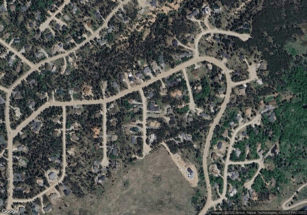
32 Brooks St Breckenridge, CO 80424
Estimated Value: $2,061,000 - $3,531,695
5
Beds
4
Baths
4,472
Sq Ft
$635/Sq Ft
Est. Value
About This Home
This home is located at 32 Brooks St, Breckenridge, CO 80424 and is currently estimated at $2,837,674, approximately $634 per square foot. 32 Brooks St is a home with nearby schools including Upper Blue Elementary School, Summit Middle School, and Summit High School.
Ownership History
Date
Name
Owned For
Owner Type
Purchase Details
Closed on
Mar 23, 2017
Sold by
Laidlaw Douglass and Laidlaw Cameron
Bought by
The Fritz Krockow Family Living Trust
Current Estimated Value
Purchase Details
Closed on
Sep 20, 2005
Sold by
Landis Andy F
Bought by
Laidlaw Douglass and Laidlaw Cameron
Home Financials for this Owner
Home Financials are based on the most recent Mortgage that was taken out on this home.
Original Mortgage
$592,000
Interest Rate
5.5%
Mortgage Type
Adjustable Rate Mortgage/ARM
Purchase Details
Closed on
Apr 14, 2005
Sold by
Tota Anthony and Landis Andy F
Bought by
Landis Andy F
Home Financials for this Owner
Home Financials are based on the most recent Mortgage that was taken out on this home.
Original Mortgage
$548,000
Interest Rate
6.5%
Mortgage Type
Stand Alone Refi Refinance Of Original Loan
Create a Home Valuation Report for This Property
The Home Valuation Report is an in-depth analysis detailing your home's value as well as a comparison with similar homes in the area
Home Values in the Area
Average Home Value in this Area
Purchase History
| Date | Buyer | Sale Price | Title Company |
|---|---|---|---|
| The Fritz Krockow Family Living Trust | $1,135,000 | Land Title Guarantee Company | |
| Laidlaw Douglass | $740,000 | Land Title Guarantee Company | |
| Landis Andy F | -- | Land Title Guarantee Company |
Source: Public Records
Mortgage History
| Date | Status | Borrower | Loan Amount |
|---|---|---|---|
| Previous Owner | Laidlaw Douglass | $592,000 | |
| Previous Owner | Landis Andy F | $548,000 |
Source: Public Records
Tax History Compared to Growth
Tax History
| Year | Tax Paid | Tax Assessment Tax Assessment Total Assessment is a certain percentage of the fair market value that is determined by local assessors to be the total taxable value of land and additions on the property. | Land | Improvement |
|---|---|---|---|---|
| 2024 | $8,143 | $169,209 | -- | -- |
| 2023 | $8,143 | $165,524 | $0 | $0 |
| 2022 | $5,249 | $99,858 | $0 | $0 |
| 2021 | $5,346 | $102,731 | $0 | $0 |
| 2020 | $4,769 | $90,891 | $0 | $0 |
| 2019 | $4,701 | $90,891 | $0 | $0 |
| 2018 | $4,017 | $75,247 | $0 | $0 |
| 2017 | $3,674 | $75,247 | $0 | $0 |
| 2016 | $3,516 | $70,915 | $0 | $0 |
| 2015 | $3,403 | $70,915 | $0 | $0 |
| 2014 | $3,042 | $62,560 | $0 | $0 |
| 2013 | -- | $62,560 | $0 | $0 |
Source: Public Records
Map
Nearby Homes
- 3824 Ski Hill Rd
- 61 Pine Cir
- 111 Burro Ln
- 66 Sitzmark Cir
- 63 Twin Pines Ct
- 1187 American Way
- 599 American Way
- 163 Lone Hand Way
- 1009 American Way
- 456 Peerless Dr
- 384 Blue Ridge Rd
- 24 Ski Pole Ct
- 5629 Barton Rd
- 114 Regent Dr
- 41 Barton Ridge Dr
- 60 Barton Ridge Dr
- 847 Airport Rd Unit 24
- 847 Airport Rd Unit 12
- 847 Airport Rd Unit 18
- 847 Airport Rd Unit 4
