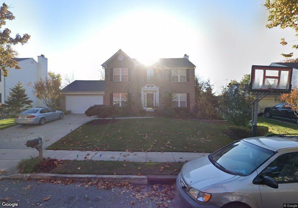
32 Brookside Dr Bordentown, NJ 08505
Estimated Value: $588,274 - $673,000
3
Beds
3
Baths
2,096
Sq Ft
$304/Sq Ft
Est. Value
About This Home
This home is located at 32 Brookside Dr, Bordentown, NJ 08505 and is currently estimated at $637,819, approximately $304 per square foot. 32 Brookside Dr is a home located in Burlington County with nearby schools including Number 5, Roebling Elementary School, Riverfront Middle School, and Florence Twp Mem High School.
Ownership History
Date
Name
Owned For
Owner Type
Purchase Details
Closed on
Nov 13, 2009
Sold by
Sullivan Sina B
Bought by
Dats Valdimir and Dats Lioubov
Current Estimated Value
Home Financials for this Owner
Home Financials are based on the most recent Mortgage that was taken out on this home.
Original Mortgage
$140,000
Outstanding Balance
$87,120
Interest Rate
4.1%
Mortgage Type
Purchase Money Mortgage
Estimated Equity
$550,699
Purchase Details
Closed on
Aug 9, 2000
Sold by
Nvr Inc
Bought by
Sullivan Sina B
Home Financials for this Owner
Home Financials are based on the most recent Mortgage that was taken out on this home.
Original Mortgage
$183,050
Interest Rate
8.13%
Purchase Details
Closed on
Jun 1, 2000
Sold by
Hill Creek Llc
Bought by
Nvr Inc
Create a Home Valuation Report for This Property
The Home Valuation Report is an in-depth analysis detailing your home's value as well as a comparison with similar homes in the area
Home Values in the Area
Average Home Value in this Area
Purchase History
| Date | Buyer | Sale Price | Title Company |
|---|---|---|---|
| Dats Valdimir | $353,500 | None Available | |
| Sullivan Sina B | $228,865 | First American Title Ins Co | |
| Nvr Inc | $190,500 | Title America Agency |
Source: Public Records
Mortgage History
| Date | Status | Borrower | Loan Amount |
|---|---|---|---|
| Open | Dats Valdimir | $140,000 | |
| Previous Owner | Sullivan Sina B | $183,050 |
Source: Public Records
Tax History Compared to Growth
Tax History
| Year | Tax Paid | Tax Assessment Tax Assessment Total Assessment is a certain percentage of the fair market value that is determined by local assessors to be the total taxable value of land and additions on the property. | Land | Improvement |
|---|---|---|---|---|
| 2025 | $9,554 | $342,800 | $120,000 | $222,800 |
| 2024 | $9,146 | $342,800 | $120,000 | $222,800 |
| 2023 | $9,146 | $342,800 | $120,000 | $222,800 |
| 2022 | $8,951 | $342,800 | $120,000 | $222,800 |
| 2021 | $8,074 | $342,800 | $120,000 | $222,800 |
| 2020 | $8,837 | $342,800 | $120,000 | $222,800 |
| 2019 | $8,759 | $342,800 | $120,000 | $222,800 |
| 2018 | $8,683 | $342,800 | $120,000 | $222,800 |
| 2017 | $8,577 | $342,800 | $120,000 | $222,800 |
| 2016 | $8,412 | $342,800 | $120,000 | $222,800 |
| 2015 | $8,241 | $342,800 | $120,000 | $222,800 |
| 2014 | $8,011 | $342,800 | $120,000 | $222,800 |
Source: Public Records
Map
Nearby Homes
- 12 Brookside Dr
- 67 Ridgway Dr
- 124 Ridgway Dr
- 85 Creekwood Dr
- 74 Creekwood Dr
- 12 Ridgway Dr
- 1036 Potts Mill Rd
- 1031 Potts Mill Rd
- 406 Arnold Dr
- 26 Creekwood Dr
- 606 Archibald Ln
- 1007 Potts Mill Rd
- 19 Magnolia Ct
- 0 Monika Way Unit NJBL2096290
- 0 Monika Way Unit NJBL2071070
- 71 Amboy Ave
- 15 Railroad Ave
- 234 Birch Hollow Dr
- 2000 Cedar Lane Extension
- 149 2nd Ave