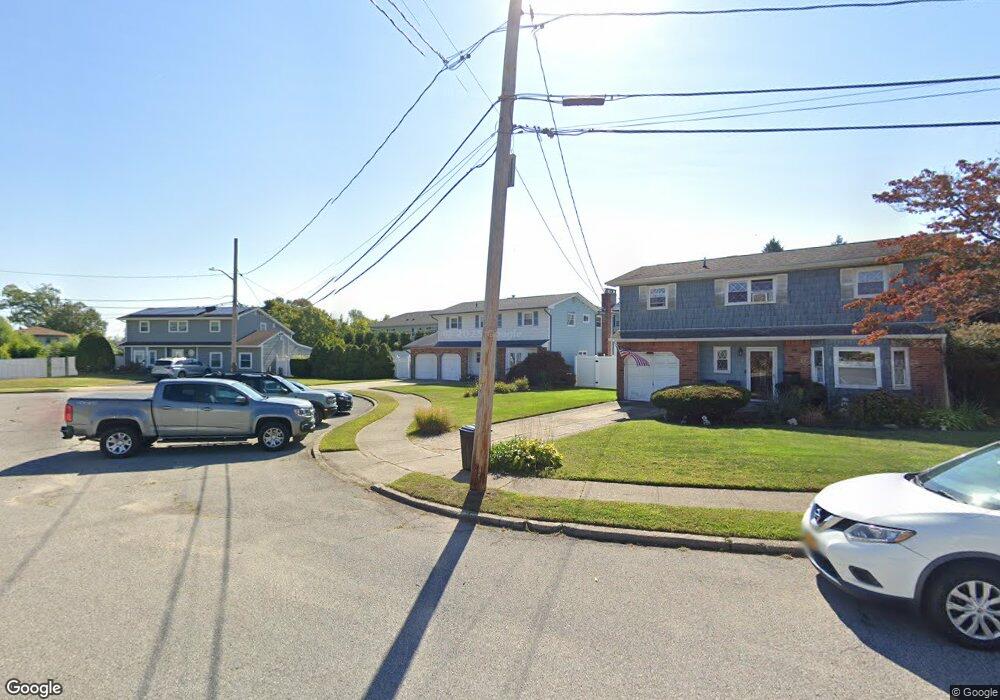
32 Brooktree Cir Lindenhurst, NY 11757
Estimated Value: $528,895 - $809,000
Studio
1
Bath
1,802
Sq Ft
$400/Sq Ft
Est. Value
About This Home
This home is located at 32 Brooktree Cir, Lindenhurst, NY 11757 and is currently estimated at $720,724, approximately $399 per square foot. 32 Brooktree Cir is a home located in Suffolk County with nearby schools including West Gates Elementary School, Lindenhurst Middle School, and Lindenhurst Senior High School.
Ownership History
Date
Name
Owned For
Owner Type
Purchase Details
Closed on
Mar 18, 2020
Sold by
Franchi Vincent J
Bought by
Vincent J & L F Franchi Ft
Current Estimated Value
Purchase Details
Closed on
May 3, 2018
Sold by
Franchi Vincent J and Franchi Linda F
Bought by
Franchi Frank H
Purchase Details
Closed on
Sep 3, 1996
Sold by
Franchi Vincent J and Franchi Linda
Bought by
Franchi Vincent J and Franchi Linda F
Create a Home Valuation Report for This Property
The Home Valuation Report is an in-depth analysis detailing your home's value as well as a comparison with similar homes in the area
Home Values in the Area
Average Home Value in this Area
Purchase History
| Date | Buyer | Sale Price | Title Company |
|---|---|---|---|
| Vincent J & L F Franchi Ft | -- | None Available | |
| Franchi Frank H | -- | -- | |
| Franchi Vincent J | -- | -- |
Source: Public Records
Tax History
| Year | Tax Paid | Tax Assessment Tax Assessment Total Assessment is a certain percentage of the fair market value that is determined by local assessors to be the total taxable value of land and additions on the property. | Land | Improvement |
|---|---|---|---|---|
| 2024 | $12,326 | $4,280 | $420 | $3,860 |
| 2023 | $11,081 | $4,280 | $420 | $3,860 |
| 2022 | $12,198 | $4,280 | $420 | $3,860 |
| 2021 | $12,198 | $4,280 | $420 | $3,860 |
| 2020 | $9,893 | $4,280 | $420 | $3,860 |
| 2019 | $10,961 | $0 | $0 | $0 |
| 2018 | $9,299 | $4,280 | $420 | $3,860 |
| 2017 | $9,299 | $4,280 | $420 | $3,860 |
| 2016 | $9,344 | $4,280 | $420 | $3,860 |
| 2015 | -- | $4,280 | $420 | $3,860 |
| 2014 | -- | $4,280 | $420 | $3,860 |
Source: Public Records
Map
Nearby Homes
- 131 E Alhambra Ave
- 554 S 8th St
- 551 S 7th St
- 15 E Clearwater Rd
- 717 S 9th St
- 742 S 9th St
- 729 S 9th St
- 745 S 9th St
- 305 S Strong Ave
- 315 Cedar Ct
- 704 S 5th St
- 46 W Clearwater Rd
- 207 E Santa Barbara Rd
- 260 Cedar Ct
- 52 Halycon Rd
- 786 S 4th St
- 815 S 4th St
- 361 S 16th St
- 310 S 16th St
- 76 E Hollywood Ave
- 36 Brooktree Cir
- 28 Brooktree Cir
- 40 Brooktree Cir
- 580 W Montauk Hwy Unit 22
- 580 W Montauk Hwy Unit 26
- 580 W Montauk Hwy Unit 29
- 580 W Montauk Hwy Unit 32
- 580 W Montauk Hwy
- 580 W Montauk Hwy Unit 30
- 580 W Montauk Hwy Unit 31
- 580 W Montauk Hwy Unit 23
- 580 W Montauk Hwy Unit 21
- 20 Brooktree Cir
- 24 Brooktree Cir
- 17 Brooktree Cir
- 589 S 9th St
- 44 Brooktree Cir
- 587 S 9th St
- 11 Brooktree Cir
Your Personal Tour Guide
Ask me questions while you tour the home.