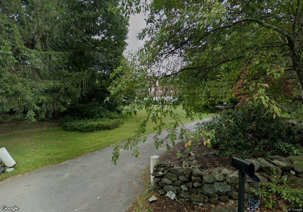
32 Brookview Rd Boxford, MA 01921
Estimated Value: $1,178,220 - $1,500,000
5
Beds
3
Baths
3,674
Sq Ft
$356/Sq Ft
Est. Value
About This Home
This home is located at 32 Brookview Rd, Boxford, MA 01921 and is currently estimated at $1,309,555, approximately $356 per square foot. 32 Brookview Rd is a home located in Essex County with nearby schools including Annie L Sargent Elementary School, North Andover Middle School, and North Andover High School.
Ownership History
Date
Name
Owned For
Owner Type
Purchase Details
Closed on
Oct 31, 2001
Sold by
32 Brookview Rd Box Rt and Lima Manuel C
Bought by
Leire Thomas A and Leire Jennifer F
Current Estimated Value
Purchase Details
Closed on
Dec 15, 1997
Sold by
Farina James S and Farina Janet Foster
Bought by
Lima Manuel C and Lima Judith A
Purchase Details
Closed on
Jul 31, 1995
Sold by
Shade Russell L and Shade Debra M
Bought by
Farina James S and Farina Janet
Create a Home Valuation Report for This Property
The Home Valuation Report is an in-depth analysis detailing your home's value as well as a comparison with similar homes in the area
Home Values in the Area
Average Home Value in this Area
Purchase History
| Date | Buyer | Sale Price | Title Company |
|---|---|---|---|
| Leire Thomas A | $720,000 | -- | |
| Lima Manuel C | $368,000 | -- | |
| Farina James S | $360,000 | -- |
Source: Public Records
Mortgage History
| Date | Status | Borrower | Loan Amount |
|---|---|---|---|
| Open | Farina James S | $60,000 | |
| Open | Farina James S | $765,000 |
Source: Public Records
Tax History
| Year | Tax Paid | Tax Assessment Tax Assessment Total Assessment is a certain percentage of the fair market value that is determined by local assessors to be the total taxable value of land and additions on the property. | Land | Improvement |
|---|---|---|---|---|
| 2025 | $13,178 | $979,800 | $420,200 | $559,600 |
| 2024 | $12,786 | $979,800 | $420,200 | $559,600 |
| 2023 | $12,412 | $896,800 | $375,400 | $521,400 |
| 2022 | $11,748 | $771,900 | $313,100 | $458,800 |
| 2021 | $12,140 | $758,300 | $284,800 | $473,500 |
| 2020 | $12,026 | $743,700 | $284,800 | $458,900 |
| 2019 | $11,132 | $683,800 | $271,100 | $412,700 |
| 2018 | $11,421 | $705,000 | $271,100 | $433,900 |
| 2017 | $11,291 | $692,300 | $258,300 | $434,000 |
| 2016 | $11,532 | $700,600 | $258,300 | $442,300 |
| 2015 | $10,870 | $679,800 | $258,300 | $421,500 |
Source: Public Records
Map
Nearby Homes
- Lot 2 (31) Lawrence Rd
- 94 Lawrence Rd
- 85 Townsend Farm Rd
- 626 Forest St
- Lot 10 Stonecleave Rd
- 851 Forest St
- 590 Foster St
- 122 Forest St
- 94 Boxford St
- 24 Appleton Ln
- 50 Boxford St
- 534 Ipswich Rd
- 427b Ipswich Rd
- 224 Raleigh Tavern Ln
- 53 Woodcrest Rd
- 37 Moonpenny Dr
- 49 Windsor Ln
- 71 Regency Place
- 66 Compass Point Unit 66
- 20-B Wildmeadow Rd
- 28 Brookview Rd
- 24 Brookview Rd
- 34 Brookview Rd
- 29 Brookview Rd
- 38 Brookview Rd
- 27 Brookview Rd
- 42 Brookview Rd
- 20 Brookview Rd
- 46 Brookview Rd
- 48 Brookview Rd
- 14 Tanglewood Rd
- 15 Tanglewood Rd
- 33 Stonecleave Rd
- 78A Lawrence Rd
- 78B Lawrence Rd
- 78C Lawrence Rd
- 78 Lawrence Rd
- 78 Lawrence Rd Unit C
- 12 Tanglewood Rd
- 21 Stonecleave Rd
Your Personal Tour Guide
Ask me questions while you tour the home.