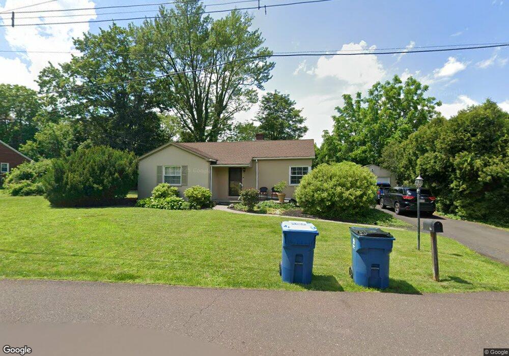
32 Campbell Ave Doylestown, PA 18901
Estimated Value: $493,395 - $530,000
3
Beds
1
Bath
1,428
Sq Ft
$361/Sq Ft
Est. Value
About This Home
This home is located at 32 Campbell Ave, Doylestown, PA 18901 and is currently estimated at $515,849, approximately $361 per square foot. 32 Campbell Ave is a home located in Bucks County with nearby schools including Linden El School, Lenape Middle School, and Central Bucks High School-West.
Ownership History
Date
Name
Owned For
Owner Type
Purchase Details
Closed on
Dec 7, 2022
Sold by
Thompson John H
Bought by
Price Brian R and Deily Jonathan D
Current Estimated Value
Purchase Details
Closed on
Nov 22, 2002
Sold by
Barthelson Roger A and Howe Judy M
Bought by
Thompson John H
Purchase Details
Closed on
Aug 23, 1995
Sold by
Wieser Florence M
Bought by
Barthelson Roger A and Howe Judy M
Home Financials for this Owner
Home Financials are based on the most recent Mortgage that was taken out on this home.
Original Mortgage
$134,900
Interest Rate
4.75%
Create a Home Valuation Report for This Property
The Home Valuation Report is an in-depth analysis detailing your home's value as well as a comparison with similar homes in the area
Home Values in the Area
Average Home Value in this Area
Purchase History
| Date | Buyer | Sale Price | Title Company |
|---|---|---|---|
| Price Brian R | -- | Tohickon Settlement Services | |
| Thompson John H | $225,000 | -- | |
| Barthelson Roger A | $142,000 | Lawyers Title Insurance Corp |
Source: Public Records
Mortgage History
| Date | Status | Borrower | Loan Amount |
|---|---|---|---|
| Previous Owner | Barthelson Roger A | $134,900 |
Source: Public Records
Tax History Compared to Growth
Tax History
| Year | Tax Paid | Tax Assessment Tax Assessment Total Assessment is a certain percentage of the fair market value that is determined by local assessors to be the total taxable value of land and additions on the property. | Land | Improvement |
|---|---|---|---|---|
| 2025 | $4,247 | $24,000 | $5,160 | $18,840 |
| 2024 | $4,247 | $24,000 | $5,160 | $18,840 |
| 2023 | $4,050 | $24,000 | $5,160 | $18,840 |
| 2022 | $4,005 | $24,000 | $5,160 | $18,840 |
| 2021 | $3,922 | $24,000 | $5,160 | $18,840 |
| 2020 | $3,904 | $24,000 | $5,160 | $18,840 |
| 2019 | $3,862 | $24,000 | $5,160 | $18,840 |
| 2018 | $3,850 | $24,000 | $5,160 | $18,840 |
| 2017 | $3,820 | $24,000 | $5,160 | $18,840 |
| 2016 | $3,796 | $24,000 | $5,160 | $18,840 |
| 2015 | -- | $24,000 | $5,160 | $18,840 |
| 2014 | -- | $24,000 | $5,160 | $18,840 |
Source: Public Records
Map
Nearby Homes
- 114 Blackfriars Cir
- 194 Victoria Ct Unit 143
- 100 Bishops Gate Ln Unit 67
- 90 Chapman Ave
- 5437 Rinker Cir Unit 283
- 418 North St
- 301 Windy Run Rd
- 3867 Charter Club Dr
- 3723 William Daves Rd
- 3765 William Daves Rd
- 4748 Bishop Cir
- 143 Myers Dr
- 3711 Jacob Stout Rd Unit 5
- 121 Cottage St
- 5 Belmont Square
- 0 Myers Dr
- 104 Kreutz Ave
- 3838 Jacob Stout Rd
- 146 N Church St
- 169 N Main St
- 44 Campbell Ave
- 33 Campbell Ave
- 31 Campbell Ave
- 90 E Swamp Rd
- 15 Dorothy Ave
- 51 Campbell Ave
- 56 Campbell Ave
- 17 Dorothy Ave
- 91 W Swamp Rd
- 68 Campbell Ave
- 65 Campbell Ave
- 18 Dorothy Ave
- 19 Dorothy Ave
- 20 Dorothy Ave
- 8 Catherine Ave
- 80 Campbell Ave
- 15 Catherine Ave
- 12 Catherine Ave
- 19 Catherine Ave
- 52 Swamp Rd