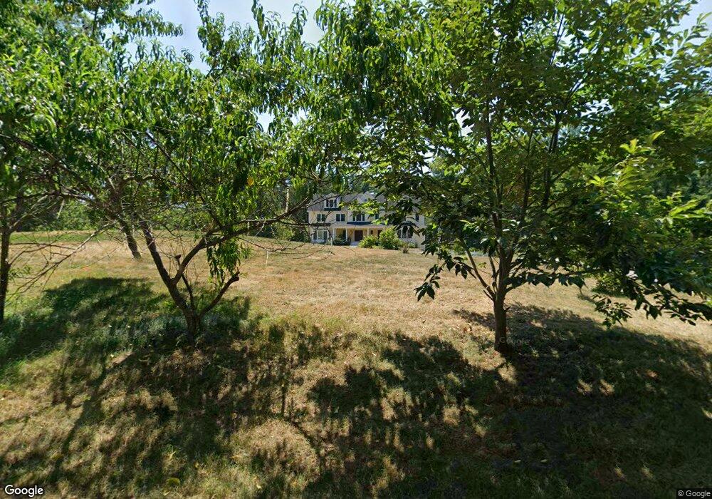
32 Captain Wilson Ln Carlisle, MA 01741
Estimated Value: $2,273,340 - $2,496,000
5
Beds
5
Baths
5,744
Sq Ft
$414/Sq Ft
Est. Value
About This Home
This home is located at 32 Captain Wilson Ln, Carlisle, MA 01741 and is currently estimated at $2,378,585, approximately $414 per square foot. 32 Captain Wilson Ln is a home with nearby schools including Carlisle School and Middlesex School.
Ownership History
Date
Name
Owned For
Owner Type
Purchase Details
Closed on
Sep 3, 2014
Sold by
Carriage Estates T
Bought by
Shang Hongmei and Miller Eric D
Current Estimated Value
Home Financials for this Owner
Home Financials are based on the most recent Mortgage that was taken out on this home.
Original Mortgage
$800,000
Outstanding Balance
$612,000
Interest Rate
4.12%
Mortgage Type
Purchase Money Mortgage
Estimated Equity
$1,766,585
Create a Home Valuation Report for This Property
The Home Valuation Report is an in-depth analysis detailing your home's value as well as a comparison with similar homes in the area
Home Values in the Area
Average Home Value in this Area
Purchase History
| Date | Buyer | Sale Price | Title Company |
|---|---|---|---|
| Shang Hongmei | $482,000 | -- |
Source: Public Records
Mortgage History
| Date | Status | Borrower | Loan Amount |
|---|---|---|---|
| Open | Shang Hongmei | $800,000 |
Source: Public Records
Tax History Compared to Growth
Tax History
| Year | Tax Paid | Tax Assessment Tax Assessment Total Assessment is a certain percentage of the fair market value that is determined by local assessors to be the total taxable value of land and additions on the property. | Land | Improvement |
|---|---|---|---|---|
| 2025 | $28,067 | $2,129,500 | $589,200 | $1,540,300 |
| 2024 | $26,935 | $2,020,600 | $545,600 | $1,475,000 |
| 2023 | $26,114 | $1,845,500 | $501,600 | $1,343,900 |
| 2022 | $29,500 | $1,787,900 | $479,600 | $1,308,300 |
| 2021 | $29,107 | $1,787,900 | $479,600 | $1,308,300 |
| 2020 | $31,274 | $1,703,400 | $392,400 | $1,311,000 |
| 2019 | $30,497 | $1,667,400 | $392,400 | $1,275,000 |
| 2018 | $30,297 | $1,667,400 | $392,400 | $1,275,000 |
| 2017 | $29,290 | $1,662,300 | $392,400 | $1,269,900 |
| 2016 | $7,179 | $417,400 | $392,400 | $25,000 |
| 2015 | $7,456 | $392,400 | $392,400 | $0 |
| 2014 | $7,314 | $392,400 | $392,400 | $0 |
Source: Public Records
Map
Nearby Homes
- 1 Garrison Way Unit 1
- 1420 Curve St
- 232 Baldwin Rd
- 875 Acton St
- 225 Lowell St
- 927 Main St
- 1056 Curve St
- 8 Kay's Walk Unit 13
- 14 Kay's Walk
- 6 Kay's Walk Unit 6
- 6 Kay's Walk
- 2 Kay's Walk Unit 18
- 4 Kay's Walk Unit 15
- 495 Hugh Cargill Rd
- 3 Kay's Walk
- 15 Kay's Walk
- 1 Kay's Walk Unit 1
- 1 Kay's Walk
- 13 Kay's Walk
- 15 Kay's Walk Unit 4
- 123 Greystone Ln
- Lot 3 Greystone Ln
- 7 Greystone Ln
- 216 Cross St
- 106 Greystone Ln
- Lot 15 Captain Wilson Ln
- 81 Greystone Ln
- 148 Greystone Ln
- 86 Greystone Ln
- Lot 7 Greystone Ln
- Lot 5 Greystone Ln
- Lot 4 Greystone Ln
- 2 Greystone Ln
- 5 Greystone Ln
- 1 Greystone Ln
- 8 Greystone Ln
- Lot 1 Greystone Ln
- 80 Captain Wilson Ln
- 10 Captain Wilson Ln
- 9 Captain Wilson Ln