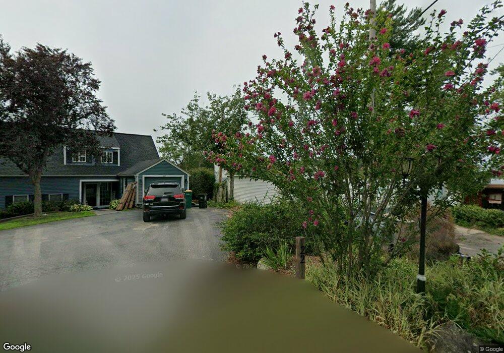
32 Carlson Rd North Attleboro, MA 02760
North Attleboro NeighborhoodEstimated Value: $647,000 - $876,000
4
Beds
4
Baths
2,790
Sq Ft
$274/Sq Ft
Est. Value
About This Home
This home is located at 32 Carlson Rd, North Attleboro, MA 02760 and is currently estimated at $765,795, approximately $274 per square foot. 32 Carlson Rd is a home located in Bristol County with nearby schools including North Attleboro High School, Cadence Academy Preschool - North Attleborough, and St John The Evangelist School.
Ownership History
Date
Name
Owned For
Owner Type
Purchase Details
Closed on
Oct 31, 2025
Sold by
Tarantino Richard A
Bought by
Richard A Tarantino Jr T A and Richard Tarantino
Current Estimated Value
Purchase Details
Closed on
Dec 8, 1992
Sold by
Bertha H Est Ellis and Clegg Robert Barton
Bought by
Tarantino Richard A and Tarantino Lisa J
Home Financials for this Owner
Home Financials are based on the most recent Mortgage that was taken out on this home.
Original Mortgage
$15,000
Interest Rate
8.24%
Create a Home Valuation Report for This Property
The Home Valuation Report is an in-depth analysis detailing your home's value as well as a comparison with similar homes in the area
Home Values in the Area
Average Home Value in this Area
Purchase History
| Date | Buyer | Sale Price | Title Company |
|---|---|---|---|
| Richard A Tarantino Jr T A | -- | -- | |
| Tarantino Richard A | $118,000 | -- | |
| Tarantino Richard A | $118,000 | -- |
Source: Public Records
Mortgage History
| Date | Status | Borrower | Loan Amount |
|---|---|---|---|
| Previous Owner | Tarantino Richard A | $170,000 | |
| Previous Owner | Tarantino Richard A | $124,500 | |
| Previous Owner | Tarantino Richard A | $15,000 | |
| Previous Owner | Tarantino Richard A | $115,978 |
Source: Public Records
Tax History Compared to Growth
Tax History
| Year | Tax Paid | Tax Assessment Tax Assessment Total Assessment is a certain percentage of the fair market value that is determined by local assessors to be the total taxable value of land and additions on the property. | Land | Improvement |
|---|---|---|---|---|
| 2025 | $8,620 | $731,100 | $230,200 | $500,900 |
| 2024 | $8,959 | $776,300 | $230,200 | $546,100 |
| 2023 | $7,761 | $606,800 | $230,200 | $376,600 |
| 2022 | $7,781 | $558,600 | $230,200 | $328,400 |
| 2021 | $3,922 | $595,800 | $230,100 | $365,700 |
| 2020 | $7,956 | $554,400 | $230,100 | $324,300 |
| 2019 | $7,823 | $549,400 | $209,200 | $340,200 |
| 2018 | $3,737 | $524,000 | $209,200 | $314,800 |
| 2017 | $3,873 | $492,100 | $209,200 | $282,900 |
| 2016 | $6,688 | $505,900 | $232,500 | $273,400 |
| 2015 | $6,563 | $499,500 | $232,500 | $267,000 |
| 2014 | $6,153 | $464,700 | $204,100 | $260,600 |
Source: Public Records
Map
Nearby Homes
- 196 Donald Tennant Cir
- 115 Westfield Dr
- 255 Mckeon Dr
- 11 Landry Ave
- 11 Buckthorn Ln
- 150 Gilbert St
- 57 Vine St
- 24 Maverick Dr
- 116 George St
- Lot 2 Jeffrey Dr
- Lot 5 Jeffrey Dr
- 5 Old Wood Rd
- 20 Sperry Ln
- 21 Shady Ln
- 59 Laurelwood Dr
- 12 Houde St
- 451R Gilbert St
- 4 Buckskin Dr
- 28 Messenger St
- 835 Mt Hope St Unit 39
- 42 Carlson Rd
- 22 Carlson Rd
- 52 Carlson Rd
- 2 Greenwood Dr
- 6 Carlson Rd
- 46 Mount Vernon Ave
- 4 Greenwood Dr
- 42 Mount Vernon Ave
- 36 Mount Vernon Ave
- 8 Greenwood Dr
- 28 Mount Vernon Ave
- 10 Greenwood Dr
- 270 Mansfield Rd
- 20 Mount Vernon Ave
- 35 Mount Vernon Ave
- 37 Mount Vernon Ave
- 256 Mansfield Rd
- 29 Mount Vernon Ave
- 12 Greenwood Dr
- 23 Mount Vernon Ave