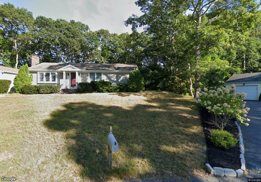
32 Carver Rd Dennis, MA 02638
Dennis Port NeighborhoodEstimated Value: $848,000 - $1,037,000
3
Beds
4
Baths
1,976
Sq Ft
$476/Sq Ft
Est. Value
About This Home
This home is located at 32 Carver Rd, Dennis, MA 02638 and is currently estimated at $940,438, approximately $475 per square foot. 32 Carver Rd is a home located in Barnstable County with nearby schools including Dennis-Yarmouth Regional High School and St. Pius X. School.
Ownership History
Date
Name
Owned For
Owner Type
Purchase Details
Closed on
Mar 27, 2019
Sold by
Klein Irene M
Bought by
Moss Raymond and Moss Stacey
Current Estimated Value
Purchase Details
Closed on
May 8, 2015
Sold by
Klein Ft
Bought by
Klein Irene M
Purchase Details
Closed on
Oct 15, 1997
Sold by
Dunphy Joseph and Willenbrock Darylle
Bought by
Klein Peter and Klein Irene
Create a Home Valuation Report for This Property
The Home Valuation Report is an in-depth analysis detailing your home's value as well as a comparison with similar homes in the area
Home Values in the Area
Average Home Value in this Area
Purchase History
| Date | Buyer | Sale Price | Title Company |
|---|---|---|---|
| Moss Raymond | $580,000 | -- | |
| Klein Irene M | -- | -- | |
| Klein Peter | $115,000 | -- |
Source: Public Records
Mortgage History
| Date | Status | Borrower | Loan Amount |
|---|---|---|---|
| Previous Owner | Klein Peter | $440,000 | |
| Previous Owner | Klein Peter | $75,000 |
Source: Public Records
Tax History Compared to Growth
Tax History
| Year | Tax Paid | Tax Assessment Tax Assessment Total Assessment is a certain percentage of the fair market value that is determined by local assessors to be the total taxable value of land and additions on the property. | Land | Improvement |
|---|---|---|---|---|
| 2025 | $3,558 | $821,700 | $276,500 | $545,200 |
| 2024 | $3,476 | $791,900 | $265,900 | $526,000 |
| 2023 | $3,362 | $720,000 | $241,700 | $478,300 |
| 2022 | $3,042 | $543,300 | $190,500 | $352,800 |
| 2021 | $2,959 | $490,700 | $186,800 | $303,900 |
| 2020 | $2,781 | $455,900 | $186,800 | $269,100 |
| 2019 | $2,525 | $409,300 | $198,800 | $210,500 |
| 2018 | $2,476 | $390,600 | $189,300 | $201,300 |
| 2017 | $2,310 | $375,600 | $174,300 | $201,300 |
| 2016 | $2,366 | $362,300 | $164,400 | $197,900 |
| 2015 | $2,319 | $362,300 | $164,400 | $197,900 |
| 2014 | $2,280 | $359,000 | $154,400 | $204,600 |
Source: Public Records
Map
Nearby Homes
- 402 Old Wharf Rd
- 402 Old Wharf Rd
- 405 Old Wharf Rd Unit B204
- 405 Old Wharf Rd Unit B204
- 9 Chase Ave Unit 6
- 11 Ocean Park W
- 102 Sea St
- 22 Ferncliff Rd
- 37-A Beach Hills Rd
- 37 Beach Hills Rd
- 26 Manning Rd
- 262 Old Wharf Rd Unit 67
- 262 Old Wharf Rd Unit 5
- 262 Old Wharf Rd Unit 5
- 262 Old Wharf Rd Unit 20
- 262 Old Wharf Rd Unit 87
- 1 E Belmont Unit 630
- 12 Cross St
- 1 Belmont Rd Unit 630
- 1 Belmont Rd Unit 513