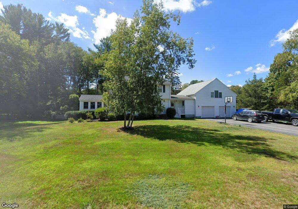
32 Cedarwood Rd Hanover, MA 02339
Estimated Value: $754,000 - $1,023,000
4
Beds
2
Baths
2,404
Sq Ft
$383/Sq Ft
Est. Value
About This Home
This home is located at 32 Cedarwood Rd, Hanover, MA 02339 and is currently estimated at $919,938, approximately $382 per square foot. 32 Cedarwood Rd is a home located in Plymouth County with nearby schools including Hanover High School, South Shore Charter Public School, and Norwell KinderCare.
Ownership History
Date
Name
Owned For
Owner Type
Purchase Details
Closed on
May 22, 2024
Sold by
Cunniff Craig A and Cunniff Lynn A
Bought by
32 Cedarwood Rd Rt and Cunniff
Current Estimated Value
Purchase Details
Closed on
Nov 25, 2014
Sold by
Cunniff Lynn A
Bought by
Cunniff Lynn A and Cunniff Craig A
Purchase Details
Closed on
Nov 2, 2001
Sold by
Finch Joan W
Bought by
Cunniff Lynn A
Home Financials for this Owner
Home Financials are based on the most recent Mortgage that was taken out on this home.
Original Mortgage
$75,000
Interest Rate
6.82%
Mortgage Type
Purchase Money Mortgage
Create a Home Valuation Report for This Property
The Home Valuation Report is an in-depth analysis detailing your home's value as well as a comparison with similar homes in the area
Home Values in the Area
Average Home Value in this Area
Purchase History
| Date | Buyer | Sale Price | Title Company |
|---|---|---|---|
| 32 Cedarwood Rd Rt | -- | None Available | |
| 32 Cedarwood Rd Rt | -- | None Available | |
| 32 Cedarwood Rd Rt | -- | None Available | |
| Cunniff Lynn A | -- | -- | |
| Cunniff Lynn A | $349,900 | -- | |
| Cunniff Lynn A | -- | -- | |
| Cunniff Lynn A | $349,900 | -- |
Source: Public Records
Mortgage History
| Date | Status | Borrower | Loan Amount |
|---|---|---|---|
| Previous Owner | Cunniff Lynn A | $75,000 | |
| Previous Owner | Cunniff Lynn A | $250,000 |
Source: Public Records
Tax History Compared to Growth
Tax History
| Year | Tax Paid | Tax Assessment Tax Assessment Total Assessment is a certain percentage of the fair market value that is determined by local assessors to be the total taxable value of land and additions on the property. | Land | Improvement |
|---|---|---|---|---|
| 2025 | $10,216 | $827,200 | $323,800 | $503,400 |
| 2024 | $9,995 | $778,400 | $323,800 | $454,600 |
| 2023 | $9,657 | $715,900 | $294,300 | $421,600 |
| 2022 | $9,426 | $618,100 | $245,300 | $372,800 |
| 2021 | $3,298 | $575,600 | $222,900 | $352,700 |
| 2020 | $9,134 | $560,000 | $222,900 | $337,100 |
| 2019 | $8,830 | $538,100 | $222,900 | $315,200 |
| 2018 | $3,259 | $506,700 | $222,900 | $283,800 |
| 2017 | $2,715 | $465,400 | $231,600 | $233,800 |
| 2016 | $7,403 | $439,100 | $210,600 | $228,500 |
| 2015 | $7,400 | $458,200 | $229,700 | $228,500 |
Source: Public Records
Map
Nearby Homes
- 1239 Main St
- 70 Dillingham Way
- 375 Webster St
- 118 Bates Way
- 80 Coolidge Rd
- 276 Woodland Dr
- 3 Blueberry Ct
- 53 Chestnut St
- 214 Washington St Unit 24
- 214 Washington St Unit 28
- 120 Deerfield Ln
- 216 Whiting St
- 7 Assinippi Ave Unit 306
- 141 Deerfield Ln
- 18 Colby St
- 62 High St
- 55 Turner Rd
- 206-208 Hinghm St
- 114 Main St
- 62 Larchmont Ln
- 52 Cedarwood Rd
- 55 Brookwood Rd
- 29 Cedarwood Rd
- 17 Cedarwood Rd
- 43 Cedarwood Rd
- 51 Cedarwood Rd
- 68 Cedarwood Rd
- 65 Brookwood Rd
- 35 Brookwood Rd
- 65 Cedarwood Rd
- 60 Brookwood Rd
- 46 Brookwood Rd
- 80 Cedarwood Rd
- 68 Brookwood Rd
- 79 Cedarwood Rd
- 36 Brookwood Rd
- 1122 Main St
- 1136 Main St
- 1142 Main St
- 93 Brookwood Rd