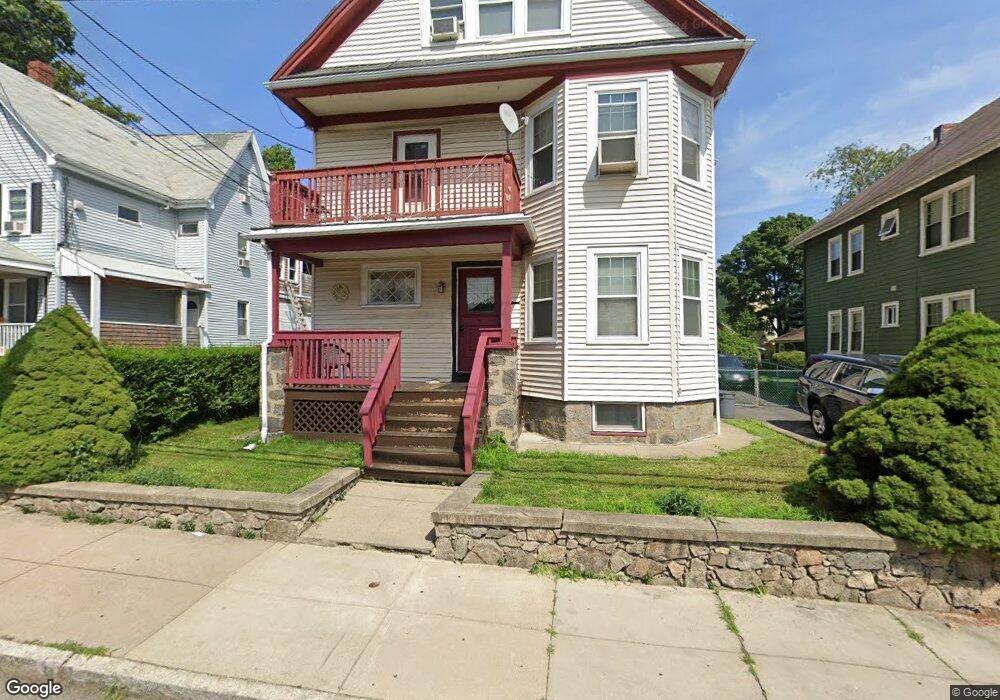
32 Clare Ave Roslindale, MA 02131
Roslindale NeighborhoodEstimated Value: $847,000 - $1,057,000
5
Beds
3
Baths
3,042
Sq Ft
$305/Sq Ft
Est. Value
About This Home
This home is located at 32 Clare Ave, Roslindale, MA 02131 and is currently estimated at $927,273, approximately $304 per square foot. 32 Clare Ave is a home located in Suffolk County with nearby schools including Brooke Charter School Roslindale, Sacred Heart STEM School, and St. Clare High School.
Ownership History
Date
Name
Owned For
Owner Type
Purchase Details
Closed on
Mar 30, 1998
Sold by
Lamb Arthur E and Lamb Judith A
Bought by
Edwards Paulette and Brown Rohan A
Current Estimated Value
Create a Home Valuation Report for This Property
The Home Valuation Report is an in-depth analysis detailing your home's value as well as a comparison with similar homes in the area
Home Values in the Area
Average Home Value in this Area
Purchase History
| Date | Buyer | Sale Price | Title Company |
|---|---|---|---|
| Edwards Paulette | $190,000 | -- |
Source: Public Records
Mortgage History
| Date | Status | Borrower | Loan Amount |
|---|---|---|---|
| Open | Edwards Paulette | $150,000 | |
| Closed | Edwards Paulette | $75,800 | |
| Closed | Edwards Paulette | $61,000 | |
| Closed | Edwards Paulette | $25,000 |
Source: Public Records
Tax History
| Year | Tax Paid | Tax Assessment Tax Assessment Total Assessment is a certain percentage of the fair market value that is determined by local assessors to be the total taxable value of land and additions on the property. | Land | Improvement |
|---|---|---|---|---|
| 2025 | $9,381 | $810,100 | $220,700 | $589,400 |
| 2024 | $7,690 | $705,500 | $198,800 | $506,700 |
| 2023 | $7,218 | $672,100 | $189,400 | $482,700 |
| 2022 | $6,768 | $622,100 | $175,300 | $446,800 |
| 2021 | $6,263 | $587,000 | $165,400 | $421,600 |
| 2020 | $6,087 | $576,400 | $151,200 | $425,200 |
| 2019 | $5,837 | $553,800 | $122,700 | $431,100 |
| 2018 | $5,374 | $512,800 | $122,700 | $390,100 |
| 2017 | $5,073 | $479,000 | $122,700 | $356,300 |
| 2016 | $5,018 | $456,200 | $122,700 | $333,500 |
| 2015 | $4,378 | $361,500 | $114,700 | $246,800 |
| 2014 | $4,092 | $325,300 | $114,700 | $210,600 |
Source: Public Records
Map
Nearby Homes
- 6 Ramsdell Ave Unit 4
- 624 Hyde Park Ave Unit C3
- 115 Navarre St Unit 2
- 60 Stella Rd
- 800 Hyde Park Ave Unit 3
- 8 Mount Calvary Rd Unit 4
- 175 Clare Ave Unit B3
- 543 Hyde Park Ave Unit 1
- 16 Hilburn Place
- 68 Rowe St Unit 3
- 76 Dale St
- 49 Dale St
- 472 Hyde Park Ave Unit 472
- 87 Victoria Heights Rd
- 65 Victoria Heights Rd Unit 65
- 895 Hyde Park Ave Unit 2
- 514 Metropolitan Ave Unit 514A
- 179 Hebron St
- 72 Livermore St
- 265 Hebron St
- 36 Clare Ave
- 28 Clare Ave
- 28 Clare Ave Unit 1
- 38 Clare Ave Unit 1
- 38 Clare Ave
- 43 Navarre St
- 39 Navarre St
- 47 Navarre St
- 35 Navarre St Unit 37
- 20 Clare Ave
- 20 Clare Ave Unit 1
- 51 Navarre St
- 51 Navarre St Unit B
- 41 Clare Ave Unit B
- 41 Clare Ave Unit A
- 41 Clare Ave Unit 1-A
- 37 Clare Ave
- 33 Clare Ave
- 43 Clare Ave Unit B
- 43 Clare Ave Unit A
Your Personal Tour Guide
Ask me questions while you tour the home.