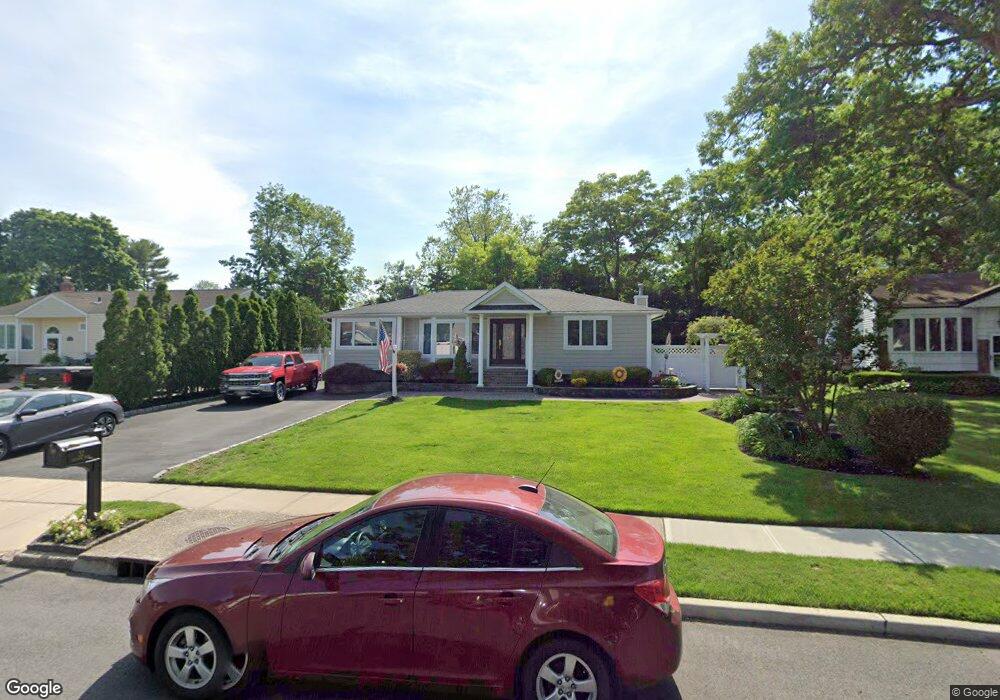
32 Clifford Blvd Hauppauge, NY 11788
Estimated Value: $676,088 - $842,000
3
Beds
1
Bath
1,072
Sq Ft
$695/Sq Ft
Est. Value
About This Home
This home is located at 32 Clifford Blvd, Hauppauge, NY 11788 and is currently estimated at $744,522, approximately $694 per square foot. 32 Clifford Blvd is a home located in Suffolk County with nearby schools including Hauppauge Middle School, Hauppauge High School, and Smithtown Christian School.
Ownership History
Date
Name
Owned For
Owner Type
Purchase Details
Closed on
Jun 21, 1999
Sold by
Maggi Joseph J and Maggi Mary Ann
Bought by
Maggi Steven F and Maggi Hallie S
Current Estimated Value
Home Financials for this Owner
Home Financials are based on the most recent Mortgage that was taken out on this home.
Original Mortgage
$172,600
Outstanding Balance
$45,670
Interest Rate
7.09%
Mortgage Type
FHA
Estimated Equity
$698,852
Create a Home Valuation Report for This Property
The Home Valuation Report is an in-depth analysis detailing your home's value as well as a comparison with similar homes in the area
Home Values in the Area
Average Home Value in this Area
Purchase History
| Date | Buyer | Sale Price | Title Company |
|---|---|---|---|
| Maggi Steven F | $210,000 | Advantage Title |
Source: Public Records
Mortgage History
| Date | Status | Borrower | Loan Amount |
|---|---|---|---|
| Open | Maggi Steven F | $172,600 |
Source: Public Records
Tax History Compared to Growth
Tax History
| Year | Tax Paid | Tax Assessment Tax Assessment Total Assessment is a certain percentage of the fair market value that is determined by local assessors to be the total taxable value of land and additions on the property. | Land | Improvement |
|---|---|---|---|---|
| 2024 | $8,809 | $4,745 | $300 | $4,445 |
| 2023 | $8,809 | $4,745 | $300 | $4,445 |
| 2022 | $7,271 | $4,745 | $300 | $4,445 |
| 2021 | $7,271 | $4,745 | $300 | $4,445 |
| 2020 | $8,485 | $4,745 | $300 | $4,445 |
| 2019 | $8,485 | $0 | $0 | $0 |
| 2018 | -- | $4,745 | $300 | $4,445 |
| 2017 | $7,867 | $4,745 | $300 | $4,445 |
| 2016 | $7,826 | $4,745 | $300 | $4,445 |
| 2015 | -- | $4,445 | $300 | $4,145 |
| 2014 | -- | $4,445 | $300 | $4,145 |
Source: Public Records
Map
Nearby Homes
- 44 Apple Tree Dr
- 365 Route 111 Unit A-4
- 23 Tiffany Ln
- 58 Sherbrooke Dr
- 639 Townline Rd
- 25 Estate Rd
- 355 Route 111 Unit 6
- 10 N Hoffman Ln
- 2 Fawn Place
- 274 Mount Pleasant Rd
- 185 S Plaisted Ave
- 9 Nolan Ct
- 316 Mount Pleasant Rd
- 442 Hoffman Ln
- 311 Devon Ln
- 2 W Pond Ct
- 220 Larch Ln
- 305 Devon Ln
- 6 Keystone Ct
- 173 North Ln
- 30 Clifford Blvd
- 34 Clifford Blvd
- 28 Clifford Blvd
- 7 Sequoia Dr
- 36 Clifford Blvd
- 37 Clifford Blvd
- 5 Sequoia Dr
- 9 Sequoia Dr
- 9 Sequoia Dr
- 35 Clifford Blvd
- 39 Clifford Blvd
- 26 Clifford Blvd
- 38 Clifford Blvd
- 33 Clifford Blvd
- 3 Sequoia Dr
- 11 Sequoia Dr
- 40 Clifford Blvd
- 31 Clifford Blvd
- 24 Clifford Blvd
- 6 Sarah Dr