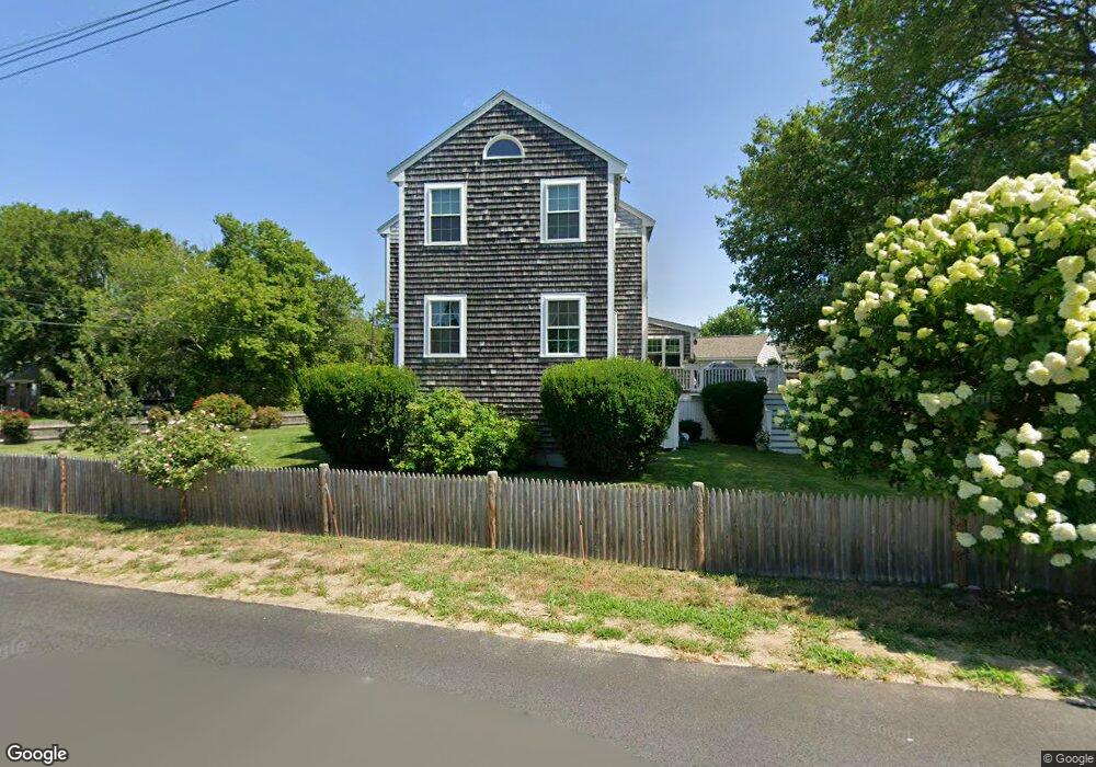
32 Country Way Marshfield, MA 02050
Ocean Bluff-Brant Rock NeighborhoodEstimated Value: $720,000 - $886,000
5
Beds
2
Baths
2,072
Sq Ft
$389/Sq Ft
Est. Value
About This Home
This home is located at 32 Country Way, Marshfield, MA 02050 and is currently estimated at $806,775, approximately $389 per square foot. 32 Country Way is a home located in Plymouth County with nearby schools including Daniel Webster, Furnace Brook Middle School, and Marshfield High School.
Ownership History
Date
Name
Owned For
Owner Type
Purchase Details
Closed on
Mar 29, 2022
Sold by
Silva Lucien A and Silva Virginia B
Bought by
Silva Irt and Silva
Current Estimated Value
Purchase Details
Closed on
Jun 1, 1977
Bought by
Silva Lucien A and Silva Virginia B
Create a Home Valuation Report for This Property
The Home Valuation Report is an in-depth analysis detailing your home's value as well as a comparison with similar homes in the area
Home Values in the Area
Average Home Value in this Area
Purchase History
| Date | Buyer | Sale Price | Title Company |
|---|---|---|---|
| Silva Irt | -- | None Available | |
| Silva Lucien A | -- | -- |
Source: Public Records
Mortgage History
| Date | Status | Borrower | Loan Amount |
|---|---|---|---|
| Previous Owner | Silva Lucien A | $143,000 | |
| Previous Owner | Silva Lucien A | $143,000 | |
| Previous Owner | Silva Lucien A | $25,000 |
Source: Public Records
Tax History Compared to Growth
Tax History
| Year | Tax Paid | Tax Assessment Tax Assessment Total Assessment is a certain percentage of the fair market value that is determined by local assessors to be the total taxable value of land and additions on the property. | Land | Improvement |
|---|---|---|---|---|
| 2025 | $6,367 | $643,100 | $323,200 | $319,900 |
| 2024 | $6,191 | $595,900 | $303,000 | $292,900 |
| 2023 | $5,812 | $527,500 | $272,700 | $254,800 |
| 2022 | $5,812 | $448,800 | $232,300 | $216,500 |
| 2021 | $5,491 | $416,300 | $222,200 | $194,100 |
| 2020 | $5,071 | $380,400 | $191,900 | $188,500 |
| 2019 | $4,940 | $369,200 | $191,900 | $177,300 |
| 2018 | $4,885 | $365,400 | $191,900 | $173,500 |
| 2017 | $4,679 | $341,000 | $181,800 | $159,200 |
| 2016 | $4,429 | $319,100 | $171,700 | $147,400 |
| 2015 | $4,192 | $315,400 | $171,700 | $143,700 |
| 2014 | $4,080 | $307,000 | $171,700 | $135,300 |
Source: Public Records
Map
Nearby Homes
- 61 Mayflower Ln
- 114 Hartford Rd
- 81 Mayflower Ln
- 81 Mayflower Ln Unit 83
- 81 Mayflower Ln Unit 1
- 57 Mayflower Ln
- 6 Breakwater Ct
- 40 Country Way
- 10 Breakwater Ct
- 83 Mayflower Ln
- 83 Mayflower Ln Unit 1
- 53 Mayflower Ln
- 111 Hartford Rd
- 104 Hartford Rd
- 104 Hartford Rd
- 104 Hartford Rd Unit 1
- 14 Breakwater Ct
- 87 Mayflower Ln
- 125 Monitor Rd
- 119 Monitor Rd