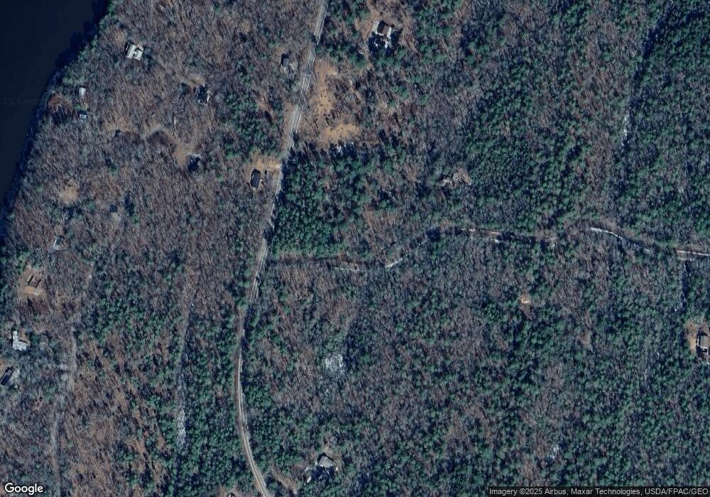
32 Cove Side Way Westport Island, ME 04578
Estimated Value: $765,000 - $1,004,000
3
Beds
3
Baths
2,750
Sq Ft
$321/Sq Ft
Est. Value
About This Home
This home is located at 32 Cove Side Way, Westport Island, ME 04578 and is currently estimated at $882,795, approximately $321 per square foot. 32 Cove Side Way is a home located in Lincoln County.
Ownership History
Date
Name
Owned For
Owner Type
Purchase Details
Closed on
Nov 28, 2022
Sold by
Swist James A and Swist Barbara A
Bought by
Hughes Michael R
Current Estimated Value
Purchase Details
Closed on
May 3, 2017
Sold by
Hughes Robin A
Bought by
Hughes Michael R
Home Financials for this Owner
Home Financials are based on the most recent Mortgage that was taken out on this home.
Original Mortgage
$235,000
Interest Rate
4.23%
Mortgage Type
New Conventional
Create a Home Valuation Report for This Property
The Home Valuation Report is an in-depth analysis detailing your home's value as well as a comparison with similar homes in the area
Home Values in the Area
Average Home Value in this Area
Purchase History
| Date | Buyer | Sale Price | Title Company |
|---|---|---|---|
| Hughes Michael R | -- | None Available | |
| Hughes Michael R | -- | None Available | |
| Hughes Michael R | -- | None Available | |
| Hughes Michael R | -- | -- | |
| Hughes Michael R | -- | -- | |
| Hughes Michael R | -- | -- |
Source: Public Records
Mortgage History
| Date | Status | Borrower | Loan Amount |
|---|---|---|---|
| Previous Owner | Hughes Michael R | $235,000 |
Source: Public Records
Tax History Compared to Growth
Tax History
| Year | Tax Paid | Tax Assessment Tax Assessment Total Assessment is a certain percentage of the fair market value that is determined by local assessors to be the total taxable value of land and additions on the property. | Land | Improvement |
|---|---|---|---|---|
| 2025 | $5,533 | $650,916 | $141,259 | $509,657 |
| 2024 | $4,581 | $619,096 | $155,770 | $463,326 |
| 2023 | $3,651 | $557,399 | $94,073 | $463,326 |
| 2022 | $3,722 | $448,418 | $68,643 | $379,775 |
| 2021 | $3,543 | $448,418 | $68,643 | $379,775 |
| 2020 | $3,632 | $448,418 | $68,643 | $379,775 |
| 2019 | $3,350 | $448,418 | $68,643 | $379,775 |
| 2018 | $2,960 | $448,418 | $68,643 | $379,775 |
| 2016 | $0 | $0 | $0 | $0 |
| 2014 | $3,520 | $468,733 | $0 | $0 |
| 2013 | $3,633 | $468,733 | $80,776 | $387,957 |
Source: Public Records
Map
Nearby Homes
- 0 Maine 144
- M4 L12.30B McCarty Cove Rd
- 19 Riverside Ave
- 91 Tree Farm Dr
- 44 Stone Point Ln
- 13 Porcupine Ln
- 23 Sunny Acres Ln
- 576 Back River Rd
- 15 Lewis Dr
- 712 Back River Rd
- 30 Taylor Rd
- 284 Hockomock Rd
- 18 High Head Rd
- 27 Doggett Rd
- 17 Lester Rd
- 44-4 Windrush Ln
- 124 Main Rd
- 2 Ready Point Rd
- Lot 1 Sanders Rd
- Lot 4 Fawn Meadow Dr
- Lot 7B Cove Side Way
- 17 Coveside Way
- 14 Coveside Way
- 14 Cove Side Way
- 15 Coveside
- 14-12 Coveside Way
- Lot 14.13 Coveside Way
- 978 Main Rd
- 7 Coveside
- 14.11A Cove Side Way
- 0 Coveside
- 18 Cove Side Way
- Lot 14.15B Cove Side Way
- Lot 14.15A Cove Side Way
- Lot #7B Cove Side Way
- 983 Main Rd
- Lot C Main Rd
- 14.03 Main Rd
- 78 Bay Shore Rd
- 88 Bay Shore Rd
