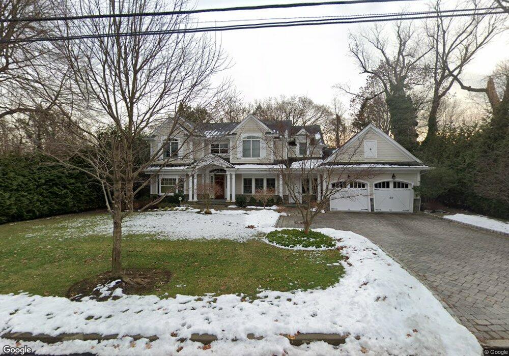
32 Crabtree Ln Tenafly, NJ 07670
Estimated Value: $1,814,000 - $2,583,000
Studio
--
Bath
3,789
Sq Ft
$575/Sq Ft
Est. Value
About This Home
This home is located at 32 Crabtree Ln, Tenafly, NJ 07670 and is currently estimated at $2,178,228, approximately $574 per square foot. 32 Crabtree Ln is a home located in Bergen County with nearby schools including Tenafly Middle School, Tenafly High School, and Englewood on the Palisades Charter School.
Ownership History
Date
Name
Owned For
Owner Type
Purchase Details
Closed on
Nov 3, 2010
Sold by
Davis Robert A
Bought by
Yang Ge and Yuan Xiaohui
Current Estimated Value
Home Financials for this Owner
Home Financials are based on the most recent Mortgage that was taken out on this home.
Original Mortgage
$304,000
Outstanding Balance
$191,184
Interest Rate
3.37%
Mortgage Type
Purchase Money Mortgage
Estimated Equity
$1,987,044
Purchase Details
Closed on
Oct 27, 2007
Sold by
Davis Robert A and Davis Edward J
Bought by
Davis Robert A
Create a Home Valuation Report for This Property
The Home Valuation Report is an in-depth analysis detailing your home's value as well as a comparison with similar homes in the area
Home Values in the Area
Average Home Value in this Area
Purchase History
| Date | Buyer | Sale Price | Title Company |
|---|---|---|---|
| Yang Ge | $720,000 | -- | |
| Davis Robert A | -- | -- |
Source: Public Records
Mortgage History
| Date | Status | Borrower | Loan Amount |
|---|---|---|---|
| Open | Yang Ge | $304,000 |
Source: Public Records
Tax History
| Year | Tax Paid | Tax Assessment Tax Assessment Total Assessment is a certain percentage of the fair market value that is determined by local assessors to be the total taxable value of land and additions on the property. | Land | Improvement |
|---|---|---|---|---|
| 2025 | $34,814 | $1,225,400 | $547,000 | $678,400 |
| 2024 | $33,968 | $1,225,400 | $547,000 | $678,400 |
| 2023 | $33,147 | $1,225,400 | $547,000 | $678,400 |
| 2022 | $33,147 | $1,225,400 | $547,000 | $678,400 |
| 2021 | $31,517 | $1,225,400 | $547,000 | $678,400 |
| 2020 | $32,081 | $1,225,400 | $547,000 | $678,400 |
| 2019 | $31,517 | $1,225,400 | $547,000 | $678,400 |
| 2018 | $31,027 | $1,225,400 | $547,000 | $678,400 |
| 2017 | $30,917 | $1,225,400 | $547,000 | $678,400 |
| 2016 | $30,304 | $1,225,400 | $547,000 | $678,400 |
| 2015 | $29,630 | $1,225,400 | $547,000 | $678,400 |
| 2014 | $29,079 | $1,225,400 | $547,000 | $678,400 |
Source: Public Records
Map
Nearby Homes
- 401 Conrad Rd
- 54 Windsor Rd
- 171 Pleasant Ave
- 203 Cambridge Ave
- 174 Pleasant Ave
- 403 Lantana Ave
- 69 Sussex Rd
- 63 W Hudson Ave Unit C5
- 314 Knickerbocker Rd
- 117 Brookview Terrace
- 142 Saint Nicholas Ave
- 302 W Clinton Ave
- 250 Stuyvesant Rd
- 248 E Clinton Ave
- 306 Tenafly Rd
- 266 Hamilton Rd
- 190 Knickerbocker Rd Unit 17
- 25 Clinton Park Dr
- 1806 Rensselaer Rd
- 121 Lylewood Dr
Your Personal Tour Guide
Ask me questions while you tour the home.