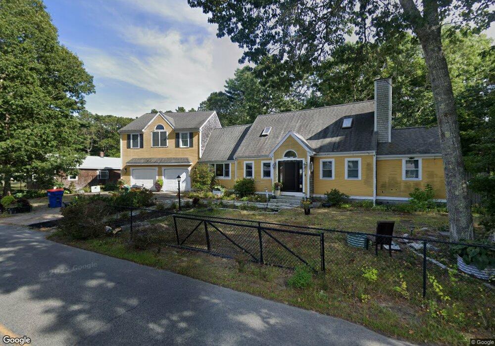
32 Crooked River Rd Wareham, MA 02571
Estimated Value: $646,000 - $861,000
4
Beds
3
Baths
2,567
Sq Ft
$285/Sq Ft
Est. Value
About This Home
This home is located at 32 Crooked River Rd, Wareham, MA 02571 and is currently estimated at $732,129, approximately $285 per square foot. 32 Crooked River Rd is a home located in Plymouth County.
Ownership History
Date
Name
Owned For
Owner Type
Purchase Details
Closed on
Nov 23, 1994
Sold by
Ditalia John J
Bought by
Brooks Leitta R and Brooks Tanya M
Current Estimated Value
Home Financials for this Owner
Home Financials are based on the most recent Mortgage that was taken out on this home.
Original Mortgage
$104,500
Interest Rate
8.91%
Mortgage Type
Purchase Money Mortgage
Create a Home Valuation Report for This Property
The Home Valuation Report is an in-depth analysis detailing your home's value as well as a comparison with similar homes in the area
Purchase History
| Date | Buyer | Sale Price | Title Company |
|---|---|---|---|
| Brooks Leitta R | $110,000 | -- | |
| Brooks Leitta R | $110,000 | -- |
Source: Public Records
Mortgage History
| Date | Status | Borrower | Loan Amount |
|---|---|---|---|
| Open | Brooks Leitta R | $50,000 | |
| Open | Brooks Leitta R | $240,000 | |
| Closed | Brooks Leitta R | $189,000 | |
| Closed | Brooks Leitta R | $104,500 |
Source: Public Records
Tax History
| Year | Tax Paid | Tax Assessment Tax Assessment Total Assessment is a certain percentage of the fair market value that is determined by local assessors to be the total taxable value of land and additions on the property. | Land | Improvement |
|---|---|---|---|---|
| 2025 | $6,071 | $582,600 | $110,600 | $472,000 |
| 2024 | $6,503 | $579,100 | $88,600 | $490,500 |
| 2023 | $6,163 | $512,300 | $80,600 | $431,700 |
| 2022 | $5,553 | $421,300 | $80,600 | $340,700 |
| 2021 | $5,447 | $405,000 | $80,600 | $324,400 |
| 2020 | $5,158 | $389,000 | $80,600 | $308,400 |
| 2019 | $5,101 | $383,800 | $85,200 | $298,600 |
| 2018 | $90 | $340,900 | $85,200 | $255,700 |
| 2017 | $4,556 | $338,700 | $85,200 | $253,500 |
| 2016 | $4,415 | $326,300 | $89,400 | $236,900 |
| 2015 | $4,265 | $326,300 | $89,400 | $236,900 |
| 2014 | $3,990 | $310,500 | $89,400 | $221,100 |
Source: Public Records
Map
Nearby Homes
- 10 Dowd Ave
- 7 Cranberry Ln
- 0 Squaw's Path
- 10 Oak St
- 65 Great Neck Rd
- 124 Minot Ave Unit 1
- 1 Gibbs Ball Park Rd
- 391 Onset Ave
- 8 Over Jordan Rd
- 14 Over Jordan Rd
- 12 Linwood Ave
- 6 Allen Ave
- 7 Knowles Ave
- 15 Broadmarsh Ave
- 156 Sandwich Rd
- 12 Oakdale St
- 43 Shore Ave
- 276a Onset Ave
- 20 Grant St
- 6 Beacon St Unit 79
- 30 Crooked River Rd
- 25 Crooked River Rd
- 23 Crooked River Rd
- 28 Crooked River Rd
- 21 Crooked River Rd
- 26 Crooked River Rd
- 19 Crooked River Rd
- 19 Crooked River Rd
- 24 Crooked River Rd
- 17 Crooked River Rd
- 15 Crooked River Rd
- 20 Crooked River Rd
- 13 Crooked River Rd
- 1 Jacks Marsh Ln
- 1 Jacks Marsh Ln
- 11 Crooked River Rd
- 6 Glenwood Cir
- 10 Glenwood Cir
- 1 E Edgewater Dr
- 1 E Edgewater Dr
Your Personal Tour Guide
Ask me questions while you tour the home.